Distance between  Hexham and
  Wyndham
1,792.82 mi Straight Distance
2,420.07 mi Driving Distance
1 day 10 hours Estimated Driving Time
The straight distance between Hexham (Victoria) and Wyndham (Western Australia) is 1,792.82 mi, but the driving distance is 2,420.07 mi.
It takes 2 days 0 hours to go from Hexham to Wyndham.
Driving directions from Hexham to Wyndham
Distance in kilometers
Straight distance: 2,884.65 km. Route distance: 3,893.90 km
Hexham, Australia
Latitude: -37.9954 // Longitude: 142.687
Photos of Hexham
Hexham Weather

Predicción: Broken clouds
Temperatura: 13.0°
Humedad: 79%
Hora actual: 12:00 AM
Amanece: 08:59 PM
Anochece: 07:57 AM
Wyndham, Australia
Latitude: -15.4648 // Longitude: 128.1
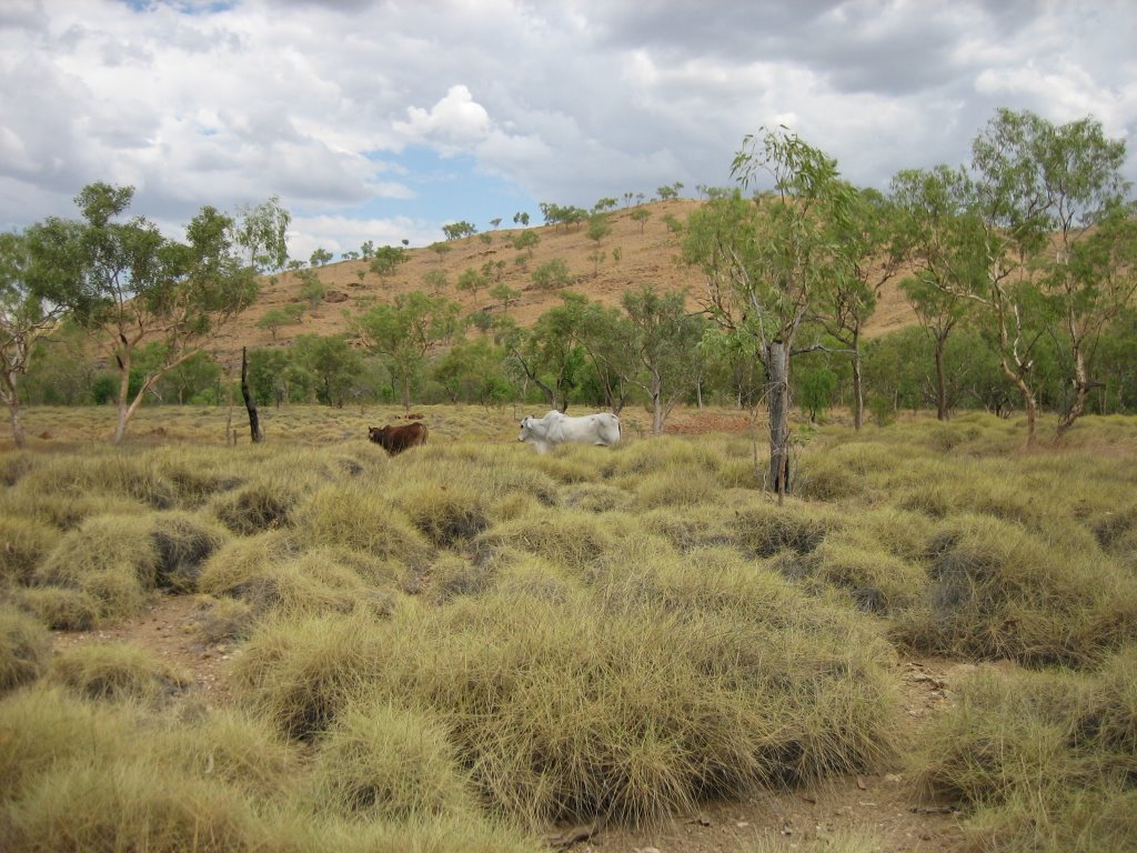
Photos of Wyndham
Wyndham Weather

Predicción: Overcast clouds
Temperatura: 29.6°
Humedad: 40%
Hora actual: 07:33 AM
Amanece: 05:35 AM
Anochece: 05:17 PM


