Distance between  Hervey Bay and
  North Tamborine
183.59 mi Straight Distance
224.78 mi Driving Distance
4 hours 13 mins Estimated Driving Time
The straight distance between Hervey Bay (Queensland) and North Tamborine (Queensland) is 183.59 mi, but the driving distance is 224.78 mi.
It takes 4 hours 10 mins to go from Hervey Bay to North Tamborine.
Driving directions from Hervey Bay to North Tamborine
Distance in kilometers
Straight distance: 295.39 km. Route distance: 361.67 km
Hervey Bay, Australia
Latitude: -25.2896 // Longitude: 152.831
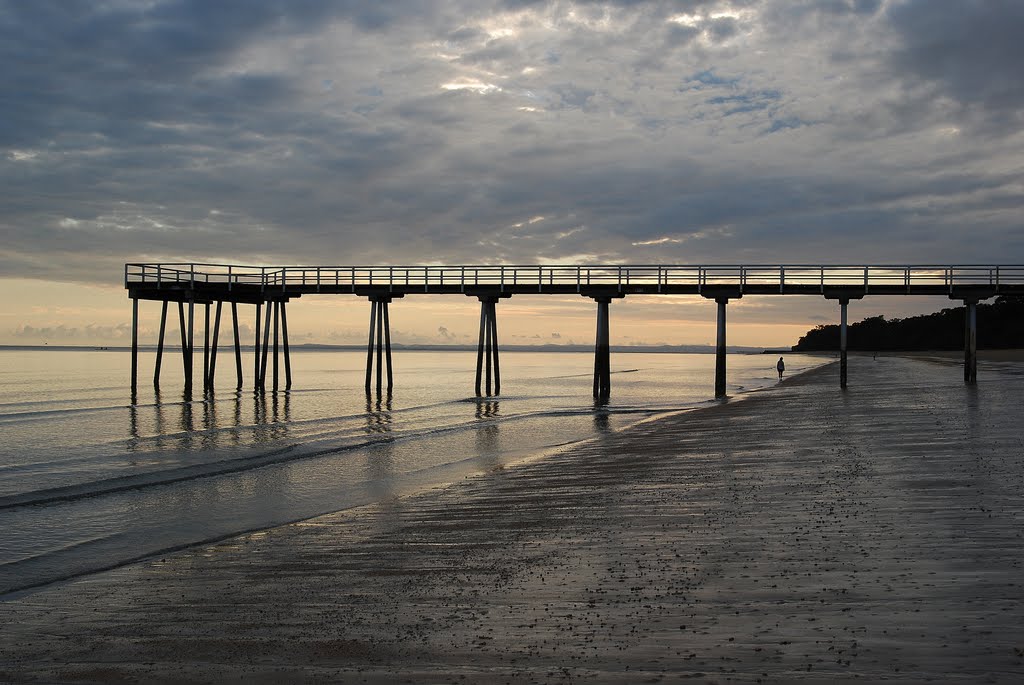
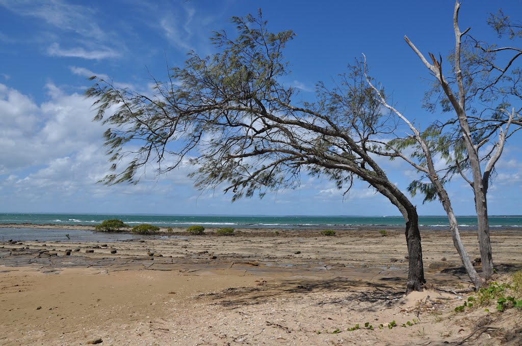
Photos of Hervey Bay
Hervey Bay Weather

Predicción: Overcast clouds
Temperatura: 20.7°
Humedad: 97%
Hora actual: 07:08 AM
Amanece: 06:05 AM
Anochece: 05:29 PM
North Tamborine, Australia
Latitude: -27.9278 // Longitude: 153.185
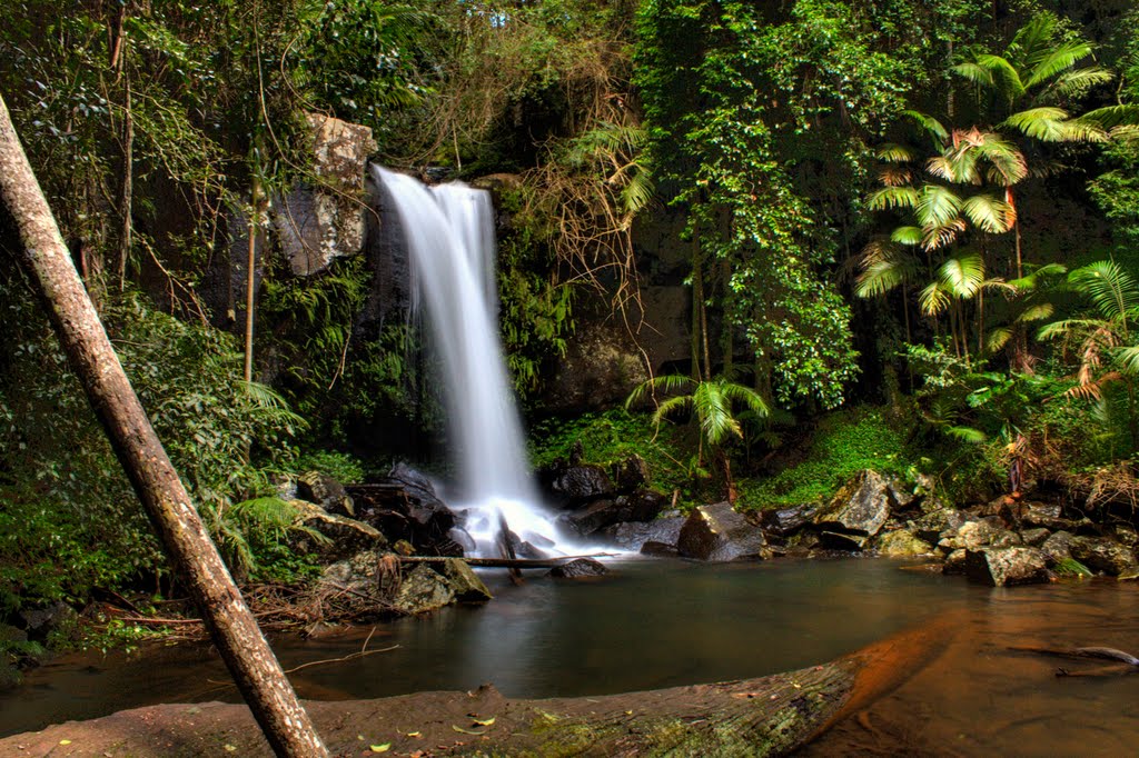
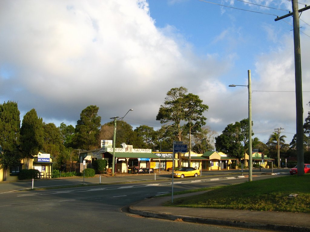
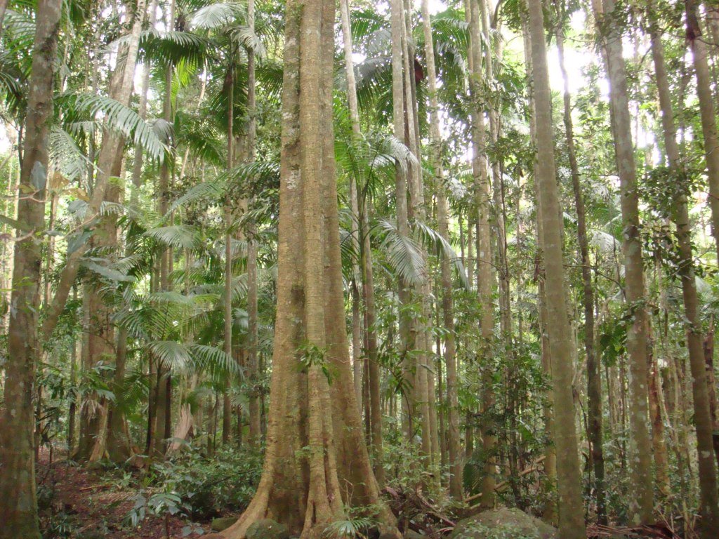
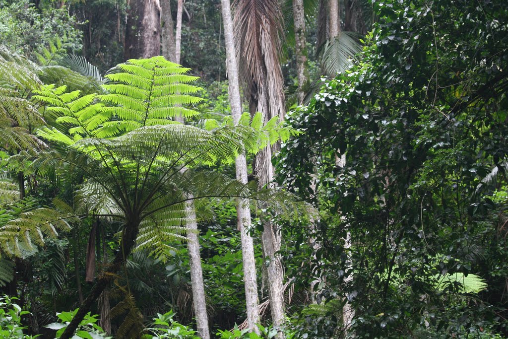
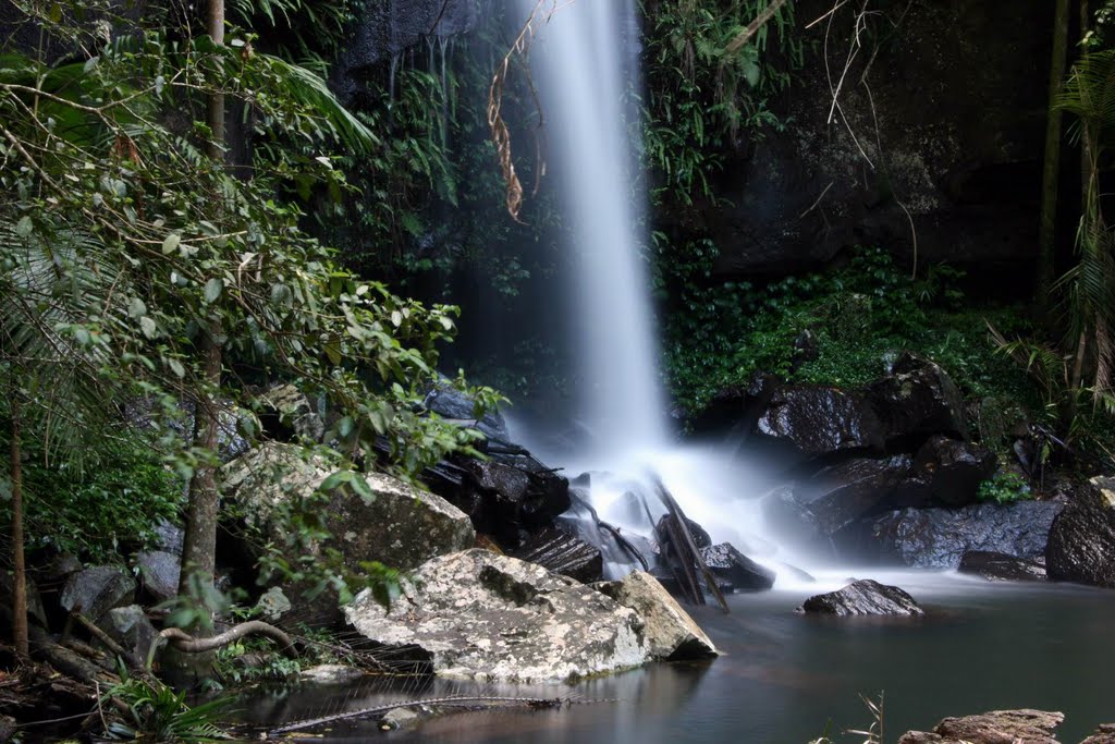
Photos of North Tamborine
North Tamborine Weather

Predicción: Clear sky
Temperatura: 13.5°
Humedad: 96%
Hora actual: 07:08 AM
Amanece: 06:06 AM
Anochece: 05:25 PM


