Distance between  Herons Creek and
  Gulmarrad
148.41 mi Straight Distance
184.53 mi Driving Distance
3 hours 11 mins Estimated Driving Time
The straight distance between Herons Creek (New South Wales) and Gulmarrad (New South Wales) is 148.41 mi, but the driving distance is 184.53 mi.
It takes 3 hours 22 mins to go from Herons Creek to Gulmarrad.
Driving directions from Herons Creek to Gulmarrad
Distance in kilometers
Straight distance: 238.80 km. Route distance: 296.91 km
Herons Creek, Australia
Latitude: -31.5906 // Longitude: 152.725
Photos of Herons Creek
Herons Creek Weather

Predicción: Light rain
Temperatura: 18.2°
Humedad: 86%
Hora actual: 05:35 PM
Amanece: 06:11 AM
Anochece: 05:25 PM
Gulmarrad, Australia
Latitude: -29.4878 // Longitude: 153.234
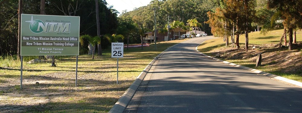
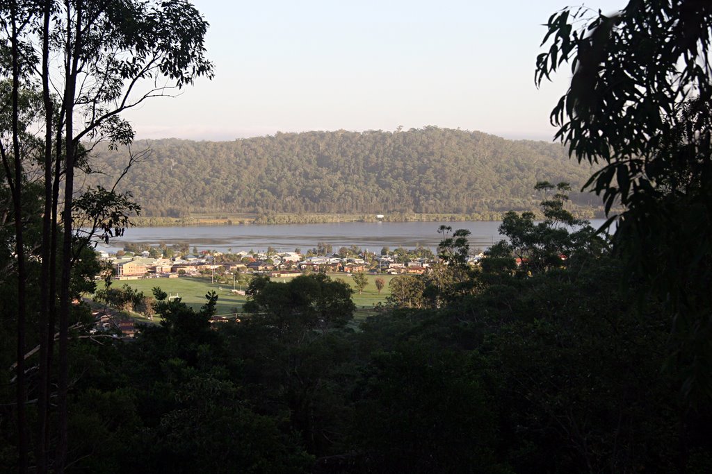
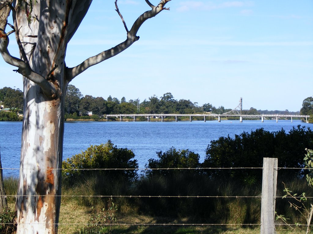
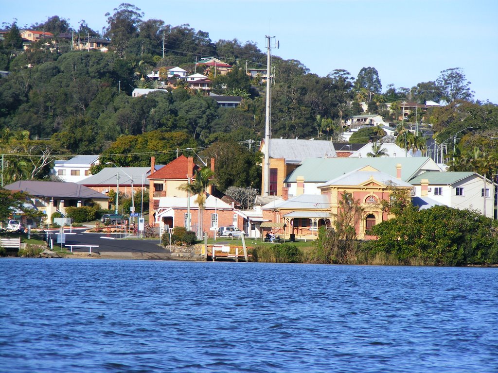
Photos of Gulmarrad
Gulmarrad Weather

Predicción: Light rain
Temperatura: 21.9°
Humedad: 96%
Hora actual: 05:35 PM
Amanece: 06:07 AM
Anochece: 05:25 PM


