Distance between  Hay and
  Gogeldrie
81.74 mi Straight Distance
95.15 mi Driving Distance
1 hour 50 mins Estimated Driving Time
The straight distance between Hay (New South Wales) and Gogeldrie (New South Wales) is 81.74 mi, but the driving distance is 95.15 mi.
It takes to go from Hay to Gogeldrie.
Driving directions from Hay to Gogeldrie
Distance in kilometers
Straight distance: 131.52 km. Route distance: 153.10 km
Hay, Australia
Latitude: -34.5093 // Longitude: 144.844
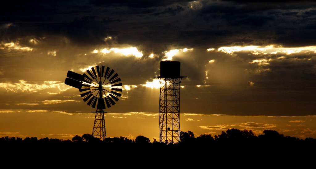
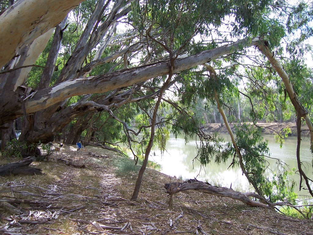
Photos of Hay
Hay Weather

Predicción: Clear sky
Temperatura: 14.8°
Humedad: 56%
Hora actual: 02:31 AM
Amanece: 06:45 AM
Anochece: 05:54 PM
Gogeldrie, Australia
Latitude: -34.5539 // Longitude: 146.279
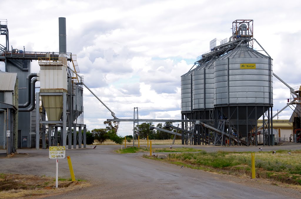
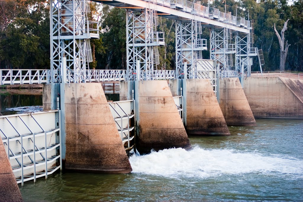
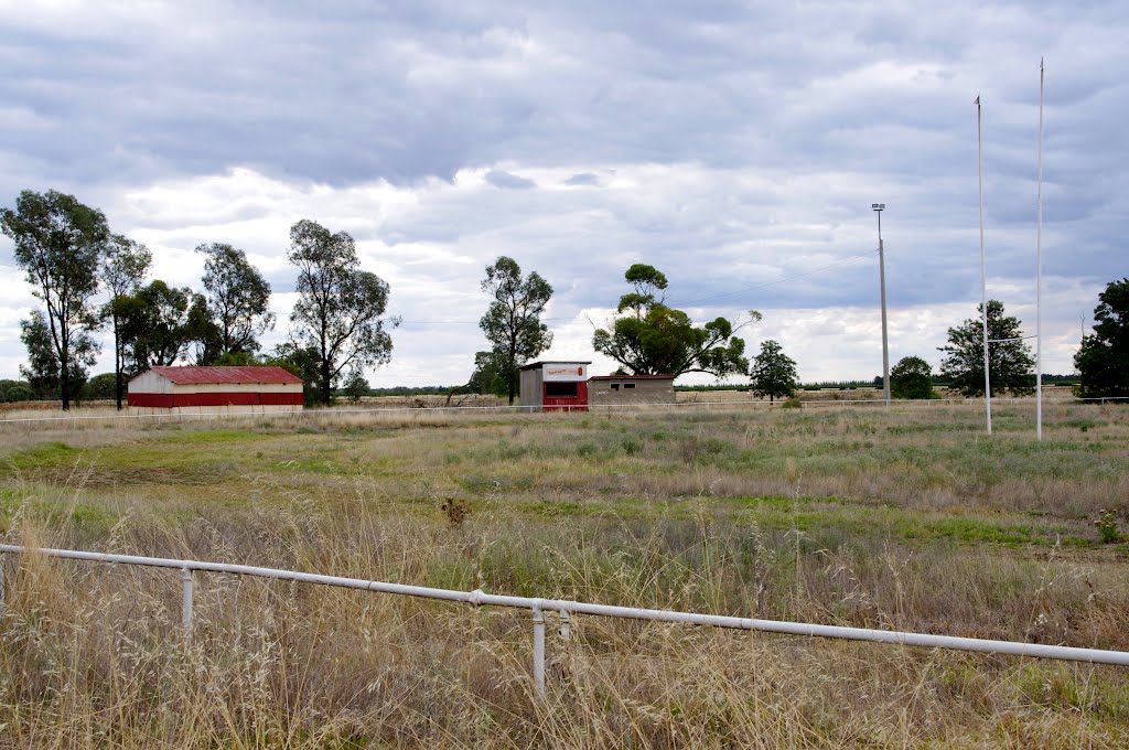
Photos of Gogeldrie
Gogeldrie Weather

Predicción: Clear sky
Temperatura: 13.4°
Humedad: 55%
Hora actual: 10:00 AM
Amanece: 06:39 AM
Anochece: 05:48 PM


