Distance between  Hawker and
  Buckleboo
147.52 mi Straight Distance
186.25 mi Driving Distance
3 hours 11 mins Estimated Driving Time
The straight distance between Hawker (South Australia) and Buckleboo (South Australia) is 147.52 mi, but the driving distance is 186.25 mi.
It takes to go from Hawker to Buckleboo.
Driving directions from Hawker to Buckleboo
Distance in kilometers
Straight distance: 237.35 km. Route distance: 299.68 km
Hawker, Australia
Latitude: -31.8874 // Longitude: 138.423
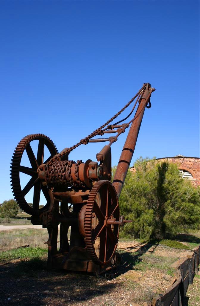
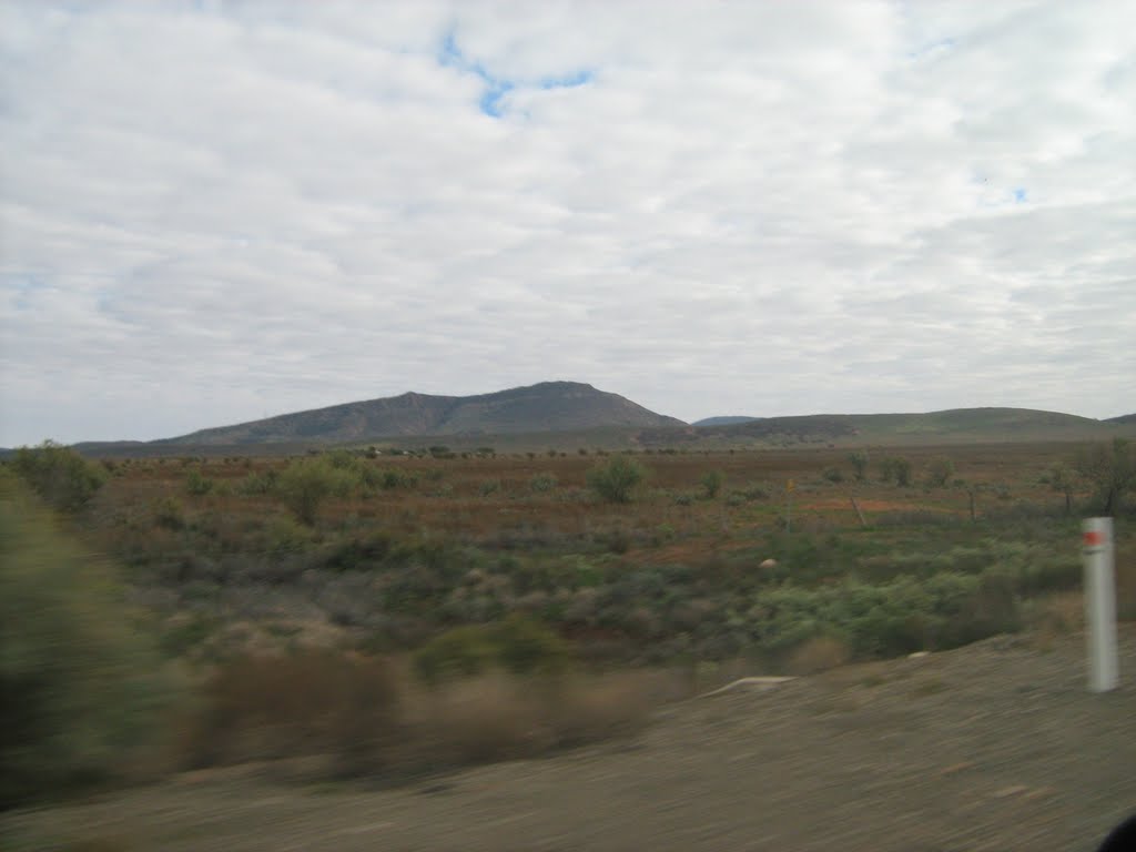
Photos of Hawker
Hawker Weather

Predicción: Overcast clouds
Temperatura: 11.8°
Humedad: 78%
Hora actual: 03:03 AM
Amanece: 06:39 AM
Anochece: 05:50 PM
Buckleboo, Australia
Latitude: -32.9176 // Longitude: 136.208
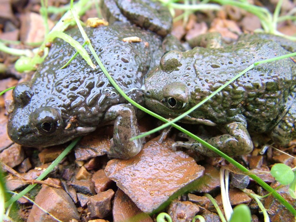
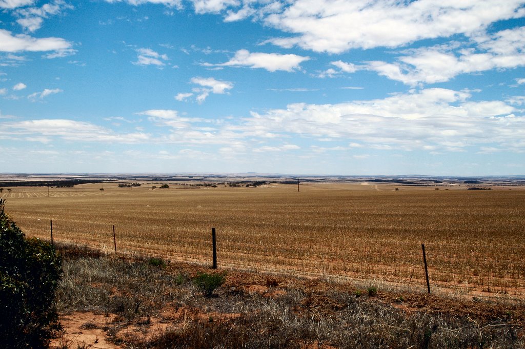
Photos of Buckleboo
Buckleboo Weather

Predicción: Broken clouds
Temperatura: 11.6°
Humedad: 90%
Hora actual: 09:30 AM
Amanece: 06:49 AM
Anochece: 05:58 PM


