Distance between  Hattah and
  Eversley
174.89 mi Straight Distance
192.05 mi Driving Distance
3 hours 11 mins Estimated Driving Time
The straight distance between Hattah (Victoria) and Eversley (Victoria) is 174.89 mi, but the driving distance is 192.05 mi.
It takes to go from Hattah to Eversley.
Driving directions from Hattah to Eversley
Distance in kilometers
Straight distance: 281.39 km. Route distance: 309.01 km
Hattah, Australia
Latitude: -34.7634 // Longitude: 142.28
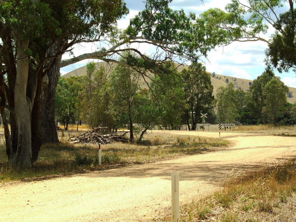
Photos of Hattah
Hattah Weather

Predicción: Scattered clouds
Temperatura: 15.0°
Humedad: 56%
Hora actual: 12:00 AM
Amanece: 08:57 PM
Anochece: 08:02 AM
Eversley, Australia
Latitude: -37.189 // Longitude: 143.174
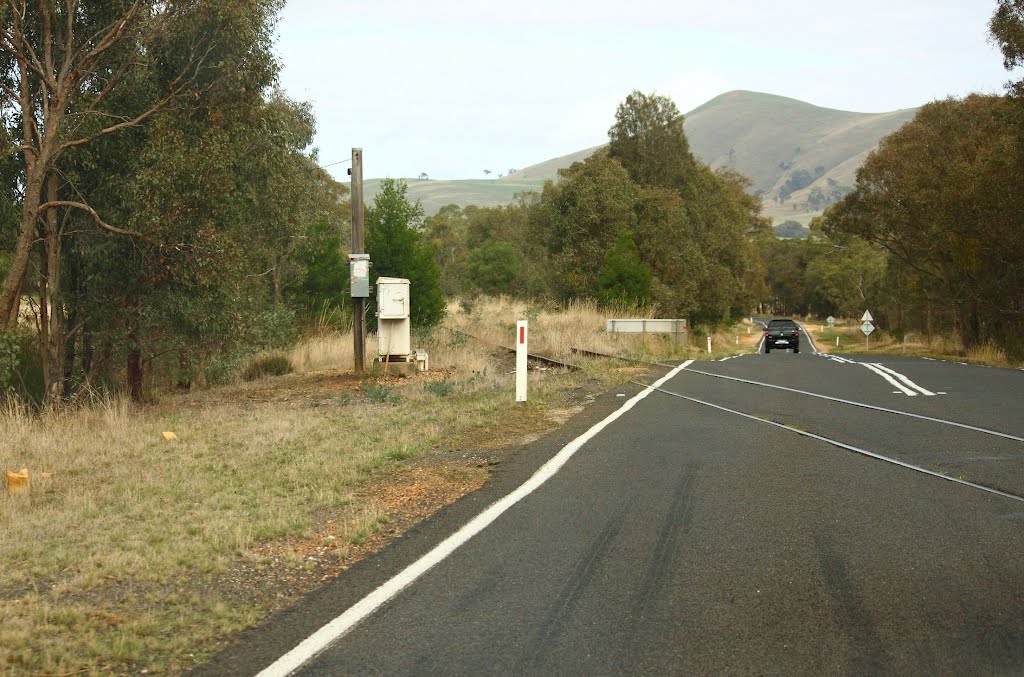
Photos of Eversley
Eversley Weather

Predicción: Overcast clouds
Temperatura: 12.4°
Humedad: 80%
Hora actual: 12:00 AM
Amanece: 08:56 PM
Anochece: 07:56 AM


