Distance between  Harrow and
  Glenlogie
94.11 mi Straight Distance
133.24 mi Driving Distance
2 hours 41 mins Estimated Driving Time
The straight distance between Harrow (Victoria) and Glenlogie (Victoria) is 94.11 mi, but the driving distance is 133.24 mi.
It takes 2 hours 16 mins to go from Harrow to Glenlogie.
Driving directions from Harrow to Glenlogie
Distance in kilometers
Straight distance: 151.42 km. Route distance: 214.39 km
Harrow, Australia
Latitude: -37.1615 // Longitude: 141.594
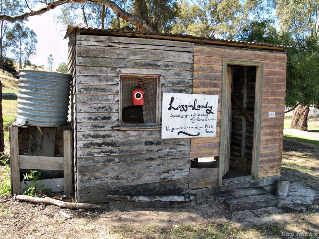
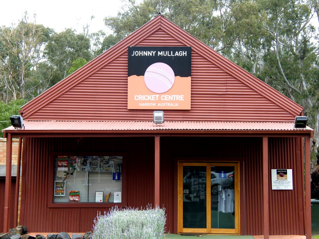
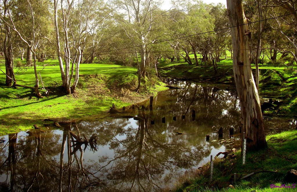
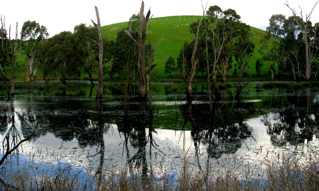
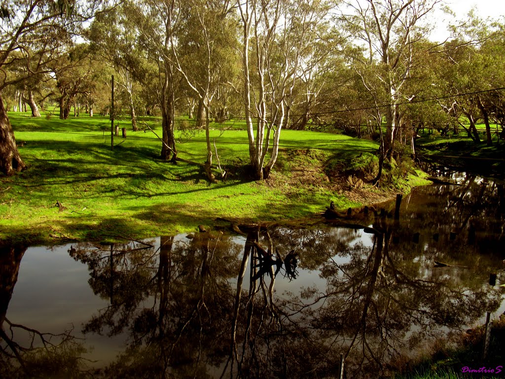
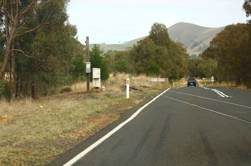
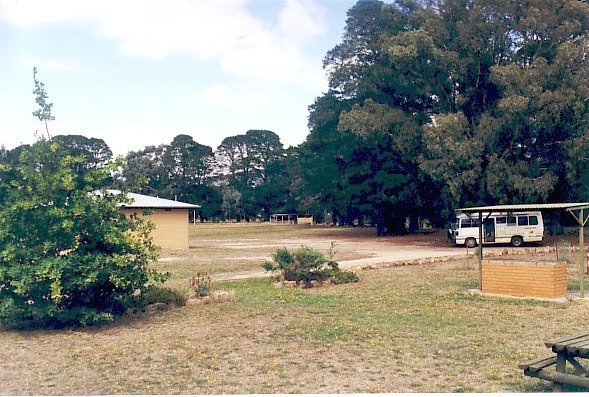
Photos of Harrow
Harrow Weather

Predicción: Overcast clouds
Temperatura: 13.1°
Humedad: 61%
Hora actual: 12:00 AM
Amanece: 09:02 PM
Anochece: 08:02 AM
Glenlogie, Australia
Latitude: -37.2431 // Longitude: 143.301
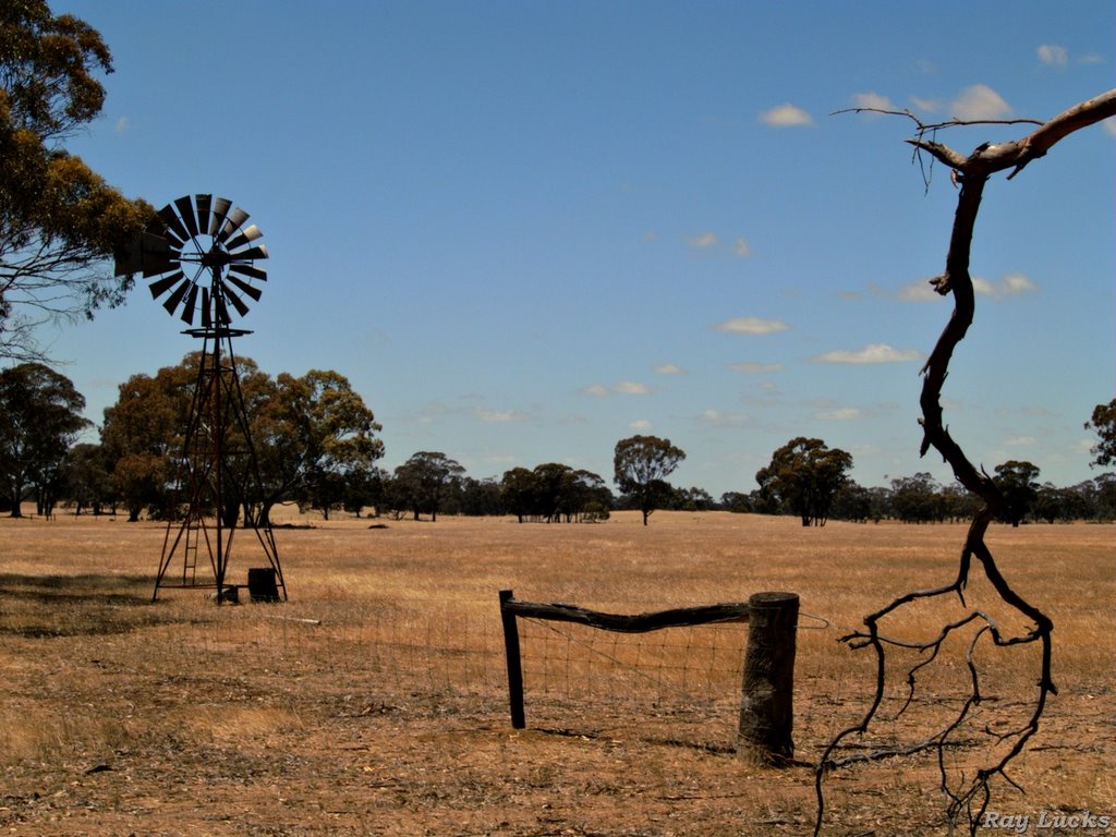
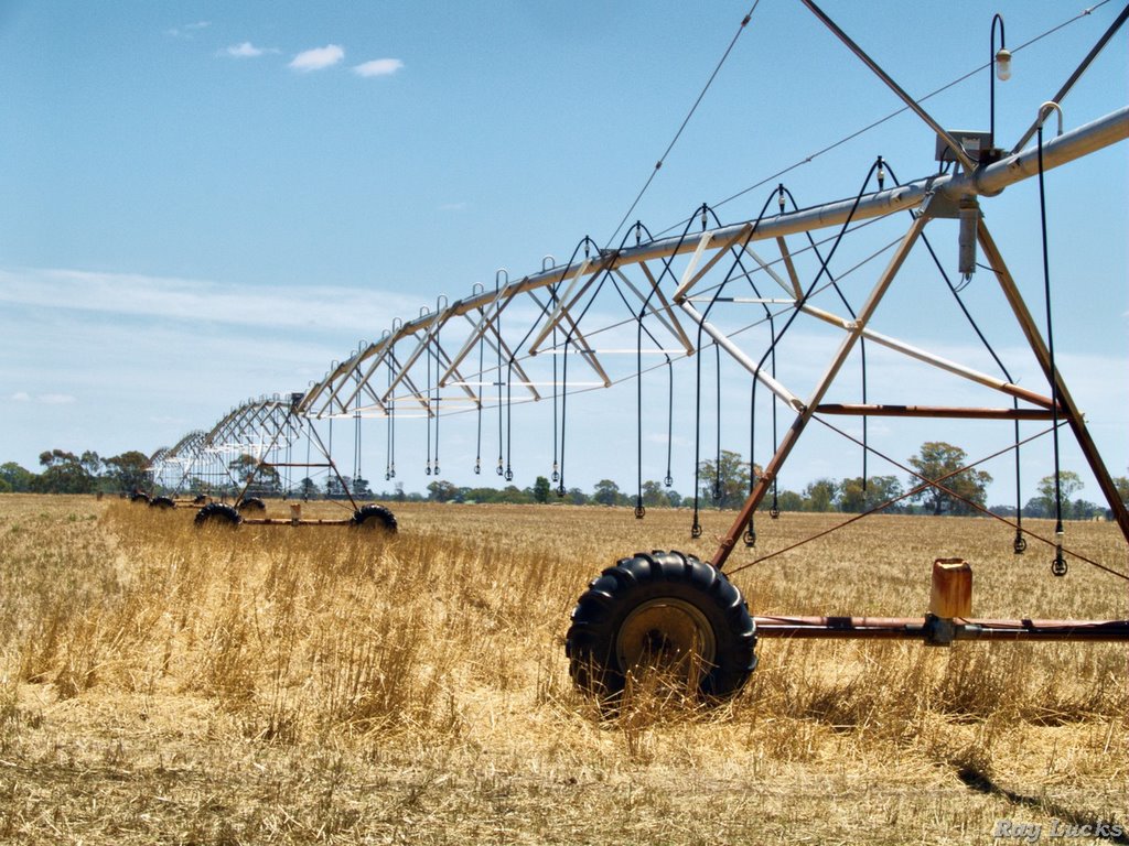
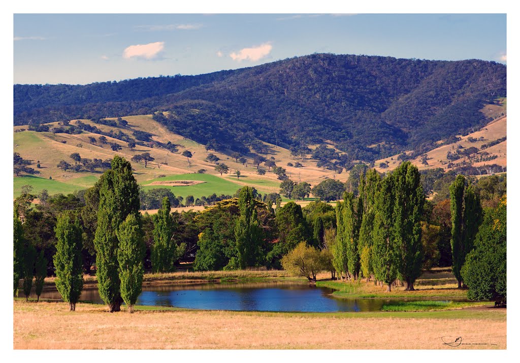
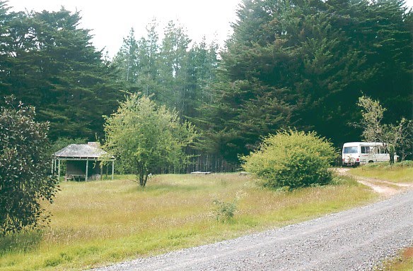
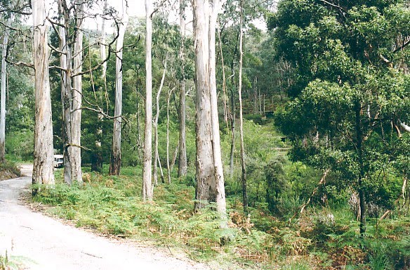
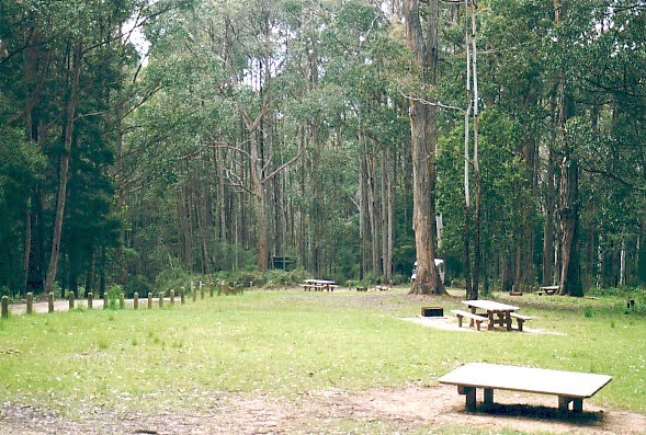
Photos of Glenlogie
Glenlogie Weather

Predicción: Overcast clouds
Temperatura: 11.1°
Humedad: 68%
Hora actual: 12:00 AM
Amanece: 08:56 PM
Anochece: 07:55 AM


