Distance between  Hallett and
  Cape Jervis
157.96 mi Straight Distance
186.24 mi Driving Distance
3 hours 13 mins Estimated Driving Time
The straight distance between Hallett (South Australia) and Cape Jervis (South Australia) is 157.96 mi, but the driving distance is 186.24 mi.
It takes to go from Hallett to Cape Jervis.
Driving directions from Hallett to Cape Jervis
Distance in kilometers
Straight distance: 254.15 km. Route distance: 299.67 km
Hallett, Australia
Latitude: -33.4117 // Longitude: 138.893
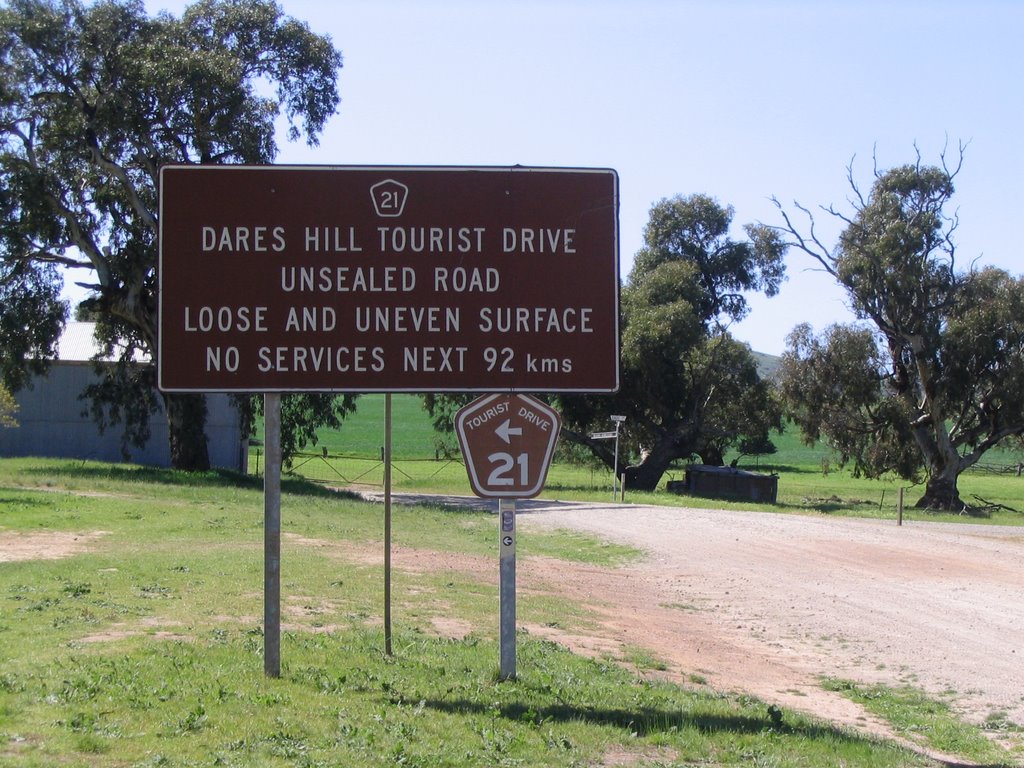
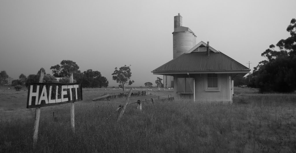
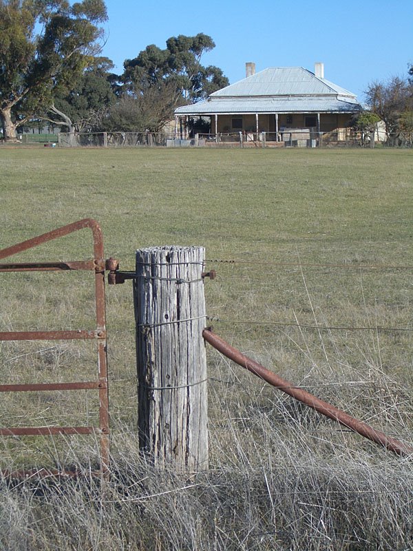
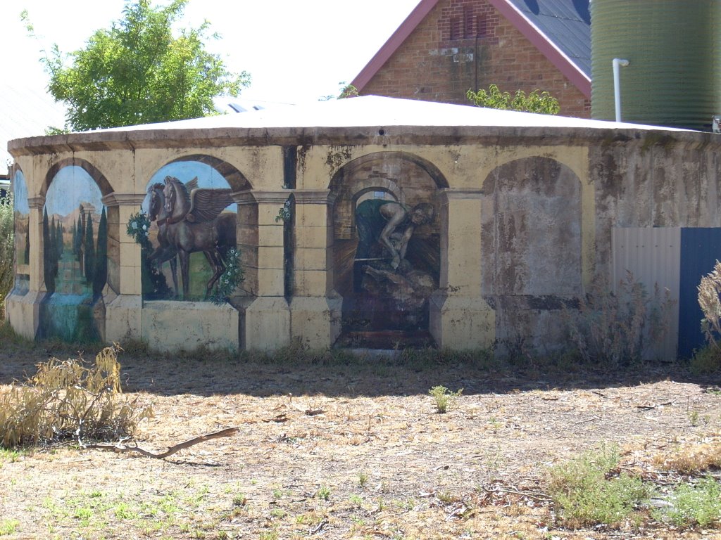
Photos of Hallett
Hallett Weather

Predicción: Few clouds
Temperatura: 14.1°
Humedad: 52%
Hora actual: 12:00 AM
Amanece: 09:10 PM
Anochece: 08:16 AM
Cape Jervis, Australia
Latitude: -35.6037 // Longitude: 138.105
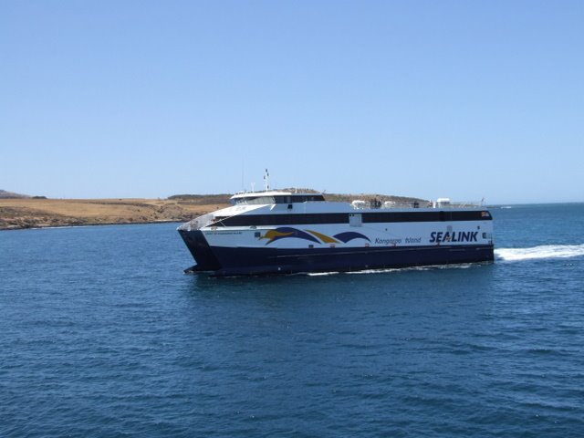
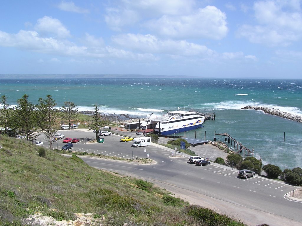
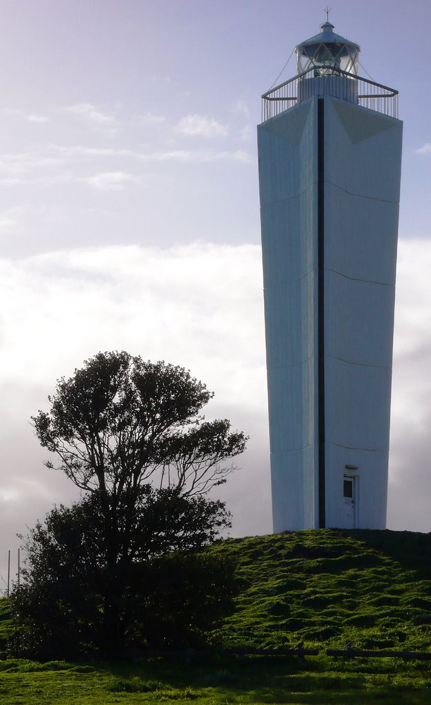
Photos of Cape Jervis
Cape Jervis Weather

Predicción: Few clouds
Temperatura: 16.2°
Humedad: 66%
Hora actual: 12:00 AM
Amanece: 09:15 PM
Anochece: 08:17 AM


