Distance between  Gurley and
  Grenfell
302.92 mi Straight Distance
349.40 mi Driving Distance
6 hours 16 mins Estimated Driving Time
The straight distance between Gurley (New South Wales) and Grenfell (New South Wales) is 302.92 mi, but the driving distance is 349.40 mi.
It takes to go from Gurley to Grenfell.
Driving directions from Gurley to Grenfell
Distance in kilometers
Straight distance: 487.39 km. Route distance: 562.18 km
Gurley, Australia
Latitude: -29.7365 // Longitude: 149.8
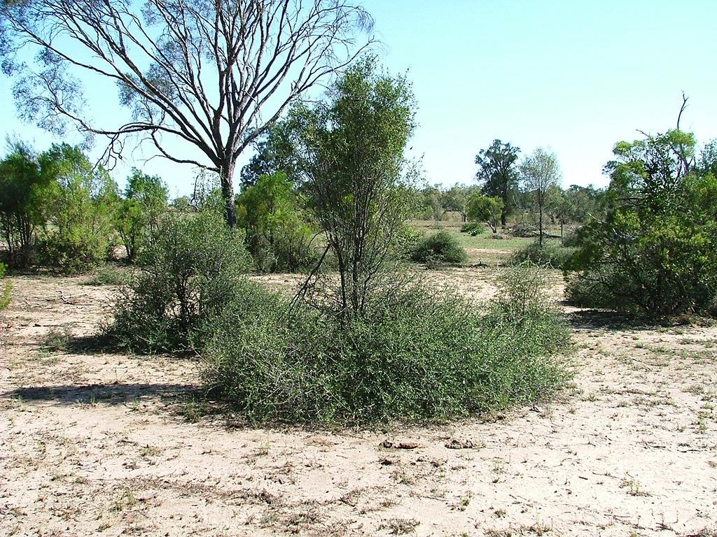
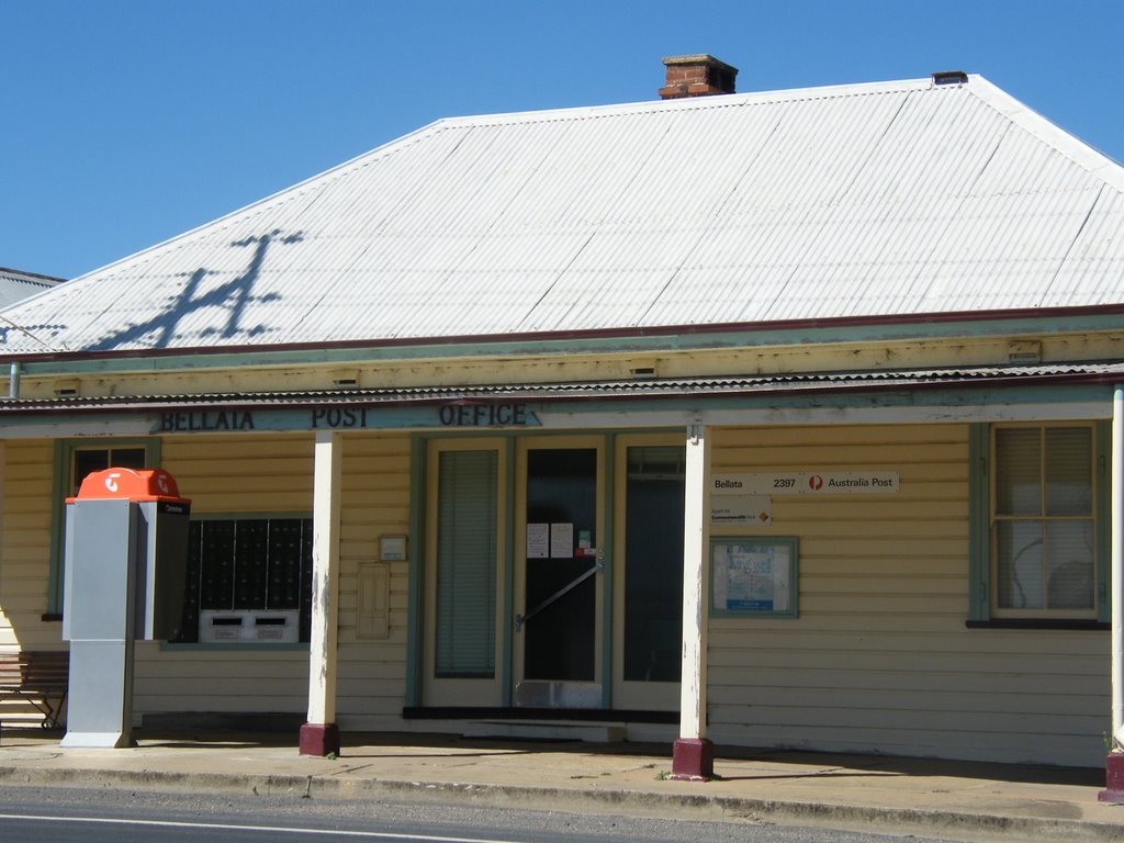
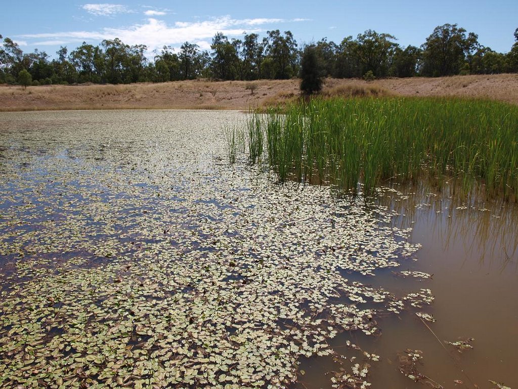
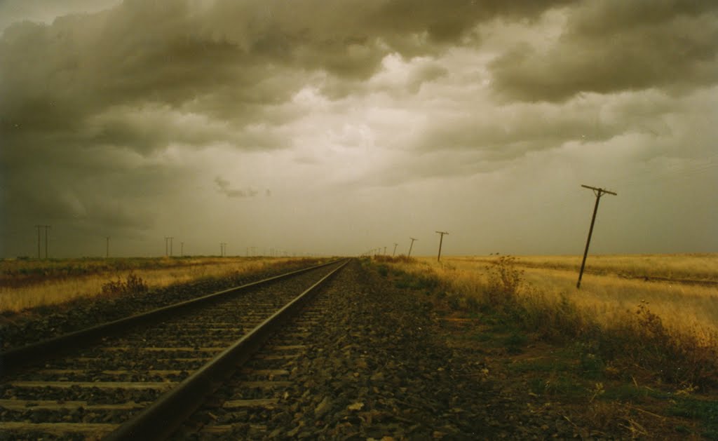
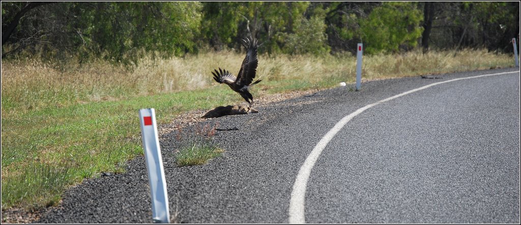
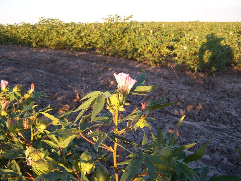
Photos of Gurley
Gurley Weather

Predicción: Clear sky
Temperatura: 16.8°
Humedad: 49%
Hora actual: 12:00 AM
Amanece: 08:21 PM
Anochece: 07:38 AM
Grenfell, Australia
Latitude: -33.8938 // Longitude: 148.161
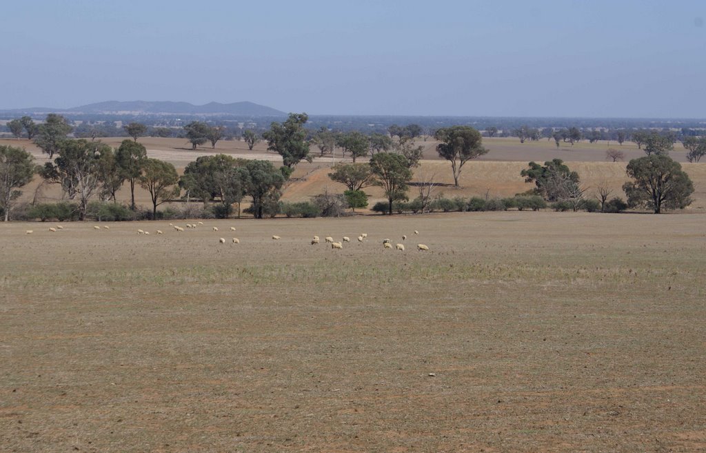
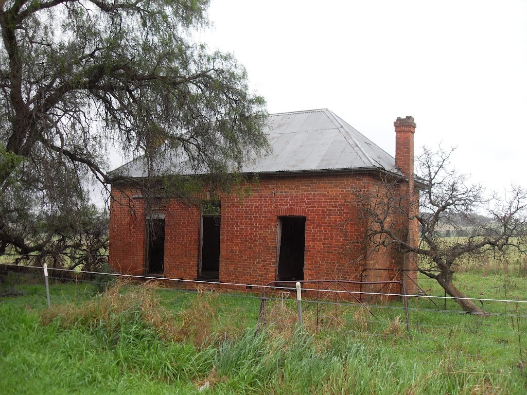
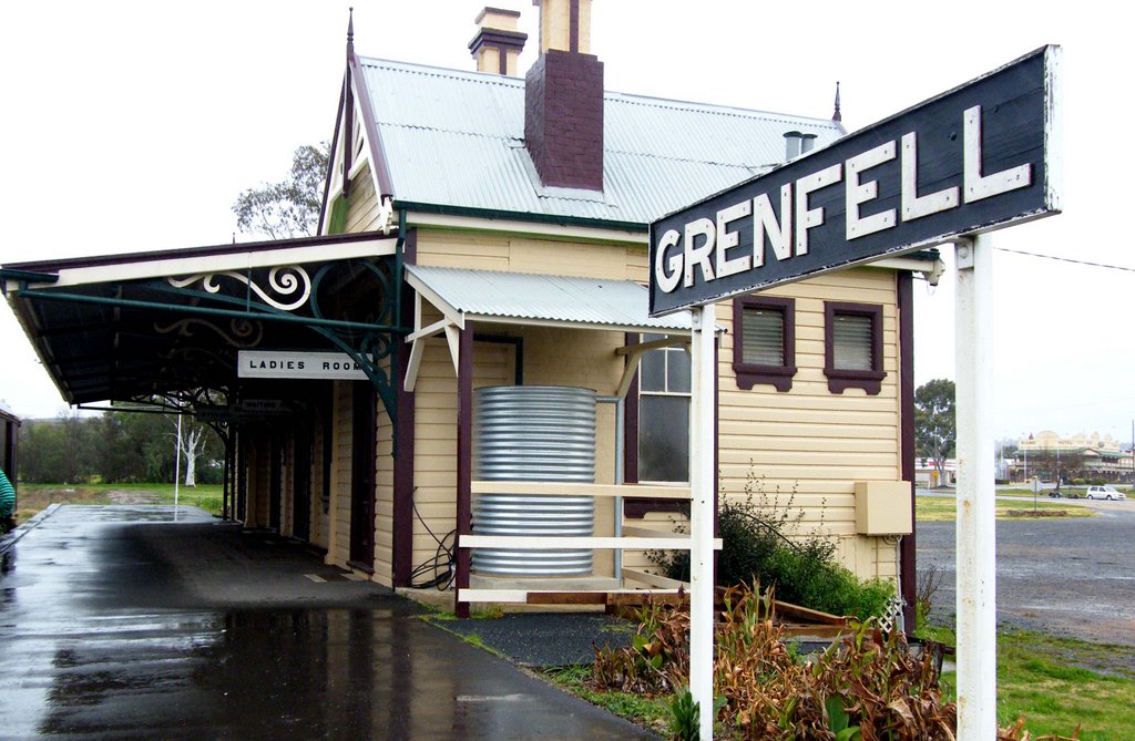
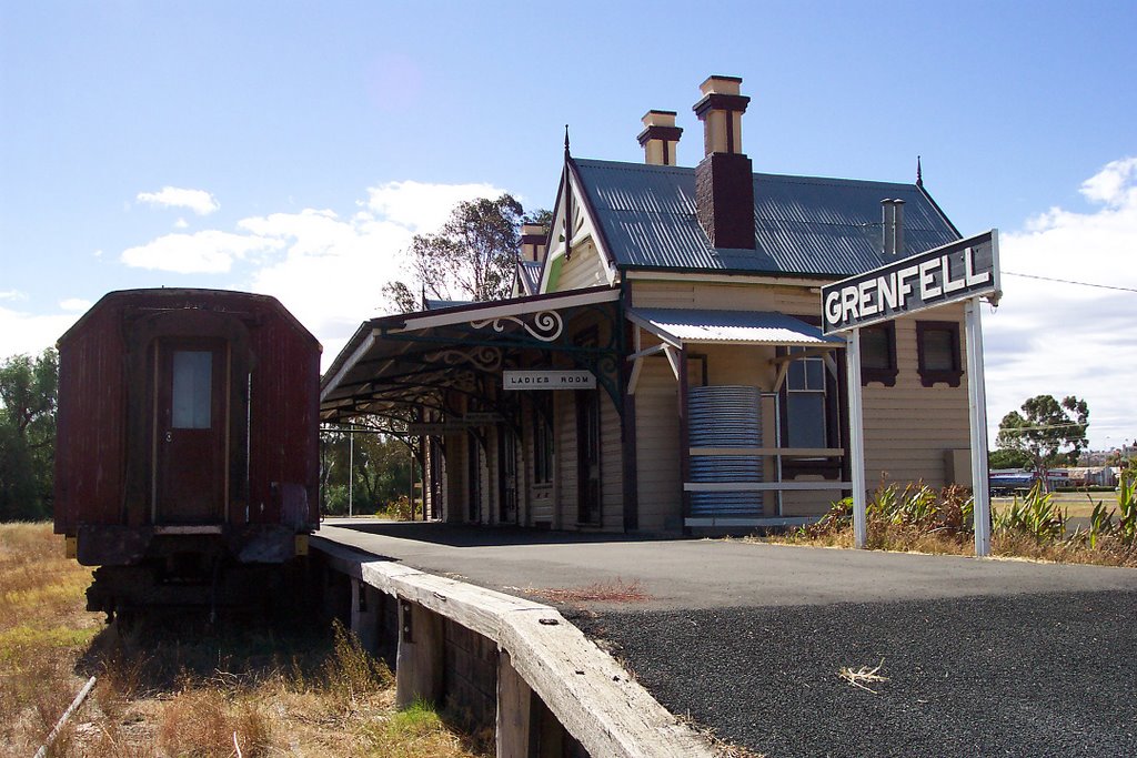
Photos of Grenfell
Grenfell Weather

Predicción: Overcast clouds
Temperatura: 10.3°
Humedad: 65%
Hora actual: 09:15 AM
Amanece: 06:33 AM
Anochece: 05:39 PM


