Distance between  Greta West and
  Tinamba West
102.02 mi Straight Distance
198.13 mi Driving Distance
3 hours 44 mins Estimated Driving Time
The straight distance between Greta West (Victoria) and Tinamba West (Victoria) is 102.02 mi, but the driving distance is 198.13 mi.
It takes to go from Greta West to Tinamba West.
Driving directions from Greta West to Tinamba West
Distance in kilometers
Straight distance: 164.16 km. Route distance: 318.79 km
Greta West, Australia
Latitude: -36.5334 // Longitude: 146.226
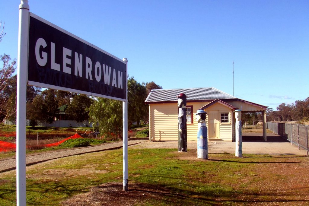
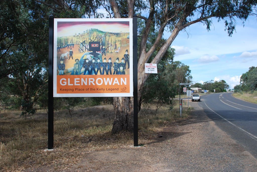
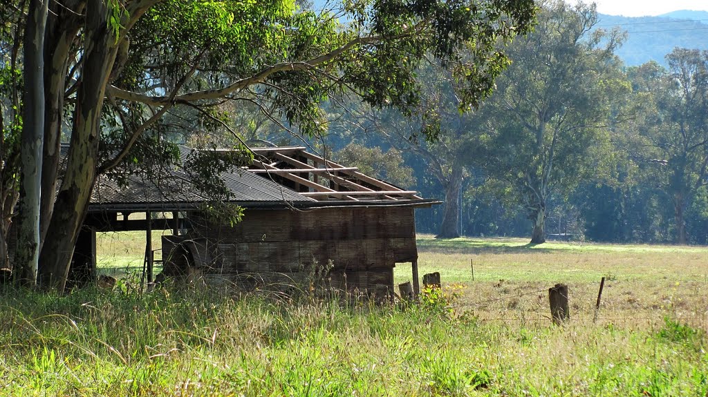
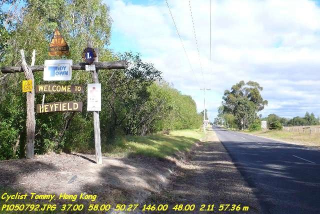
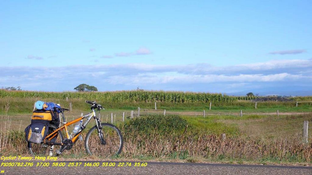
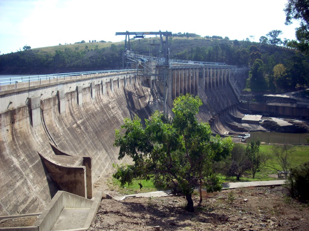
Photos of Greta West
Greta West Weather

Predicción: Overcast clouds
Temperatura: 8.4°
Humedad: 79%
Hora actual: 03:54 AM
Amanece: 06:43 AM
Anochece: 05:44 PM
Tinamba West, Australia
Latitude: -37.9262 // Longitude: 146.842
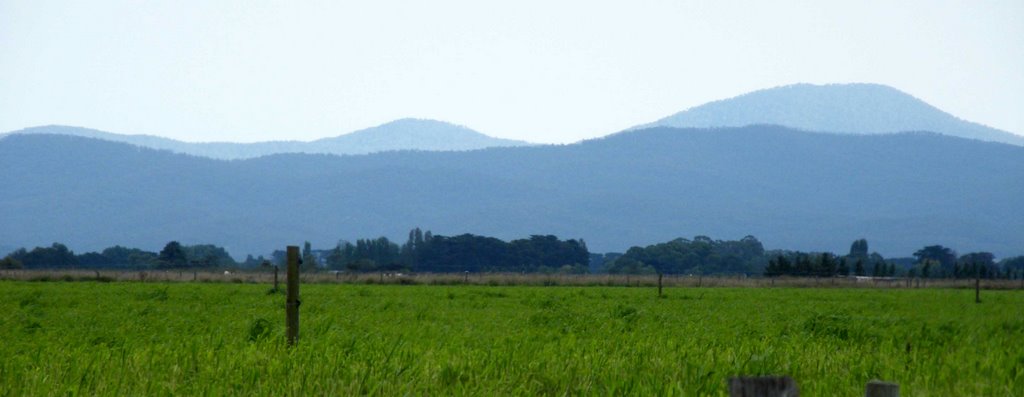
Photos of Tinamba West
Tinamba West Weather

Predicción: Broken clouds
Temperatura: 10.3°
Humedad: 88%
Hora actual: 03:54 AM
Amanece: 06:43 AM
Anochece: 05:40 PM


