Distance between  Greta and
  Coolangatta
154.86 mi Straight Distance
193.82 mi Driving Distance
3 hours 25 mins Estimated Driving Time
The straight distance between Greta (New South Wales) and Coolangatta (New South Wales) is 154.86 mi, but the driving distance is 193.82 mi.
It takes to go from Greta to Coolangatta.
Driving directions from Greta to Coolangatta
Distance in kilometers
Straight distance: 249.18 km. Route distance: 311.85 km
Greta, Australia
Latitude: -32.6783 // Longitude: 151.389
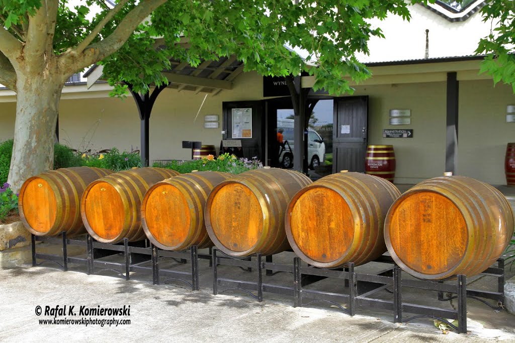
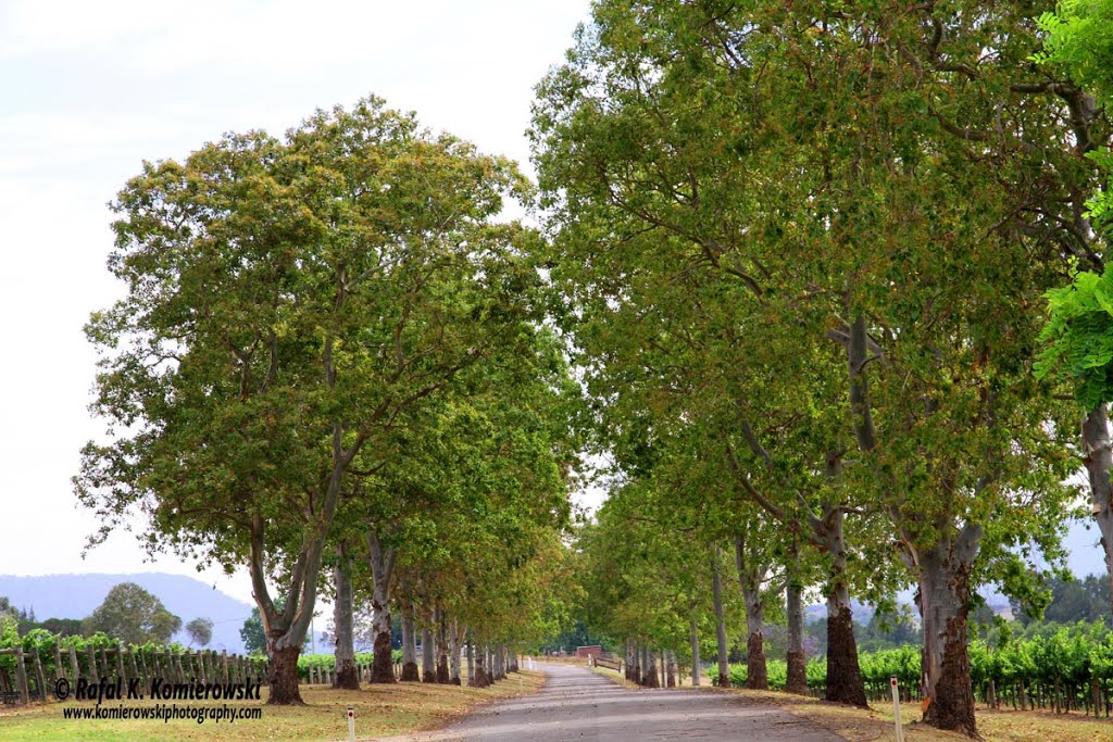
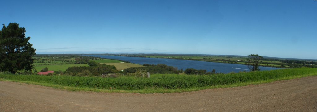
Photos of Greta
Greta Weather

Predicción: Overcast clouds
Temperatura: 22.6°
Humedad: 41%
Hora actual: 11:37 AM
Amanece: 06:18 AM
Anochece: 05:28 PM
Coolangatta, Australia
Latitude: -34.8513 // Longitude: 150.728
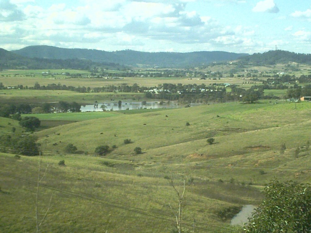
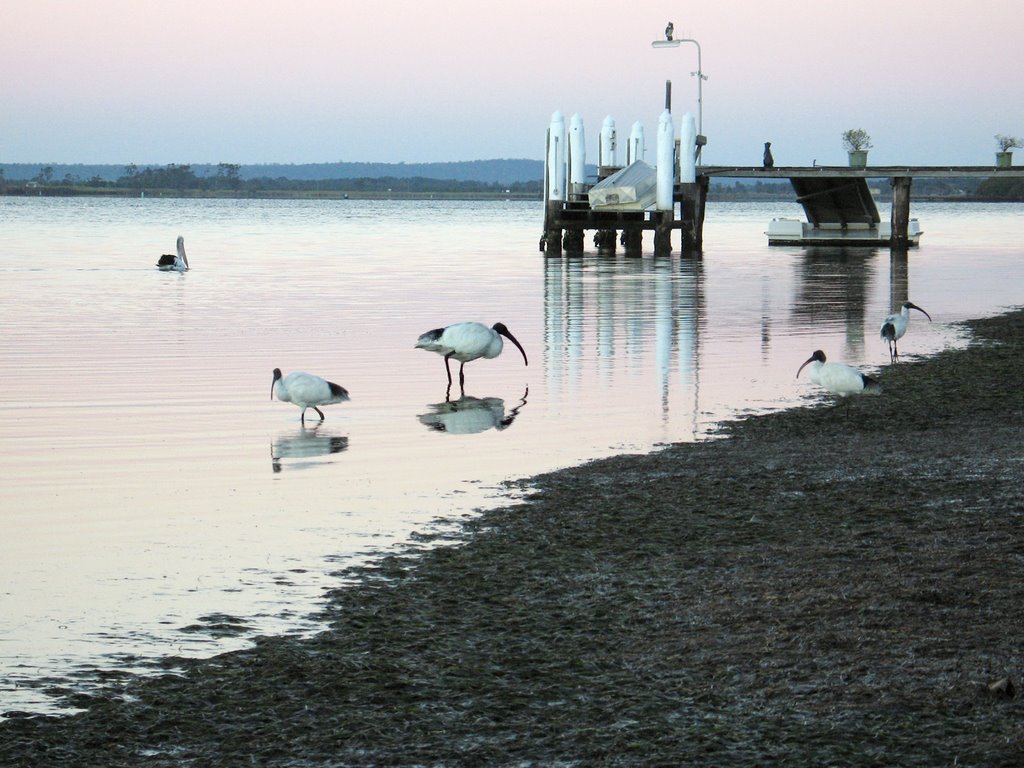
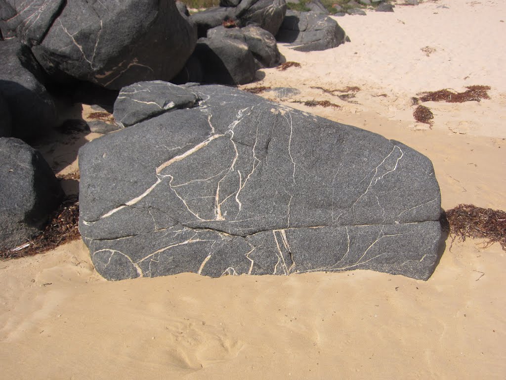
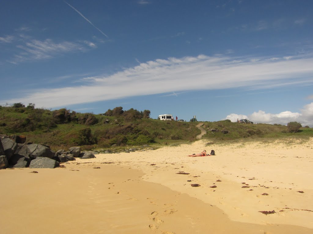
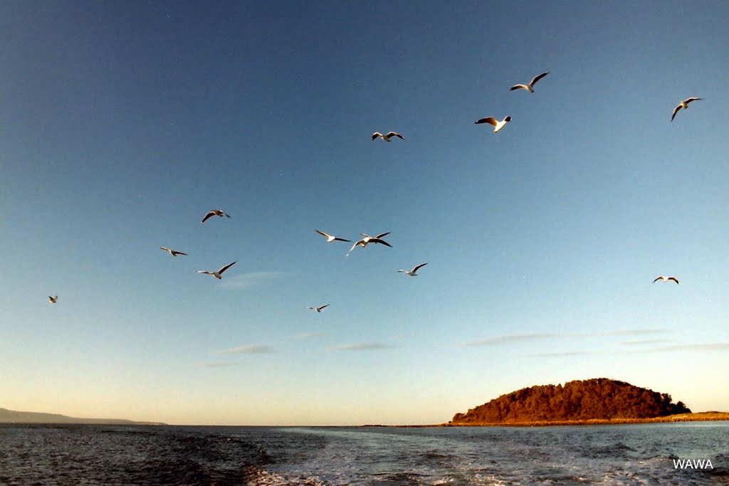
Photos of Coolangatta
Coolangatta Weather

Predicción: Overcast clouds
Temperatura: 19.1°
Humedad: 71%
Hora actual: 11:37 AM
Amanece: 06:24 AM
Anochece: 05:28 PM


