Distance between  Grenfell and
  Balranald
267.53 mi Straight Distance
305.62 mi Driving Distance
5 hours 1 mins Estimated Driving Time
The straight distance between Grenfell (New South Wales) and Balranald (New South Wales) is 267.53 mi, but the driving distance is 305.62 mi.
It takes 5 hours 15 mins to go from Grenfell to Balranald.
Driving directions from Grenfell to Balranald
Distance in kilometers
Straight distance: 430.46 km. Route distance: 491.75 km
Grenfell, Australia
Latitude: -33.8938 // Longitude: 148.161
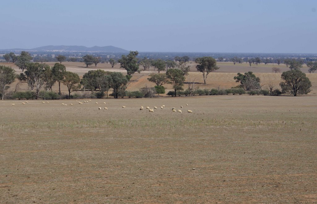
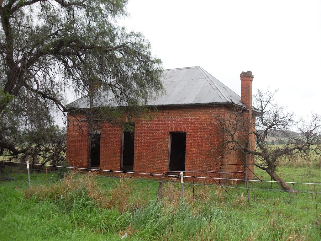
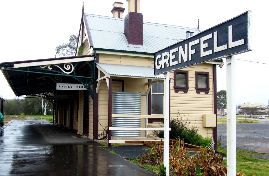
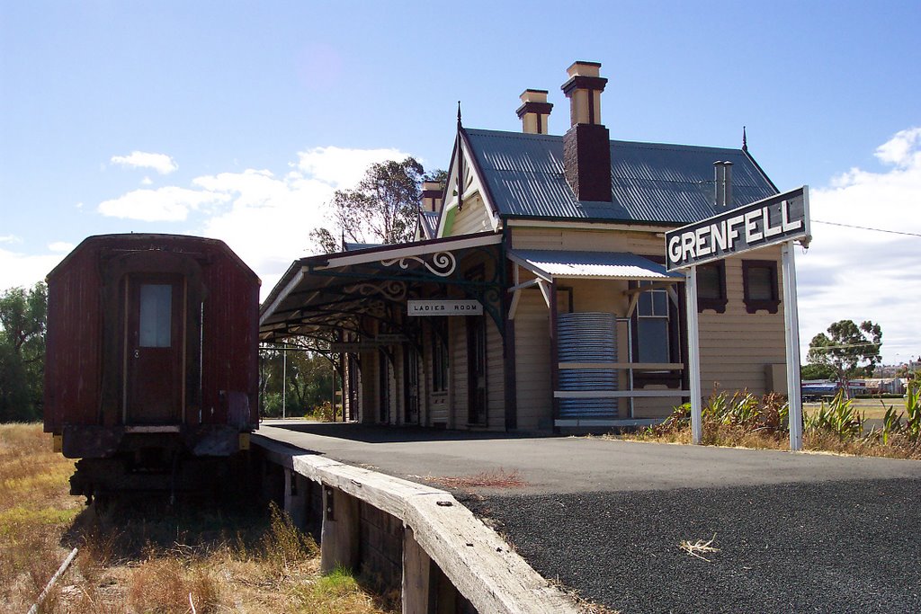
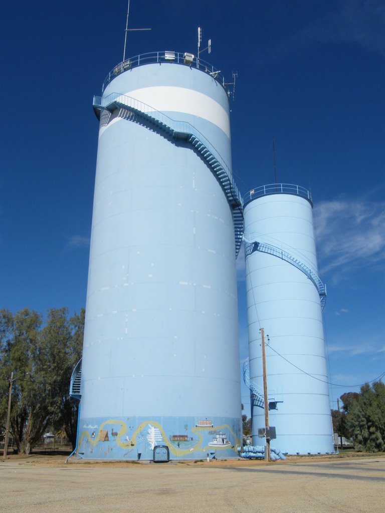
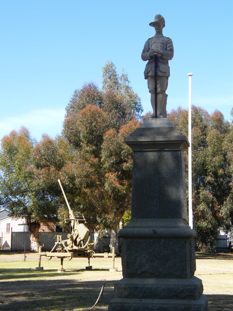
Photos of Grenfell
Grenfell Weather

Predicción: Scattered clouds
Temperatura: 5.9°
Humedad: 71%
Hora actual: 01:50 AM
Amanece: 06:33 AM
Anochece: 05:39 PM
Balranald, Australia
Latitude: -34.6395 // Longitude: 143.563
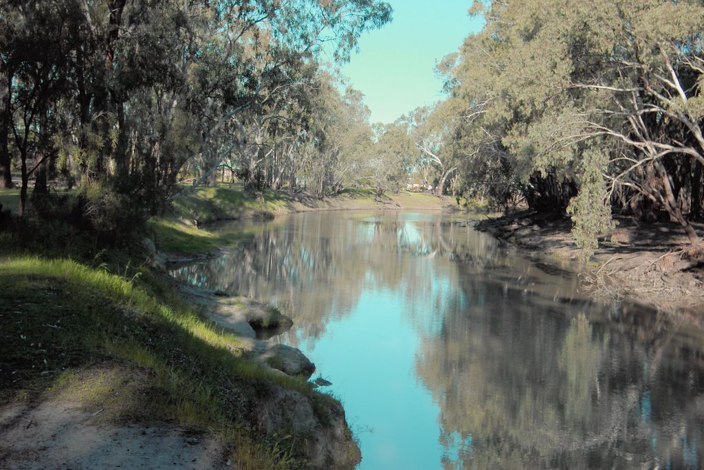
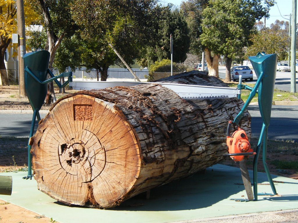
Photos of Balranald
Balranald Weather

Predicción: Overcast clouds
Temperatura: 14.4°
Humedad: 73%
Hora actual: 01:50 AM
Amanece: 06:52 AM
Anochece: 05:57 PM


