Distance between  Greenwell Point and
  Gobarralong
137.22 mi Straight Distance
183.88 mi Driving Distance
3 hours 33 mins Estimated Driving Time
The straight distance between Greenwell Point (New South Wales) and Gobarralong (New South Wales) is 137.22 mi, but the driving distance is 183.88 mi.
It takes to go from Greenwell Point to Gobarralong.
Driving directions from Greenwell Point to Gobarralong
Distance in kilometers
Straight distance: 220.79 km. Route distance: 295.87 km
Greenwell Point, Australia
Latitude: -34.9079 // Longitude: 150.731
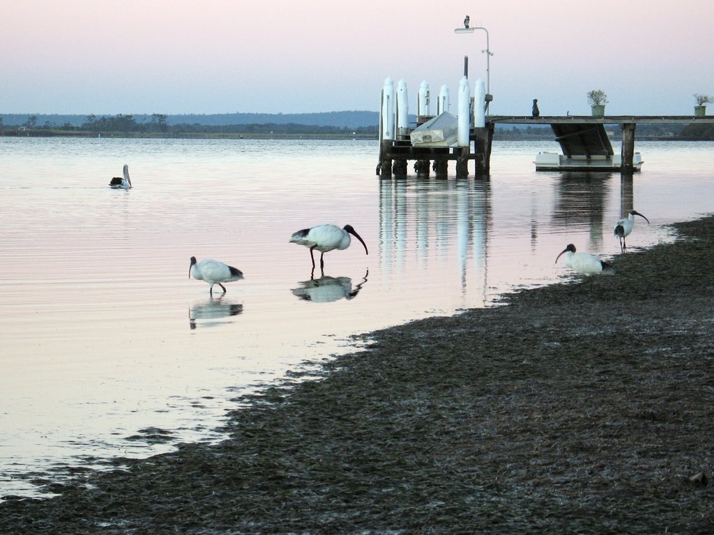
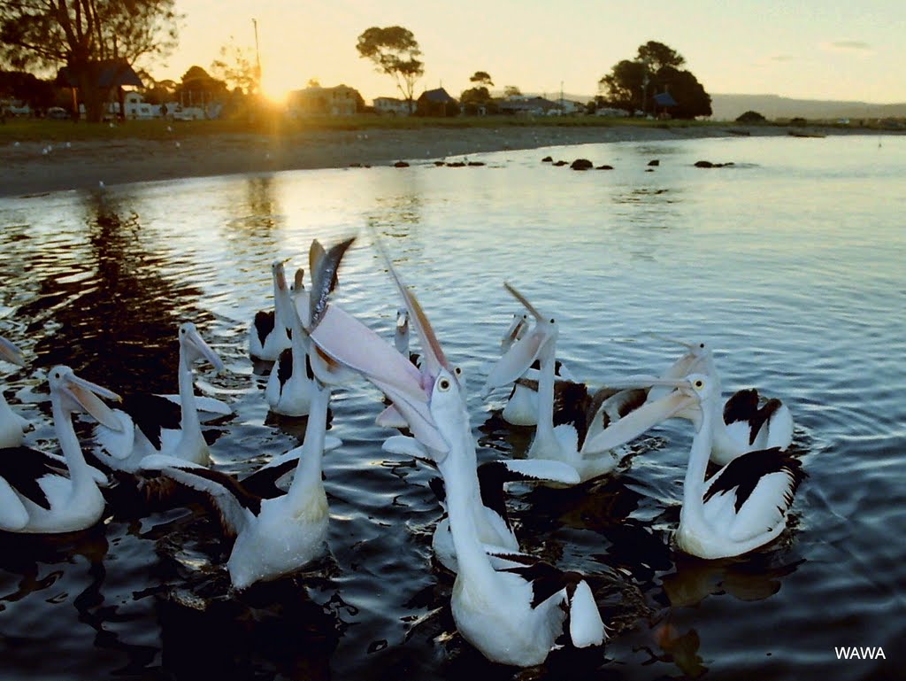
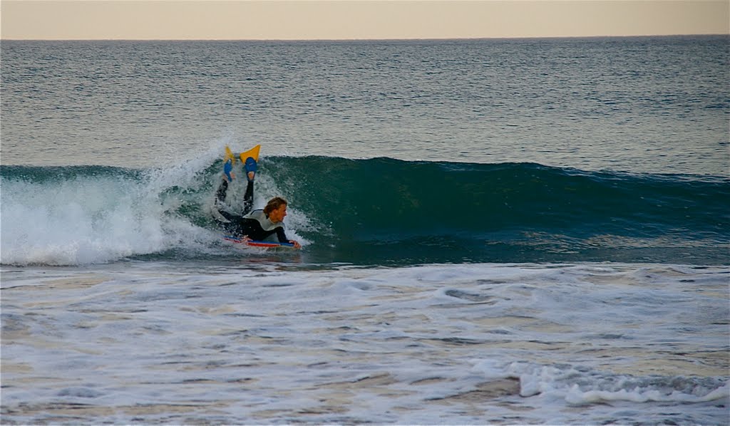
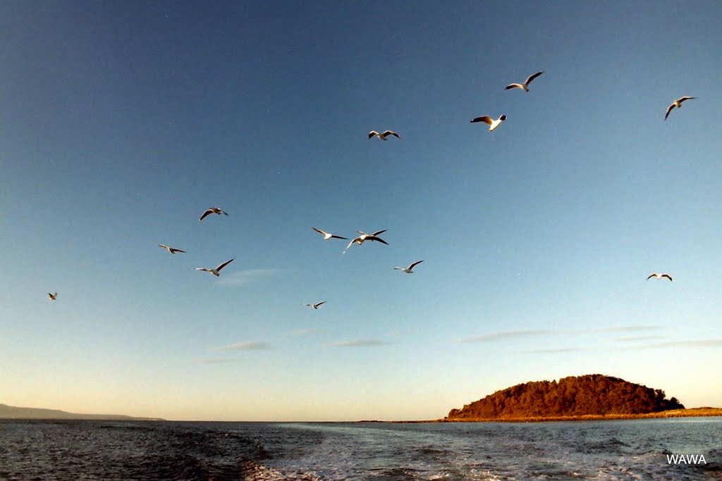
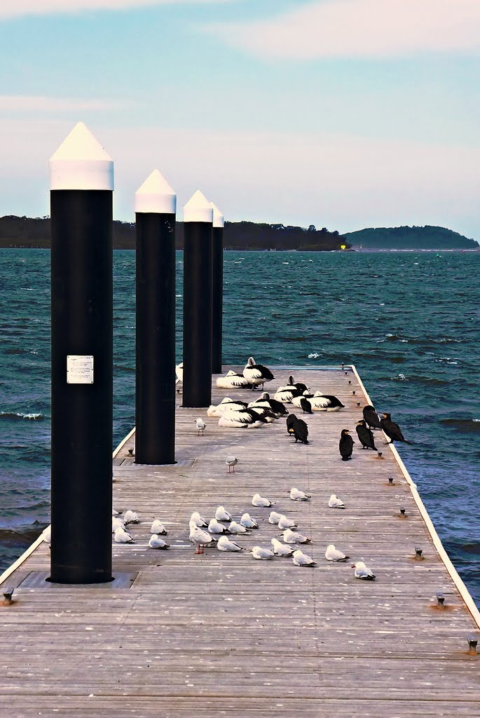
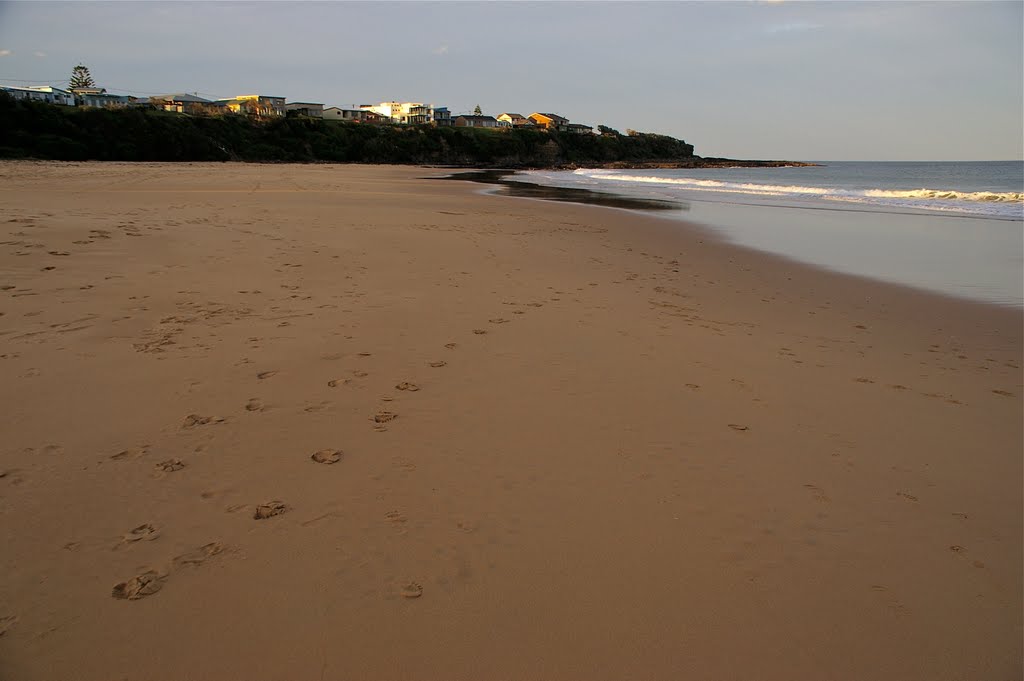
Photos of Greenwell Point
Greenwell Point Weather

Predicción: Few clouds
Temperatura: 17.0°
Humedad: 86%
Hora actual: 06:29 PM
Amanece: 06:23 AM
Anochece: 05:29 PM
Gobarralong, Australia
Latitude: -34.9245 // Longitude: 148.309
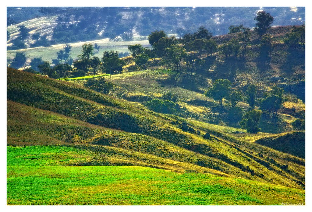
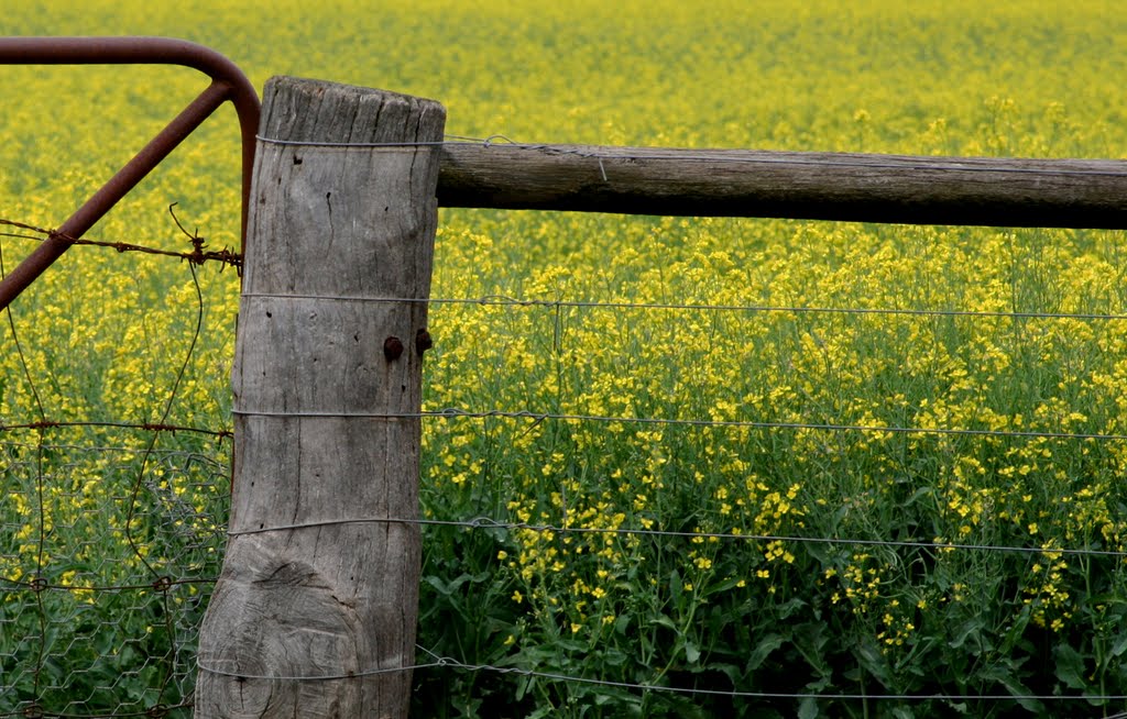
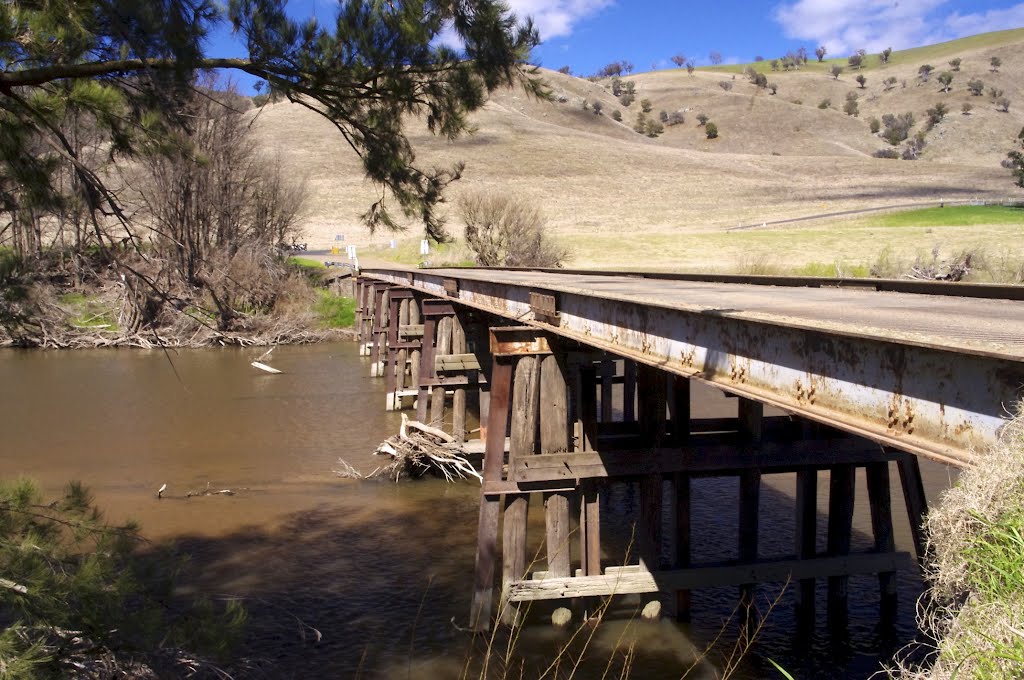
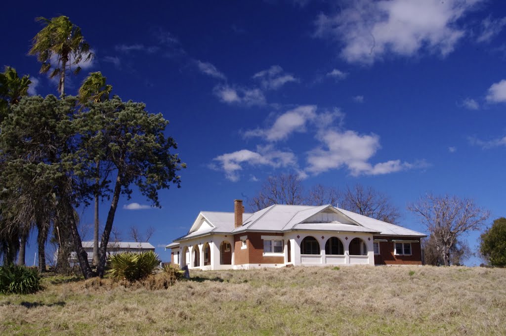
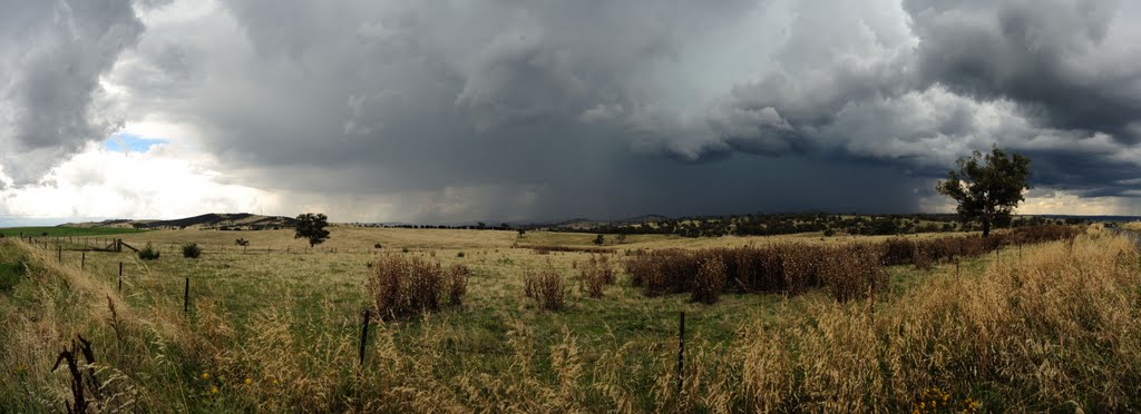
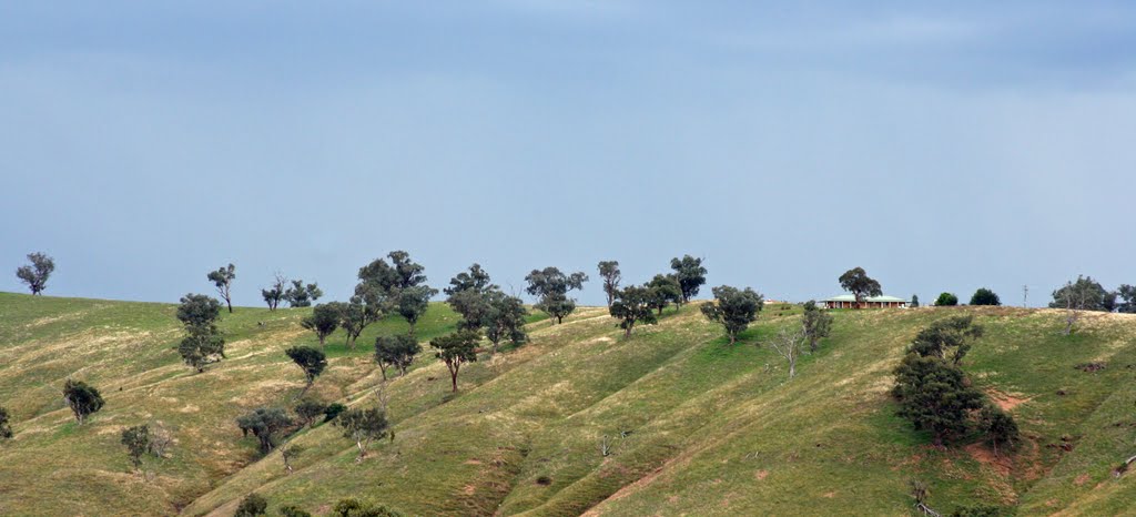
Photos of Gobarralong
Gobarralong Weather

Predicción: Clear sky
Temperatura: 13.6°
Humedad: 53%
Hora actual: 10:00 AM
Amanece: 06:32 AM
Anochece: 05:39 PM


