Distance between  Greenmount and
  Condamine
123.98 mi Straight Distance
149.74 mi Driving Distance
2 hours 36 mins Estimated Driving Time
The straight distance between Greenmount (Queensland) and Condamine (Queensland) is 123.98 mi, but the driving distance is 149.74 mi.
It takes to go from Greenmount to Condamine.
Driving directions from Greenmount to Condamine
Distance in kilometers
Straight distance: 199.48 km. Route distance: 240.93 km
Greenmount, Australia
Latitude: -27.7884 // Longitude: 151.904
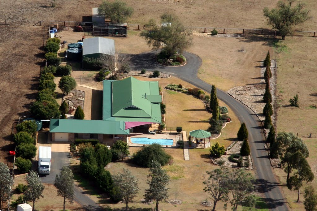
Photos of Greenmount
Greenmount Weather

Predicción: Overcast clouds
Temperatura: 23.3°
Humedad: 51%
Hora actual: 04:36 PM
Amanece: 06:10 AM
Anochece: 05:34 PM
Condamine, Australia
Latitude: -26.9265 // Longitude: 150.132
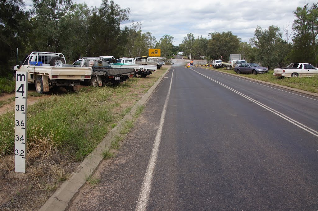
Photos of Condamine
Condamine Weather

Predicción: Scattered clouds
Temperatura: 26.6°
Humedad: 38%
Hora actual: 10:00 AM
Amanece: 06:16 AM
Anochece: 05:41 PM


