Distance between  Greenethorpe and
  Kingsthorpe
493.69 mi Straight Distance
603.53 mi Driving Distance
10 hours 34 mins Estimated Driving Time
The straight distance between Greenethorpe (New South Wales) and Kingsthorpe (Queensland) is 493.69 mi, but the driving distance is 603.53 mi.
It takes to go from Greenethorpe to Kingsthorpe.
Driving directions from Greenethorpe to Kingsthorpe
Distance in kilometers
Straight distance: 794.35 km. Route distance: 971.09 km
Greenethorpe, Australia
Latitude: -33.9951 // Longitude: 148.404
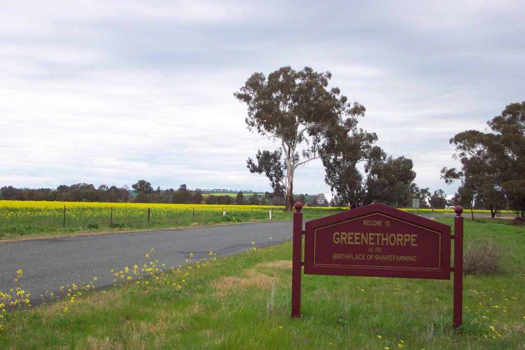
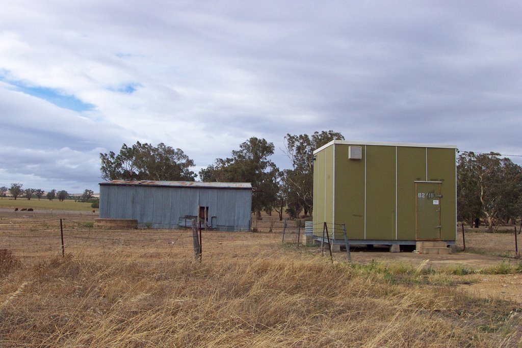
Photos of Greenethorpe
Greenethorpe Weather

Predicción: Clear sky
Temperatura: 10.6°
Humedad: 63%
Hora actual: 12:00 AM
Amanece: 08:30 PM
Anochece: 07:41 AM
Kingsthorpe, Australia
Latitude: -27.4771 // Longitude: 151.814
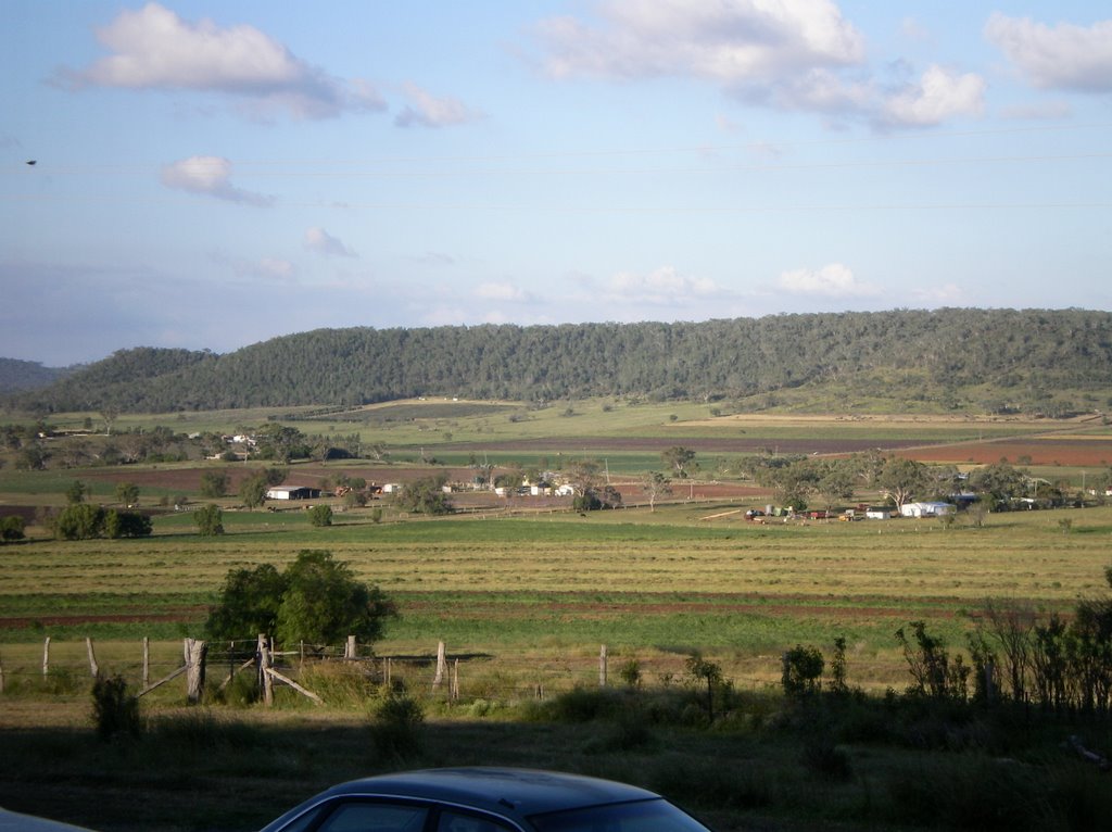
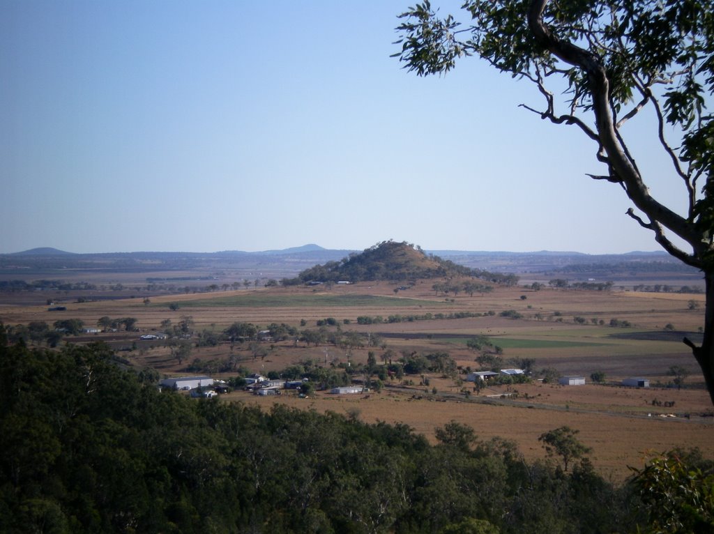
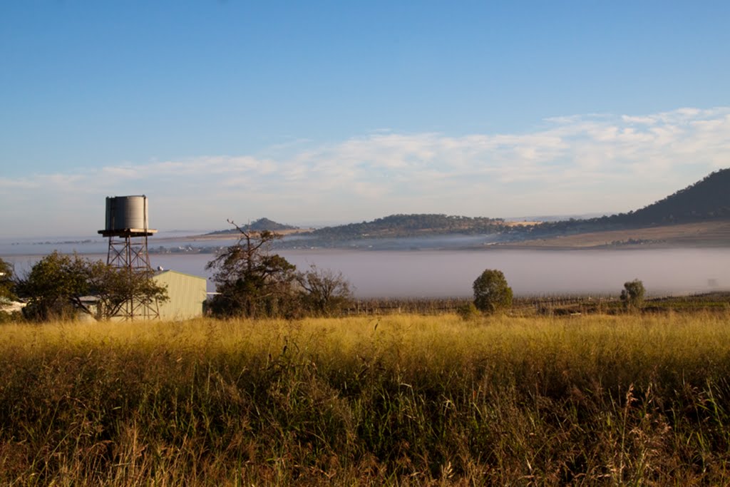
Photos of Kingsthorpe
Kingsthorpe Weather

Predicción: Clear sky
Temperatura: 17.1°
Humedad: 95%
Hora actual: 05:28 AM
Amanece: 06:10 AM
Anochece: 05:33 PM


