
Distance between  Gredgwin and
  Gannawarra
34.45 mi Straight Distance
54.68 mi Driving Distance
1 hour 8 mins Estimated Driving Time
The straight distance between Gredgwin (Victoria) and Gannawarra (Victoria) is 34.45 mi, but the driving distance is 54.68 mi.
It takes to go from Gredgwin to Gannawarra.
Driving directions from Gredgwin to Gannawarra
Distance in kilometers
Straight distance: 55.42 km. Route distance: 87.97 km
Gredgwin, Australia
Latitude: -35.9693 // Longitude: 143.619
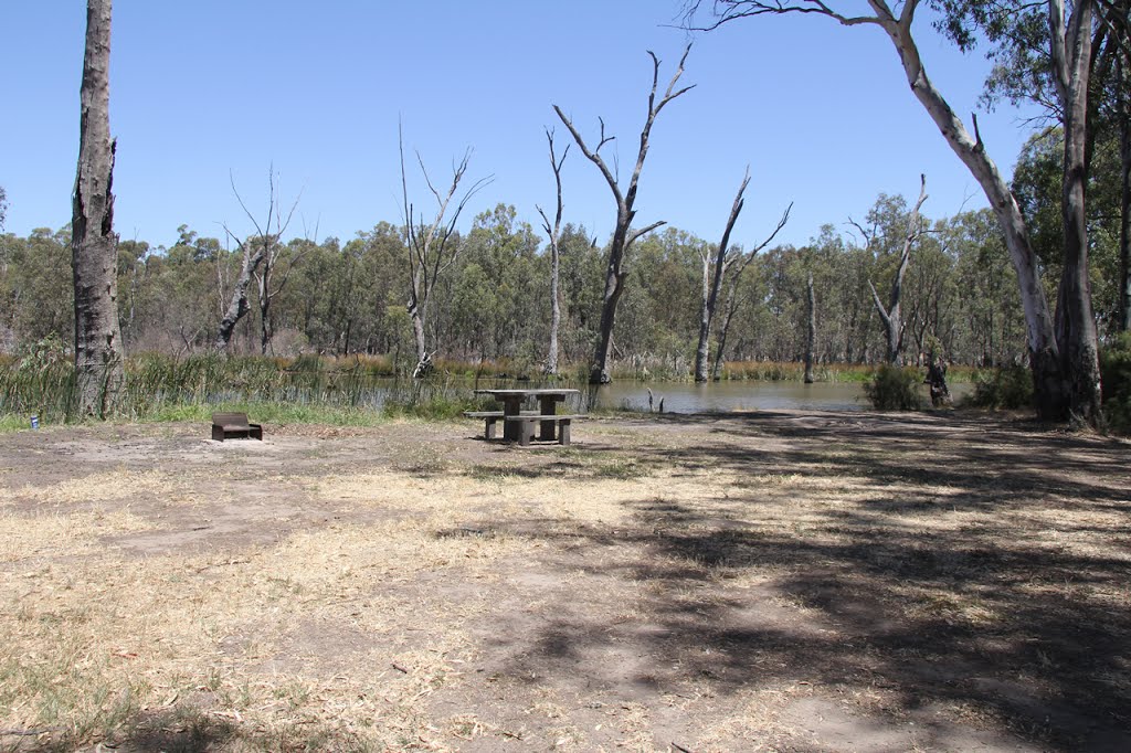
Photos of Gredgwin


")


Gredgwin Weather

Predicción: Broken clouds
Temperatura: 21.4°
Humedad: 37%
Hora actual: 12:00 AM
Amanece: 08:51 PM
Anochece: 07:58 AM
Gannawarra, Australia
Latitude: -35.7336 // Longitude: 144.161
Photos of Gannawarra


Gannawarra Weather
Predicción: Broken clouds
Temperatura: 22.0°
Humedad: 37%
Hora actual: 12:00 AM
Amanece: 08:49 PM
Anochece: 07:56 AM


