Distance between  Great Keppel Island and
  Mukinbudin
2,076.94 mi Straight Distance
2,612.32 mi Driving Distance
1 day 18 hours Estimated Driving Time
The straight distance between Great Keppel Island (Queensland) and Mukinbudin (Western Australia) is 2,076.94 mi, but the driving distance is 2,612.32 mi.
It takes to go from Great Keppel Island to Mukinbudin.
Driving directions from Great Keppel Island to Mukinbudin
Distance in kilometers
Straight distance: 3,341.79 km. Route distance: 4,203.21 km
Great Keppel Island, Australia
Latitude: -23.175 // Longitude: 150.961
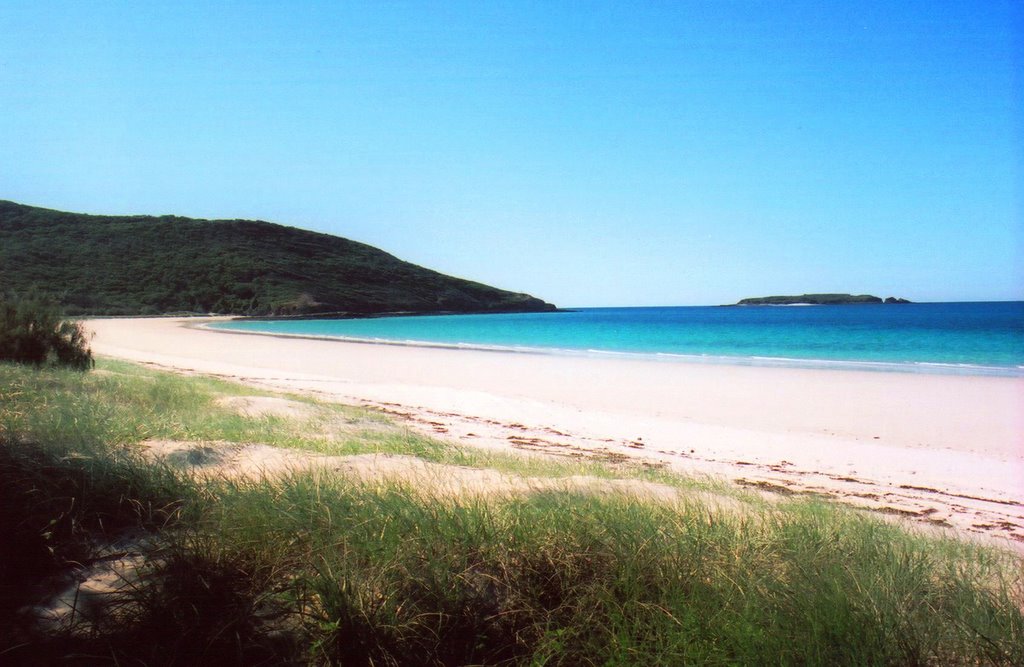
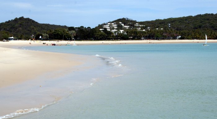
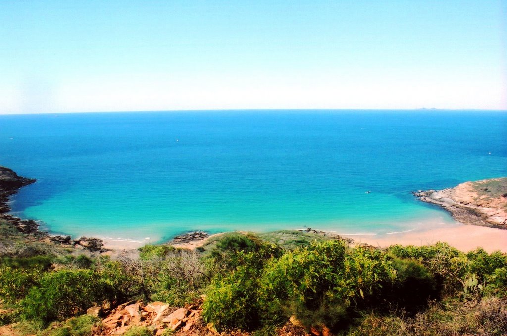
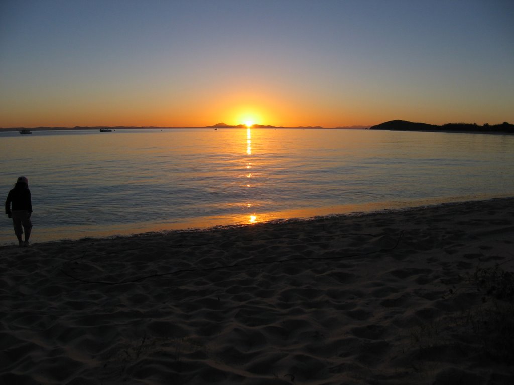
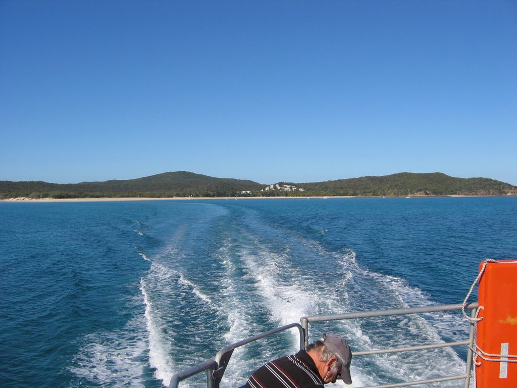
Photos of Great Keppel Island
Great Keppel Island Weather

Predicción: Broken clouds
Temperatura: 24.5°
Humedad: 79%
Hora actual: 11:45 PM
Amanece: 06:10 AM
Anochece: 05:40 PM
Mukinbudin, Australia
Latitude: -30.9145 // Longitude: 118.209
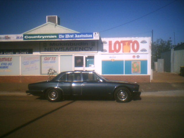
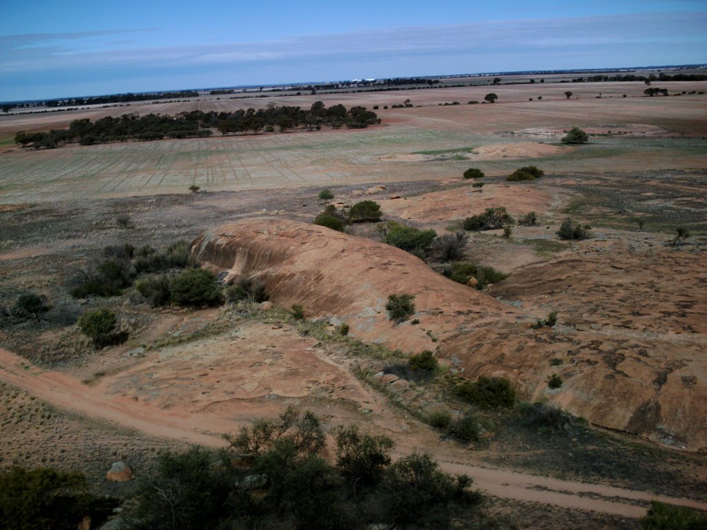
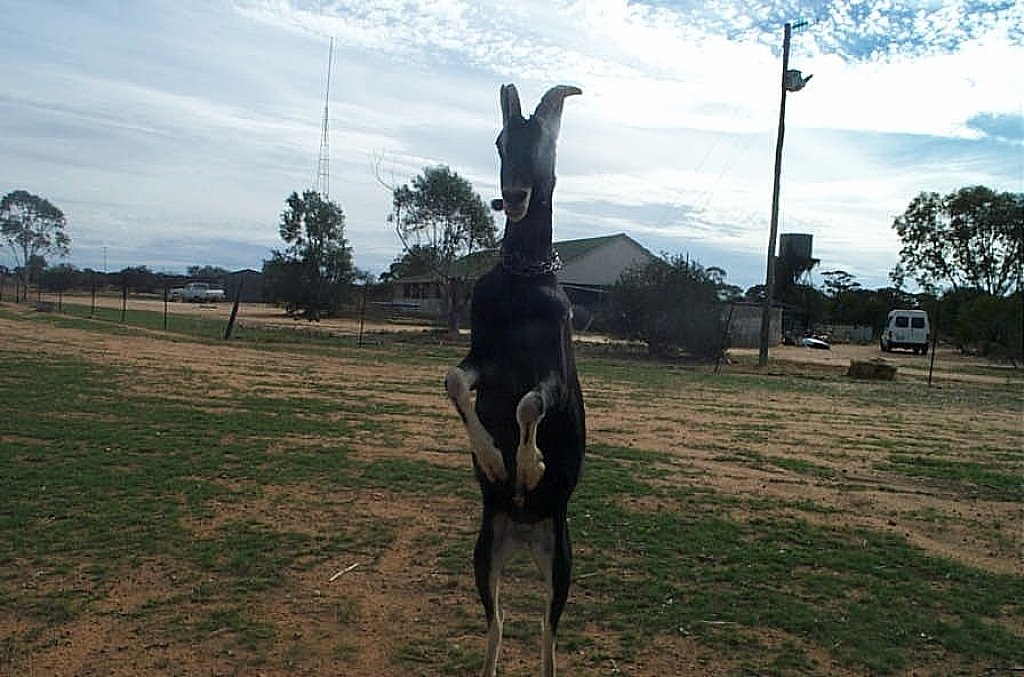
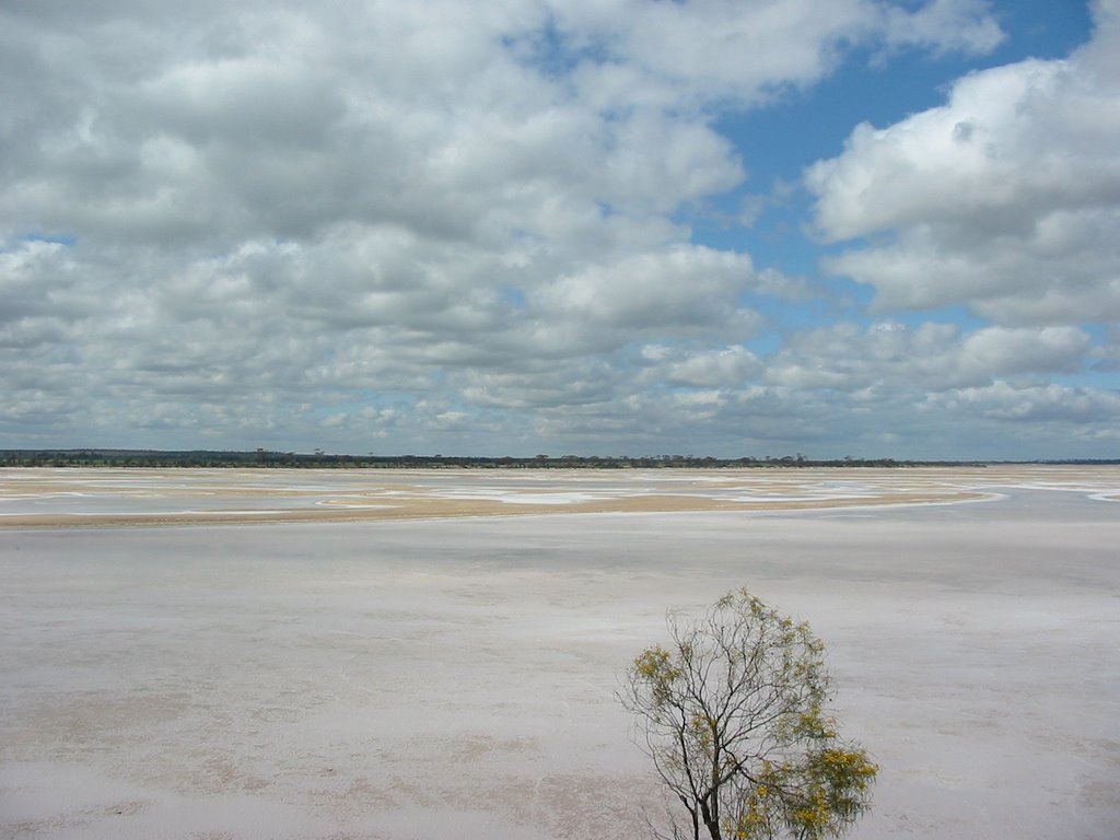
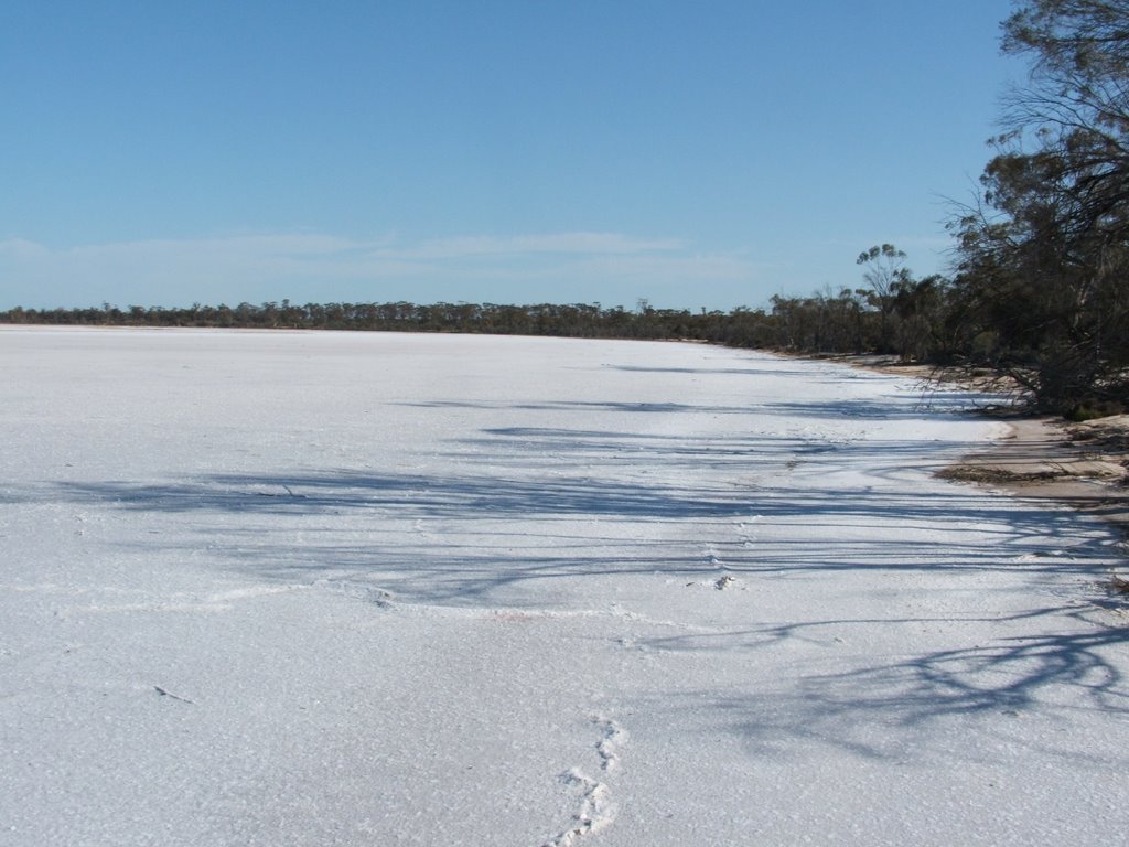
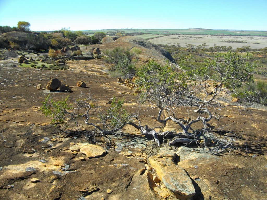
Photos of Mukinbudin
Mukinbudin Weather

Predicción: Clear sky
Temperatura: 19.2°
Humedad: 34%
Hora actual: 10:00 AM
Amanece: 08:29 AM
Anochece: 07:43 PM


