Distance between  Great Bay and
  Bailieston
465.65 mi Straight Distance
575.20 mi Driving Distance
14 hours 58 mins Estimated Driving Time
The straight distance between Great Bay (Tasmania) and Bailieston (Victoria) is 465.65 mi, but the driving distance is 575.20 mi.
It takes to go from Great Bay to Bailieston.
Driving directions from Great Bay to Bailieston
Distance in kilometers
Straight distance: 749.23 km. Route distance: 925.50 km
Great Bay, Australia
Latitude: -43.2342 // Longitude: 147.374
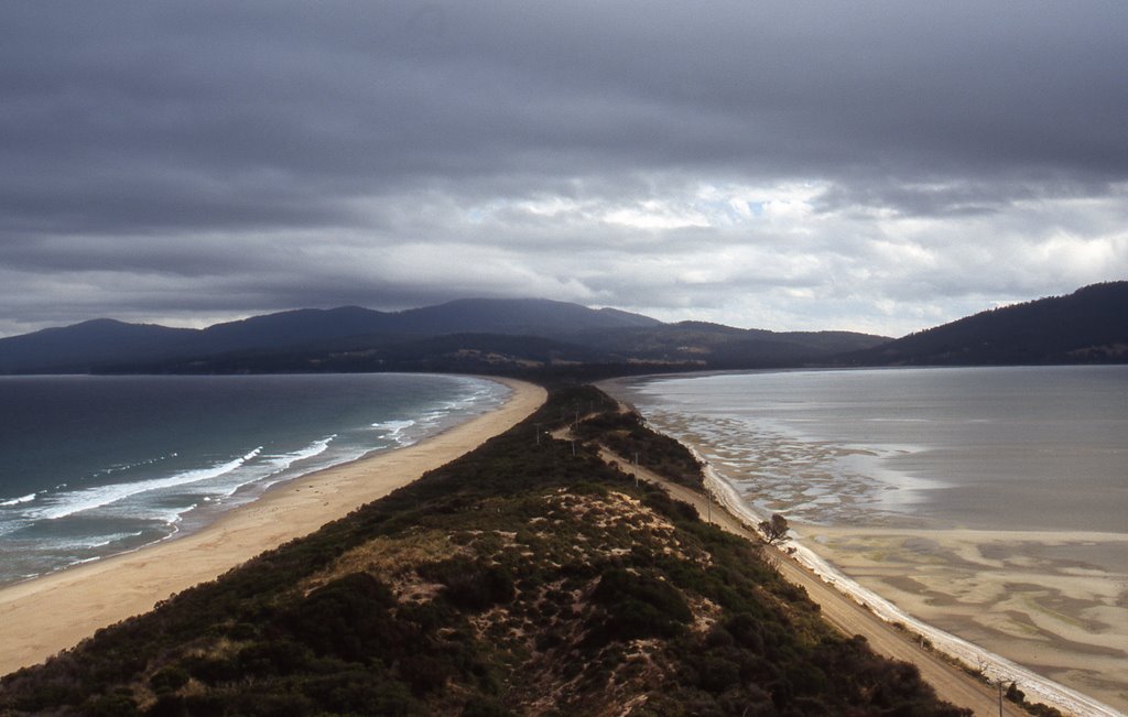
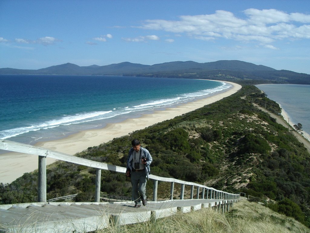
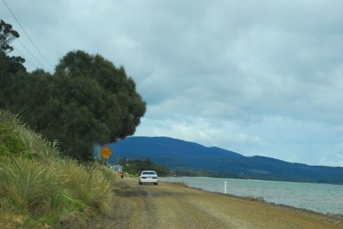
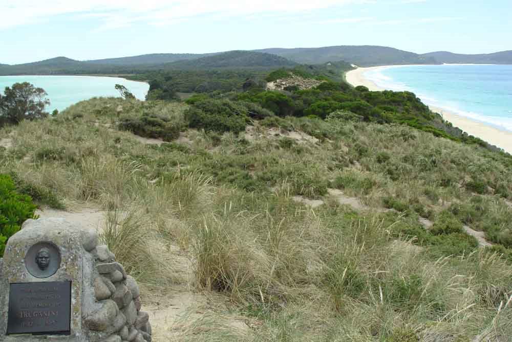
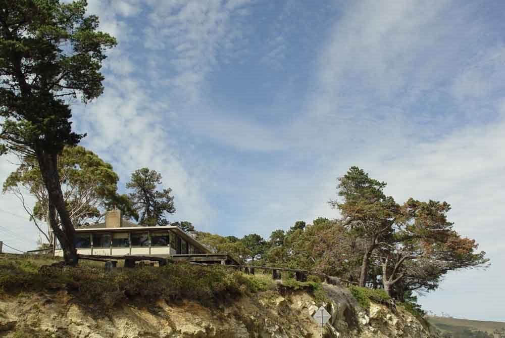
Photos of Great Bay
Great Bay Weather

Predicción: Overcast clouds
Temperatura: 11.2°
Humedad: 67%
Hora actual: 12:00 AM
Amanece: 08:47 PM
Anochece: 07:31 AM
Bailieston, Australia
Latitude: -36.7349 // Longitude: 145.043
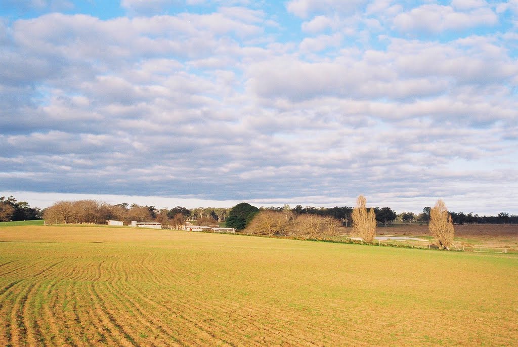
Photos of Bailieston
Bailieston Weather

Predicción: Overcast clouds
Temperatura: 11.7°
Humedad: 87%
Hora actual: 12:00 AM
Amanece: 08:48 PM
Anochece: 07:49 AM


