Distance between  Grantham and
  Popanyinning
2,116.02 mi Straight Distance
2,441.54 mi Driving Distance
1 day 14 hours Estimated Driving Time
The straight distance between Grantham (Queensland) and Popanyinning (Western Australia) is 2,116.02 mi, but the driving distance is 2,441.54 mi.
It takes to go from Grantham to Popanyinning.
Driving directions from Grantham to Popanyinning
Distance in kilometers
Straight distance: 3,404.68 km. Route distance: 3,928.44 km
Grantham, Australia
Latitude: -27.5775 // Longitude: 152.203
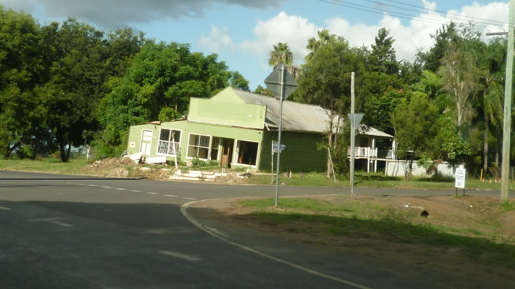
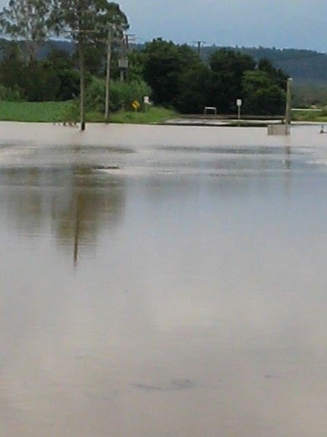
Photos of Grantham
Grantham Weather

Predicción: Clear sky
Temperatura: 20.8°
Humedad: 79%
Hora actual: 08:17 AM
Amanece: 06:09 AM
Anochece: 05:32 PM
Popanyinning, Australia
Latitude: -32.6611 // Longitude: 117.123
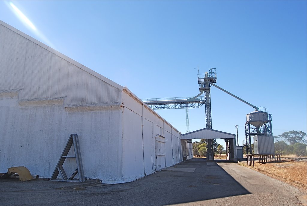
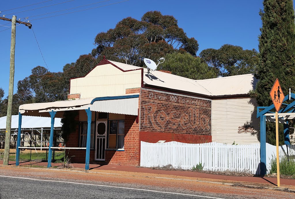
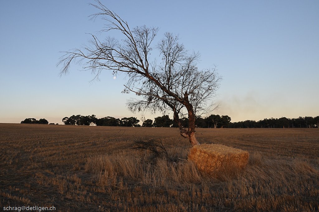
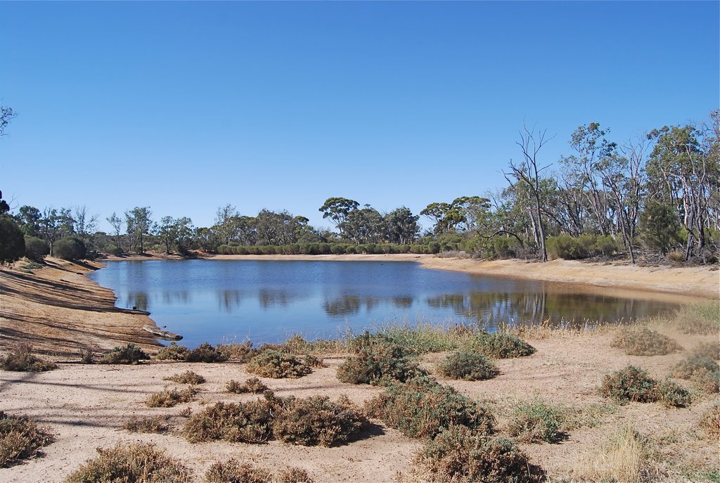
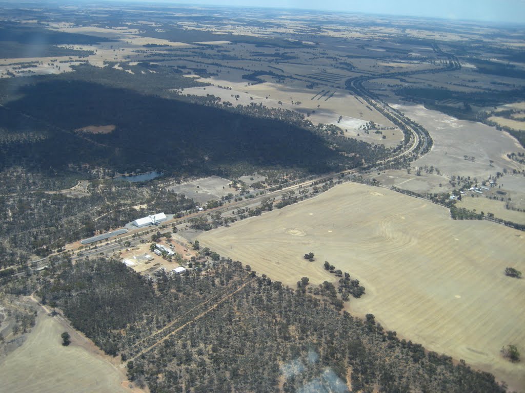
Photos of Popanyinning
Popanyinning Weather

Predicción: Clear sky
Temperatura: 13.9°
Humedad: 80%
Hora actual: 10:00 AM
Amanece: 08:34 AM
Anochece: 07:47 PM


