Distance between  Grampians and
  Womboota
158.07 mi Straight Distance
237.84 mi Driving Distance
5 hours 7 mins Estimated Driving Time
The straight distance between Grampians (Victoria) and Womboota (New South Wales) is 158.07 mi, but the driving distance is 237.84 mi.
It takes to go from Grampians to Womboota.
Driving directions from Grampians to Womboota
Distance in kilometers
Straight distance: 254.33 km. Route distance: 382.68 km
Grampians, Australia
Latitude: -37.3287 // Longitude: 142.36
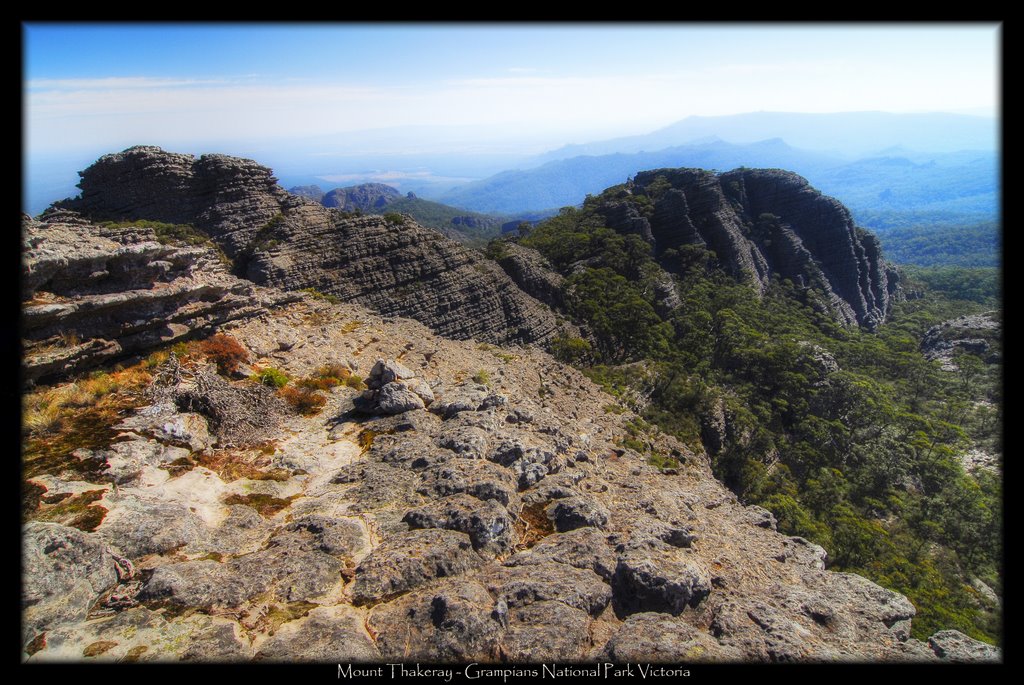
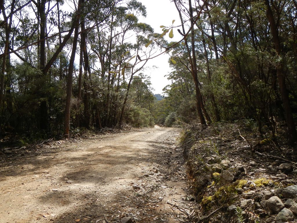
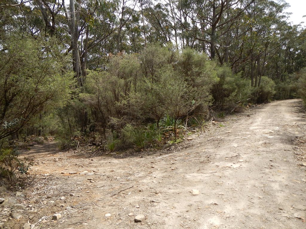
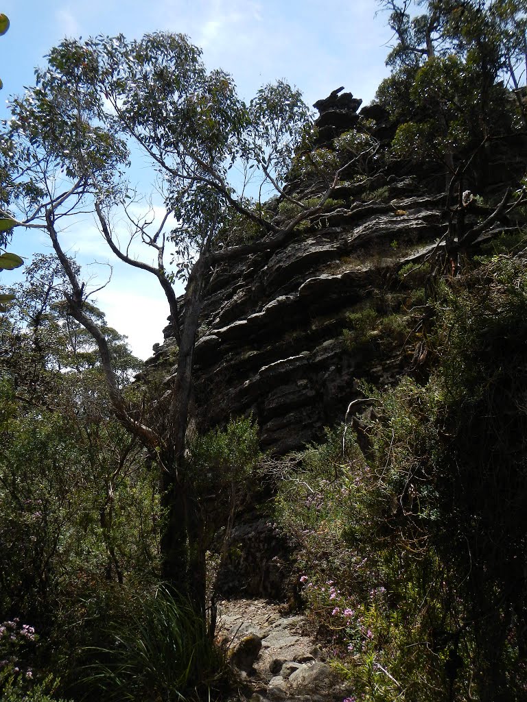
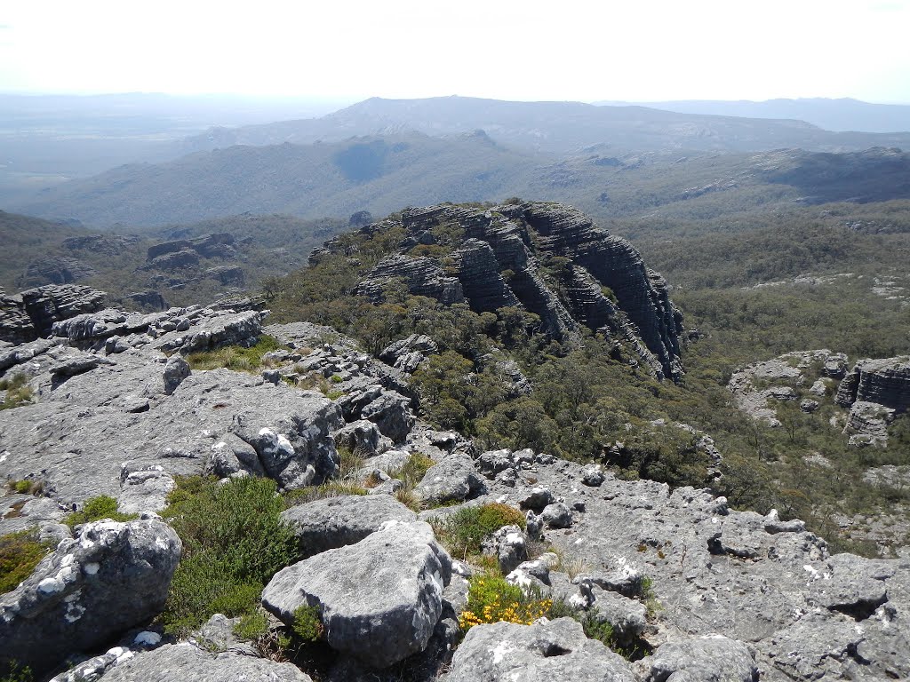
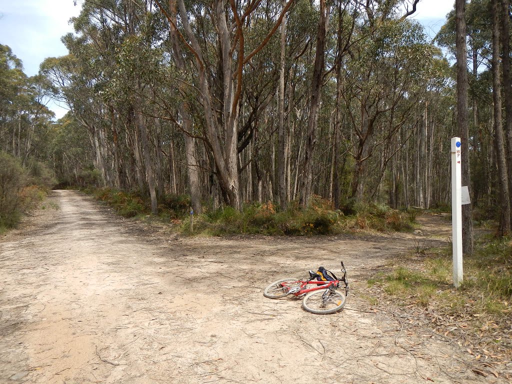
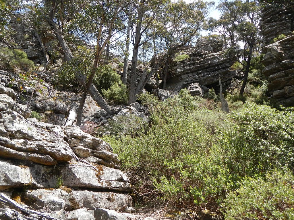
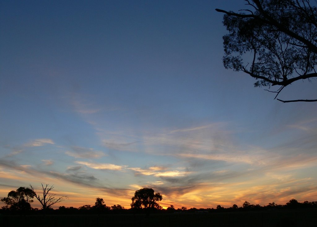
Photos of Grampians
Grampians Weather

Predicción: Light rain
Temperatura: 11.5°
Humedad: 79%
Hora actual: 12:00 AM
Amanece: 08:58 PM
Anochece: 08:02 AM
Womboota, Australia
Latitude: -35.9137 // Longitude: 144.6
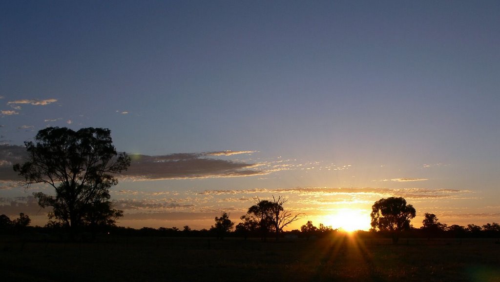
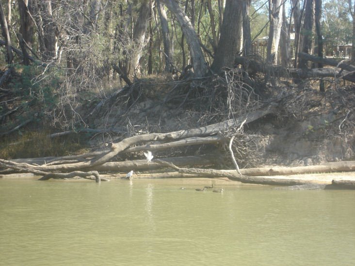
Photos of Womboota
Womboota Weather

Predicción: Broken clouds
Temperatura: 15.6°
Humedad: 57%
Hora actual: 12:00 AM
Amanece: 08:47 PM
Anochece: 07:54 AM


