Distance between  Goulburn Weir and
  Tungamah
55.28 mi Straight Distance
73.75 mi Driving Distance
1 hour 29 mins Estimated Driving Time
The straight distance between Goulburn Weir (Victoria) and Tungamah (Victoria) is 55.28 mi, but the driving distance is 73.75 mi.
It takes to go from Goulburn Weir to Tungamah.
Driving directions from Goulburn Weir to Tungamah
Distance in kilometers
Straight distance: 88.95 km. Route distance: 118.67 km
Goulburn Weir, Australia
Latitude: -36.7229 // Longitude: 145.166
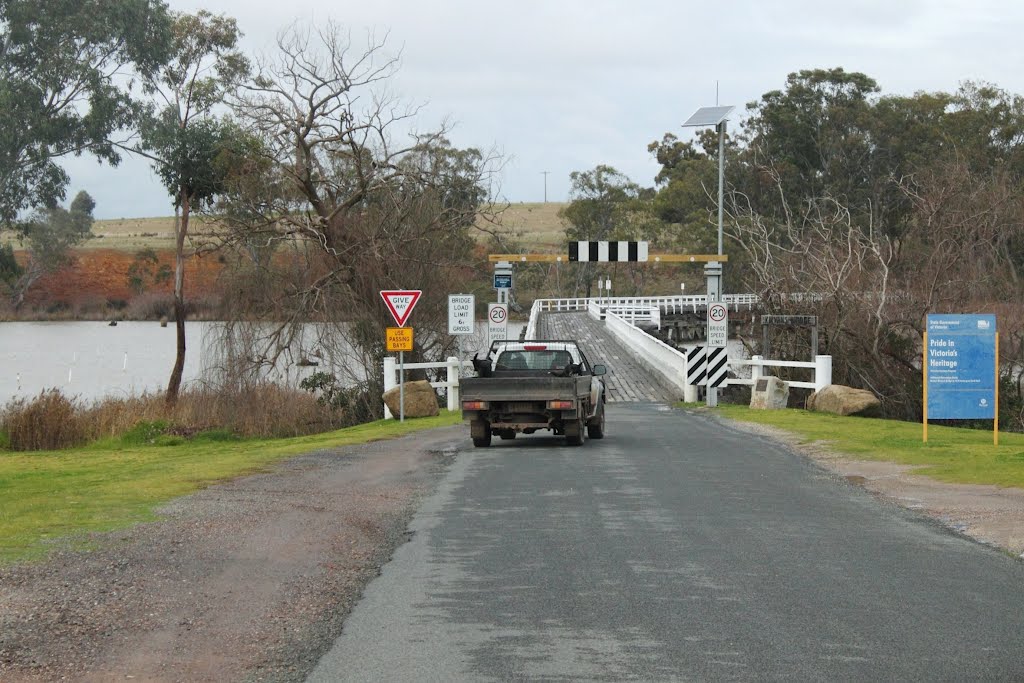
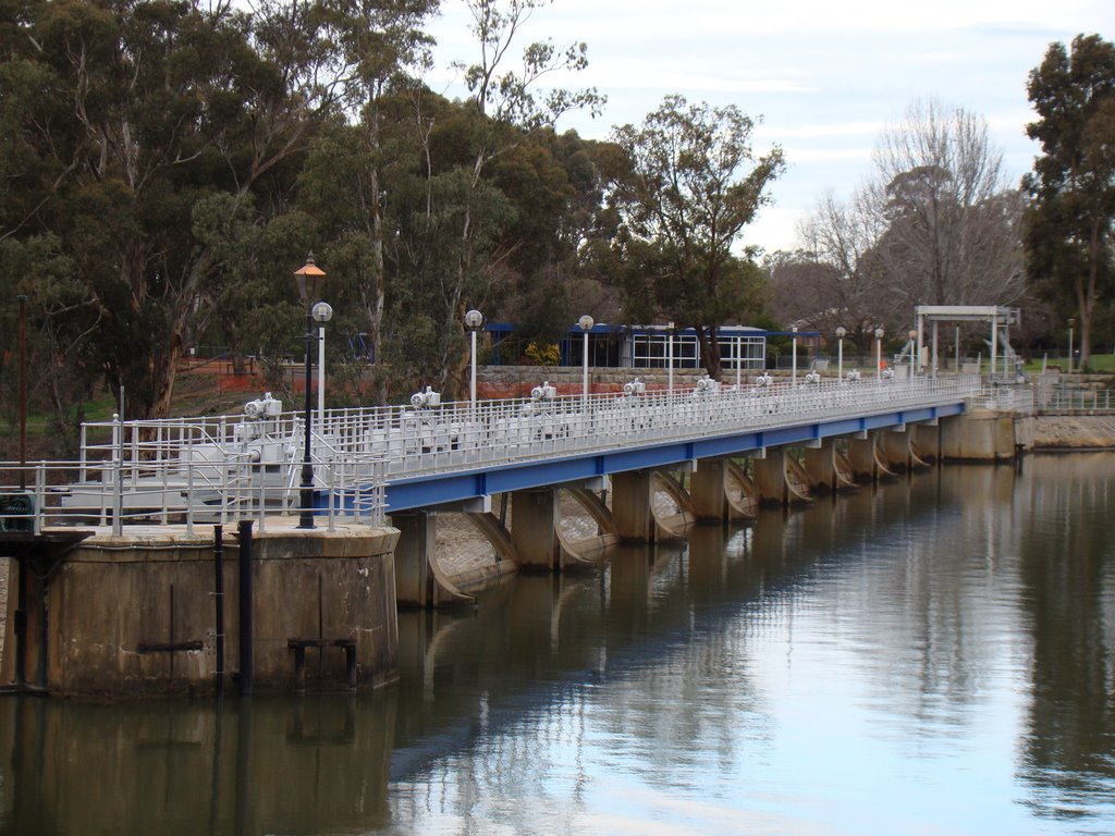
Photos of Goulburn Weir
Goulburn Weir Weather

Predicción: Overcast clouds
Temperatura: 10.0°
Humedad: 87%
Hora actual: 05:42 AM
Amanece: 06:46 AM
Anochece: 05:50 PM
Tungamah, Australia
Latitude: -36.1642 // Longitude: 145.878
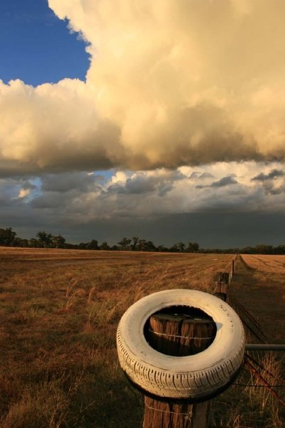
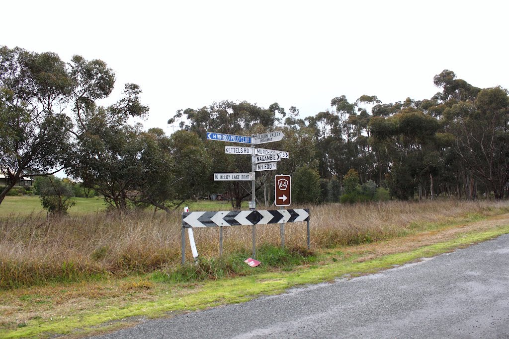
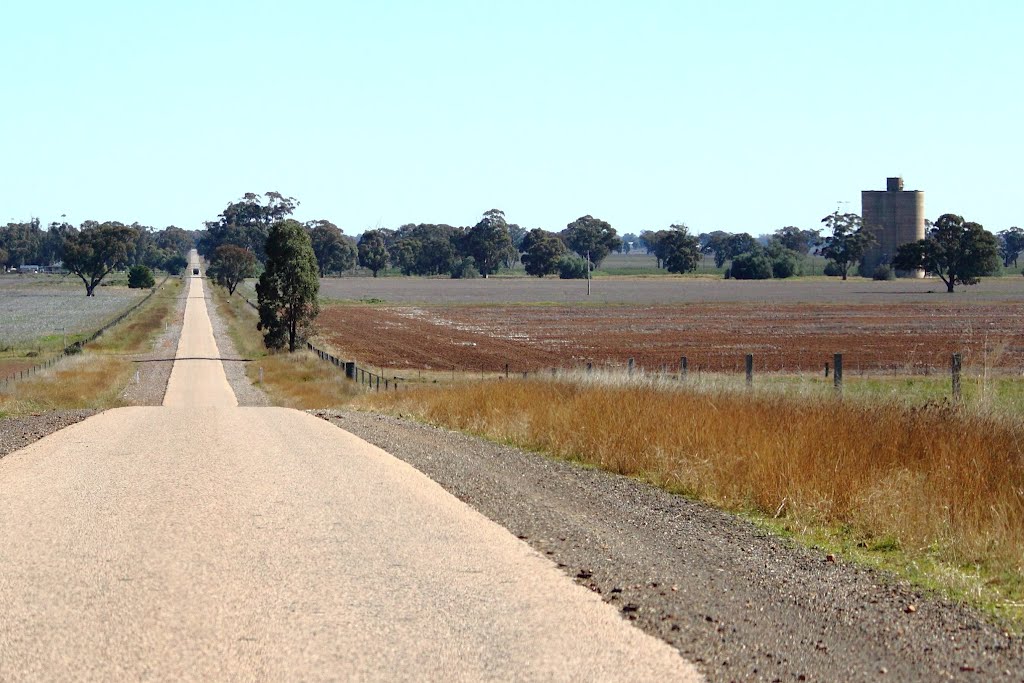
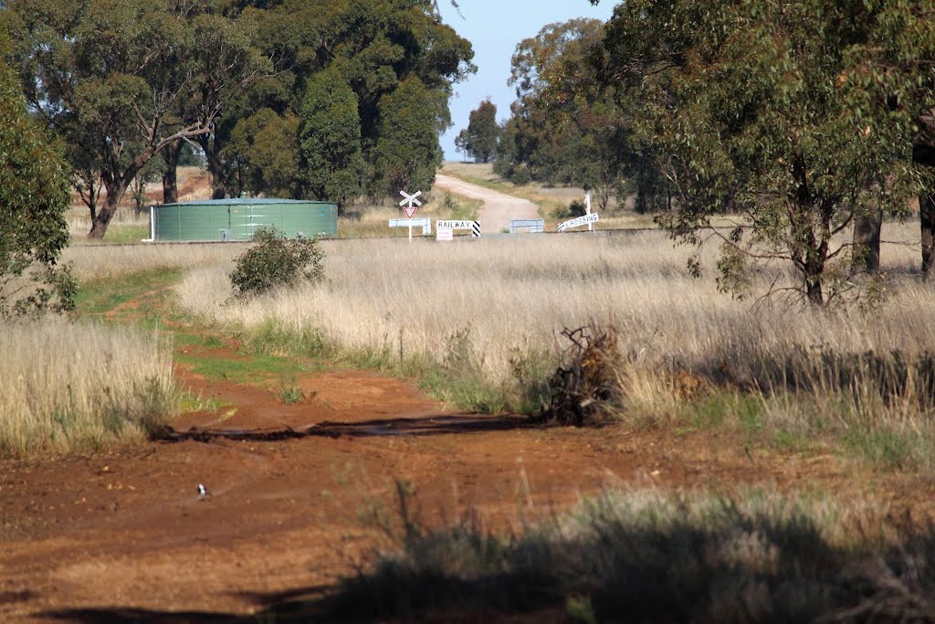
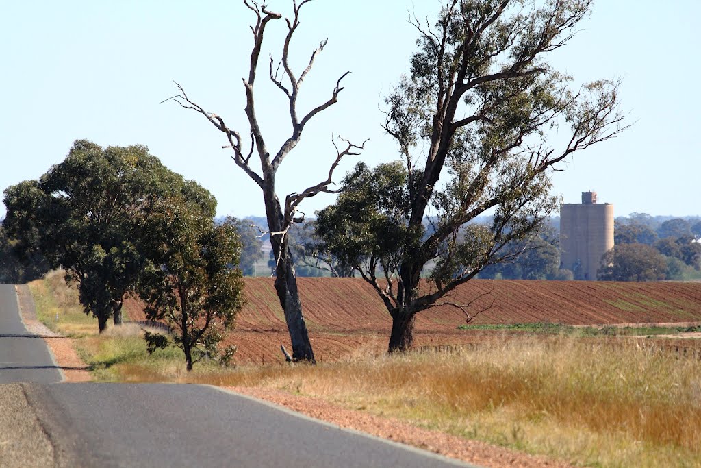
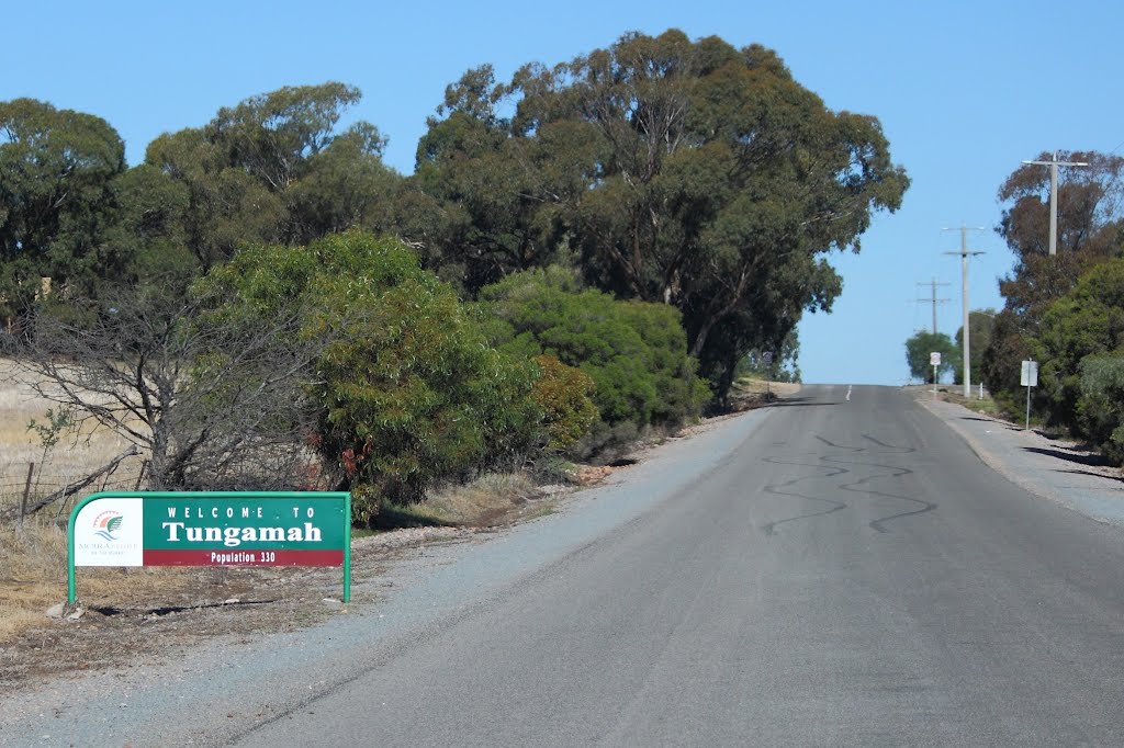
Photos of Tungamah
Tungamah Weather

Predicción: Broken clouds
Temperatura: 10.6°
Humedad: 78%
Hora actual: 10:00 AM
Amanece: 06:43 AM
Anochece: 05:48 PM


