Distance between  Goulburn and
  Cumnock
138.02 mi Straight Distance
172.34 mi Driving Distance
3 hours 2 mins Estimated Driving Time
The straight distance between Goulburn (New South Wales) and Cumnock (New South Wales) is 138.02 mi, but the driving distance is 172.34 mi.
It takes 4 hours 0 mins to go from Goulburn to Cumnock.
Driving directions from Goulburn to Cumnock
Distance in kilometers
Straight distance: 222.07 km. Route distance: 277.30 km
Goulburn, Australia
Latitude: -34.7548 // Longitude: 149.719
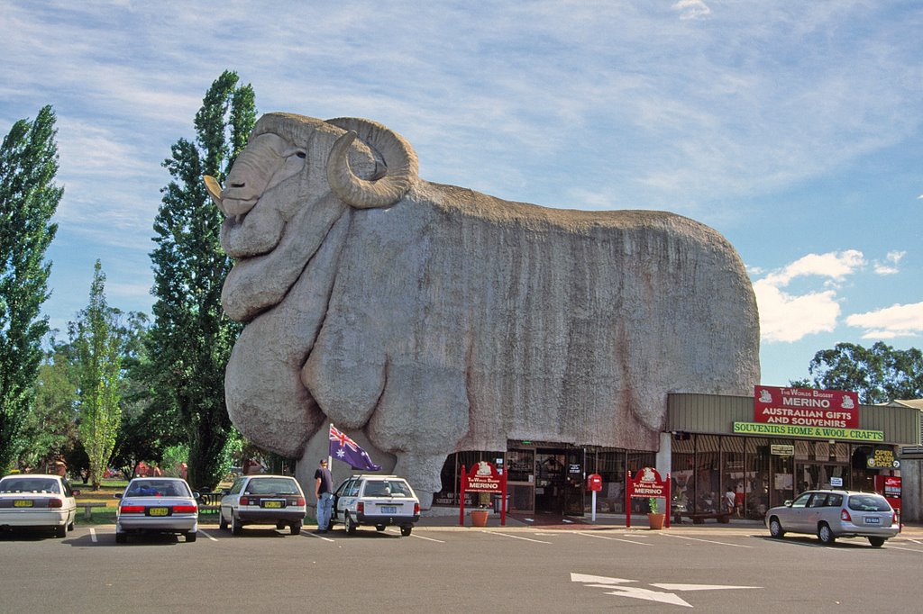
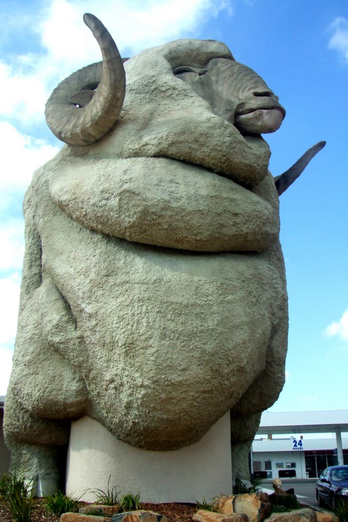
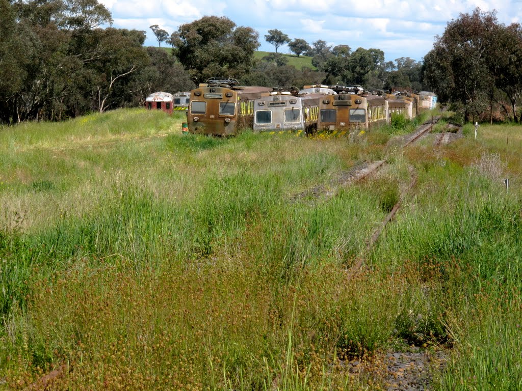
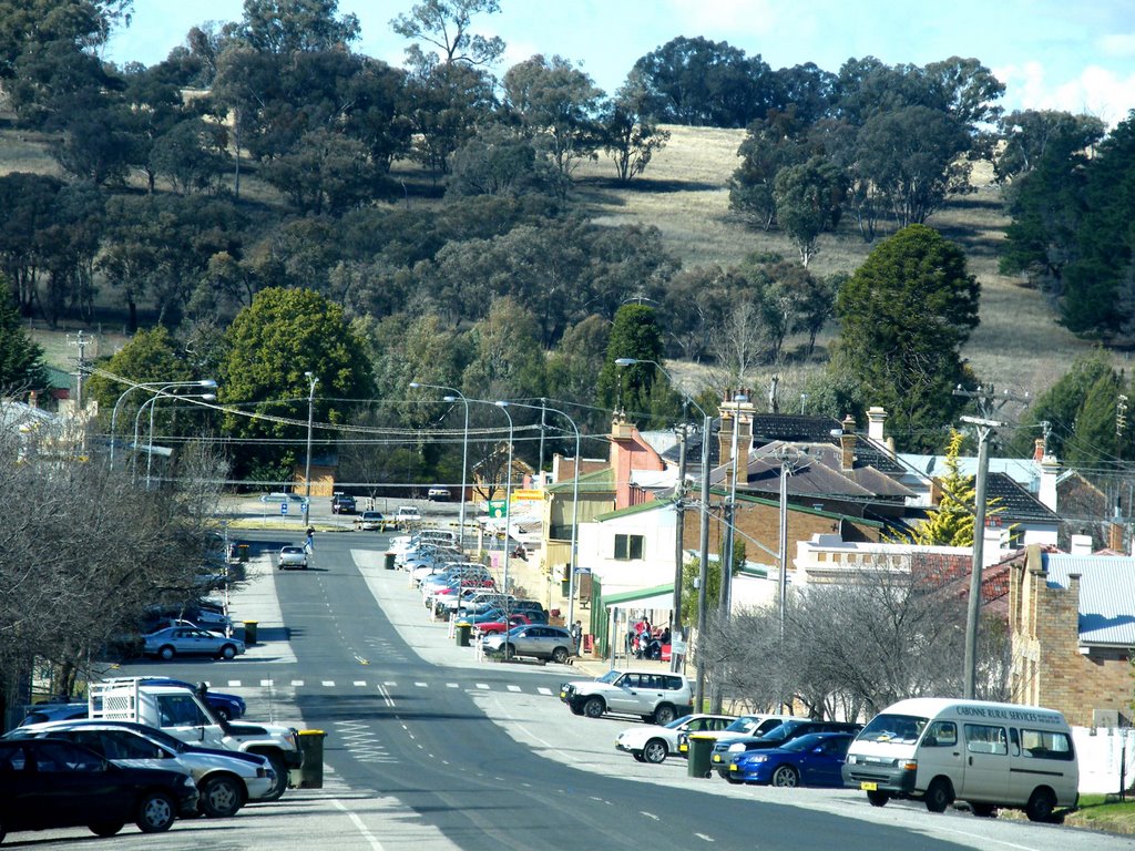
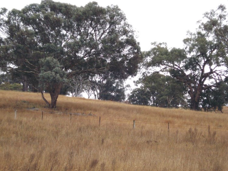
Photos of Goulburn
Goulburn Weather

Predicción: Overcast clouds
Temperatura: 9.4°
Humedad: 84%
Hora actual: 09:28 AM
Amanece: 06:27 AM
Anochece: 05:32 PM
Cumnock, Australia
Latitude: -32.9247 // Longitude: 148.755
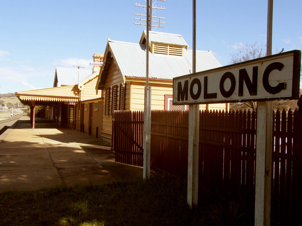
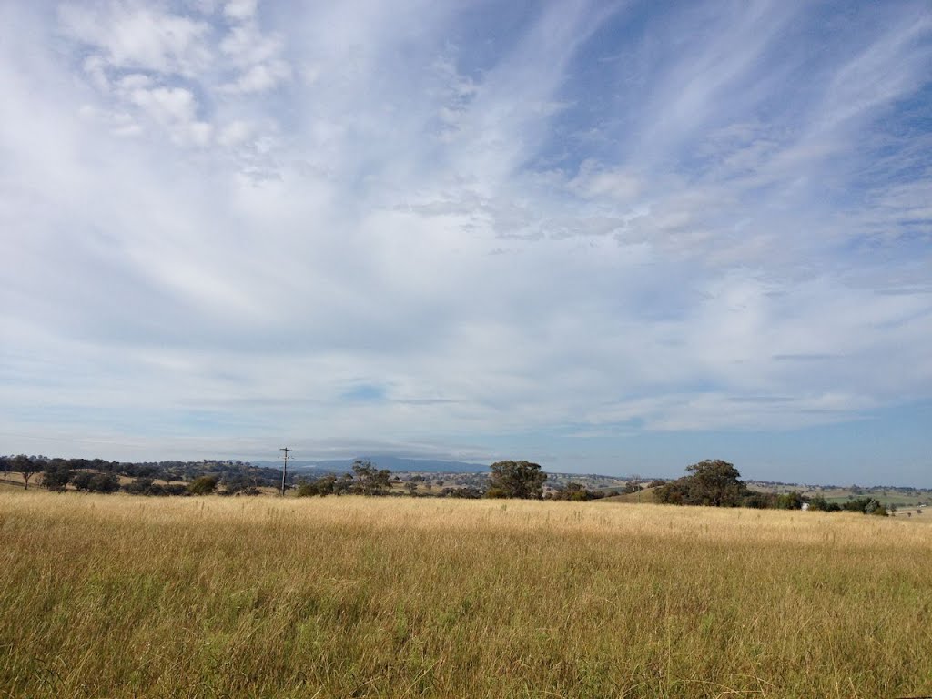
Photos of Cumnock
Cumnock Weather

Predicción: Scattered clouds
Temperatura: 10.1°
Humedad: 57%
Hora actual: 10:00 AM
Amanece: 06:29 AM
Anochece: 05:38 PM


