Distance between  Gorae and
  Lightning Ridge
711.67 mi Straight Distance
886.33 mi Driving Distance
14 hours 52 mins Estimated Driving Time
The straight distance between Gorae (Victoria) and Lightning Ridge (New South Wales) is 711.67 mi, but the driving distance is 886.33 mi.
It takes to go from Gorae to Lightning Ridge.
Driving directions from Gorae to Lightning Ridge
Distance in kilometers
Straight distance: 1,145.08 km. Route distance: 1,426.10 km
Gorae, Australia
Latitude: -38.2353 // Longitude: 141.534
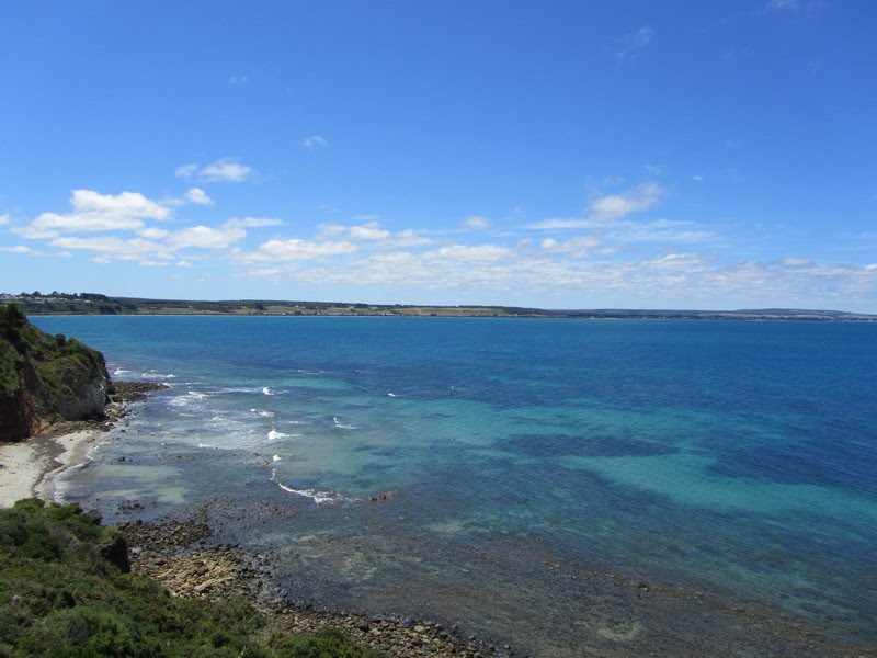
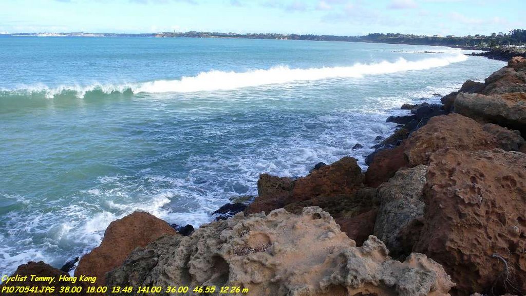
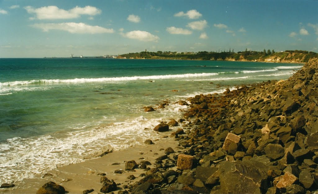
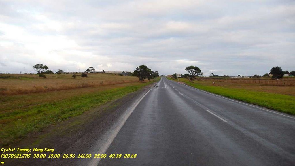
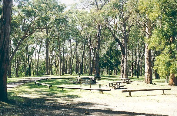
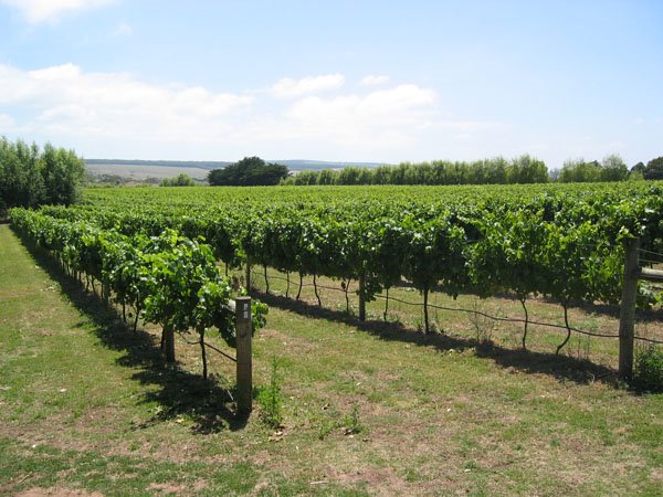
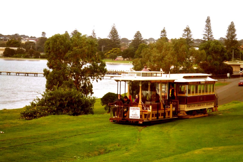
Photos of Gorae
Gorae Weather

Predicción: Overcast clouds
Temperatura: 11.7°
Humedad: 89%
Hora actual: 09:10 PM
Amanece: 07:03 AM
Anochece: 06:02 PM
Lightning Ridge, Australia
Latitude: -29.4278 // Longitude: 147.979
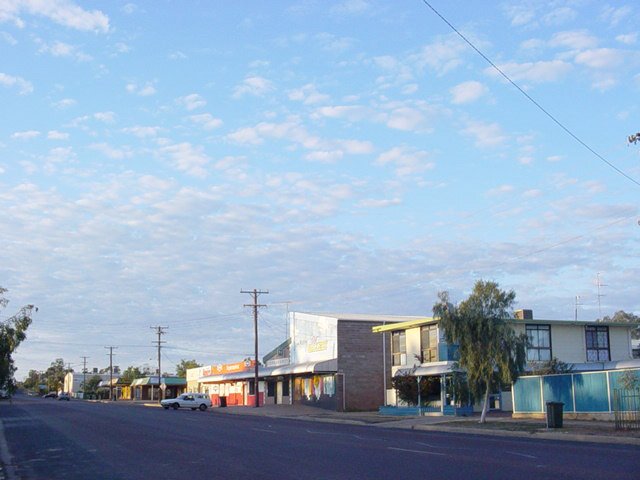
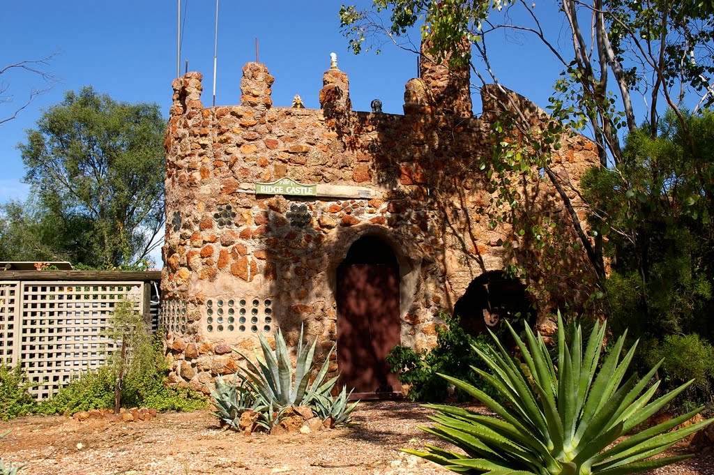
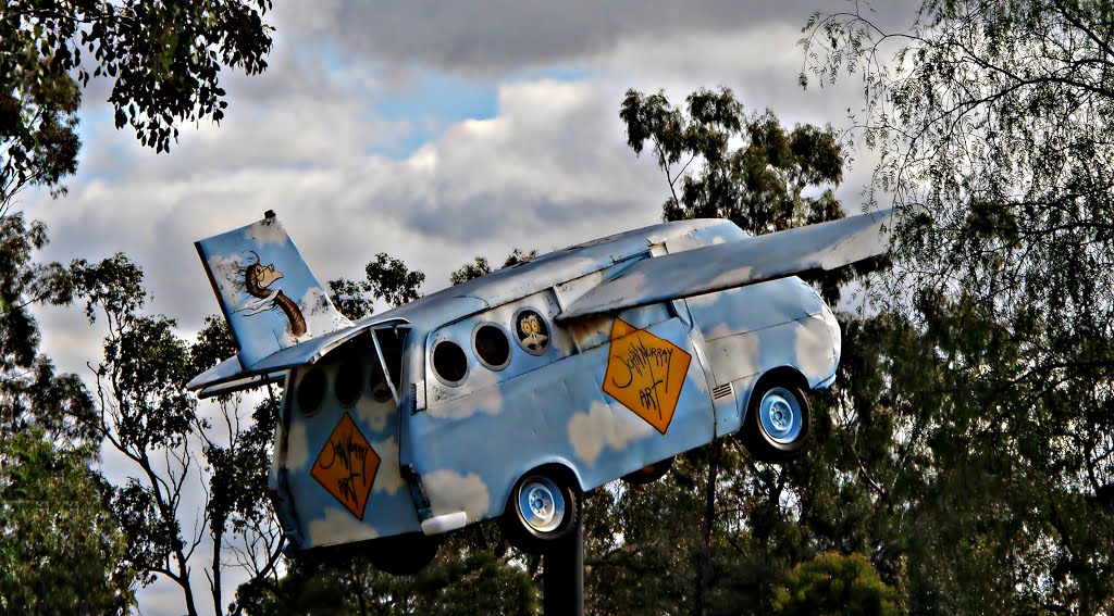
Photos of Lightning Ridge
Lightning Ridge Weather

Predicción: Clear sky
Temperatura: 20.4°
Humedad: 42%
Hora actual: 09:10 PM
Amanece: 06:28 AM
Anochece: 05:46 PM


