Distance between  Goon Nure and
  Walhalla East
50.72 mi Straight Distance
68.02 mi Driving Distance
1 hour 35 mins Estimated Driving Time
The straight distance between Goon Nure (Victoria) and Walhalla East (Victoria) is 50.72 mi, but the driving distance is 68.02 mi.
It takes to go from Goon Nure to Walhalla East.
Driving directions from Goon Nure to Walhalla East
Distance in kilometers
Straight distance: 81.61 km. Route distance: 109.45 km
Goon Nure, Australia
Latitude: -37.9592 // Longitude: 147.523
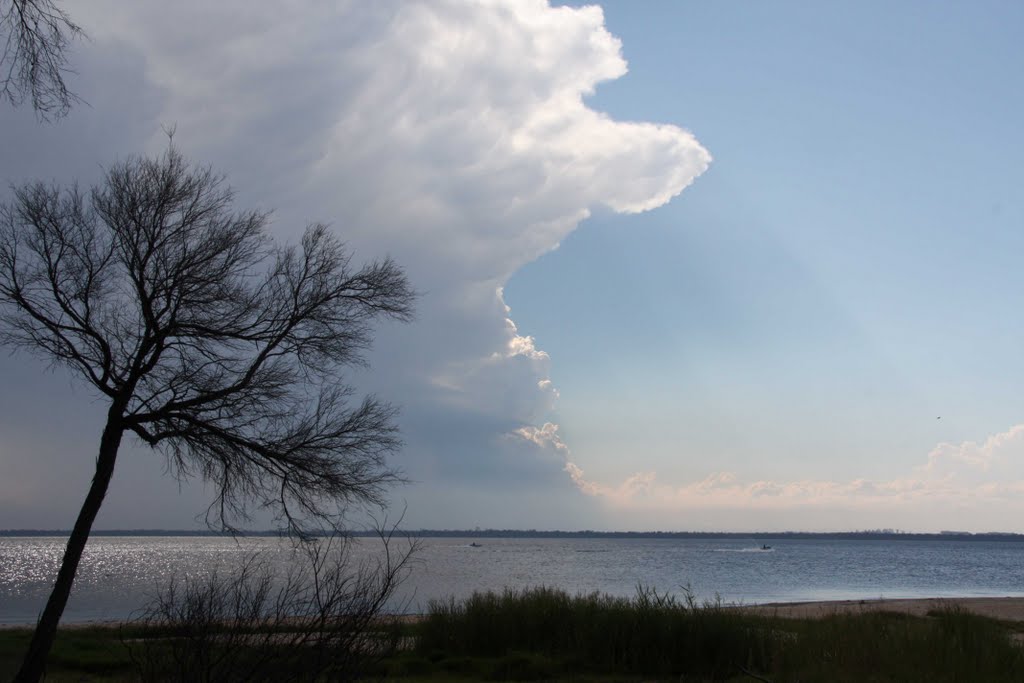
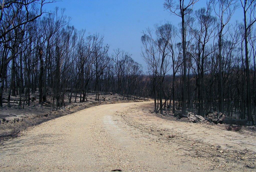
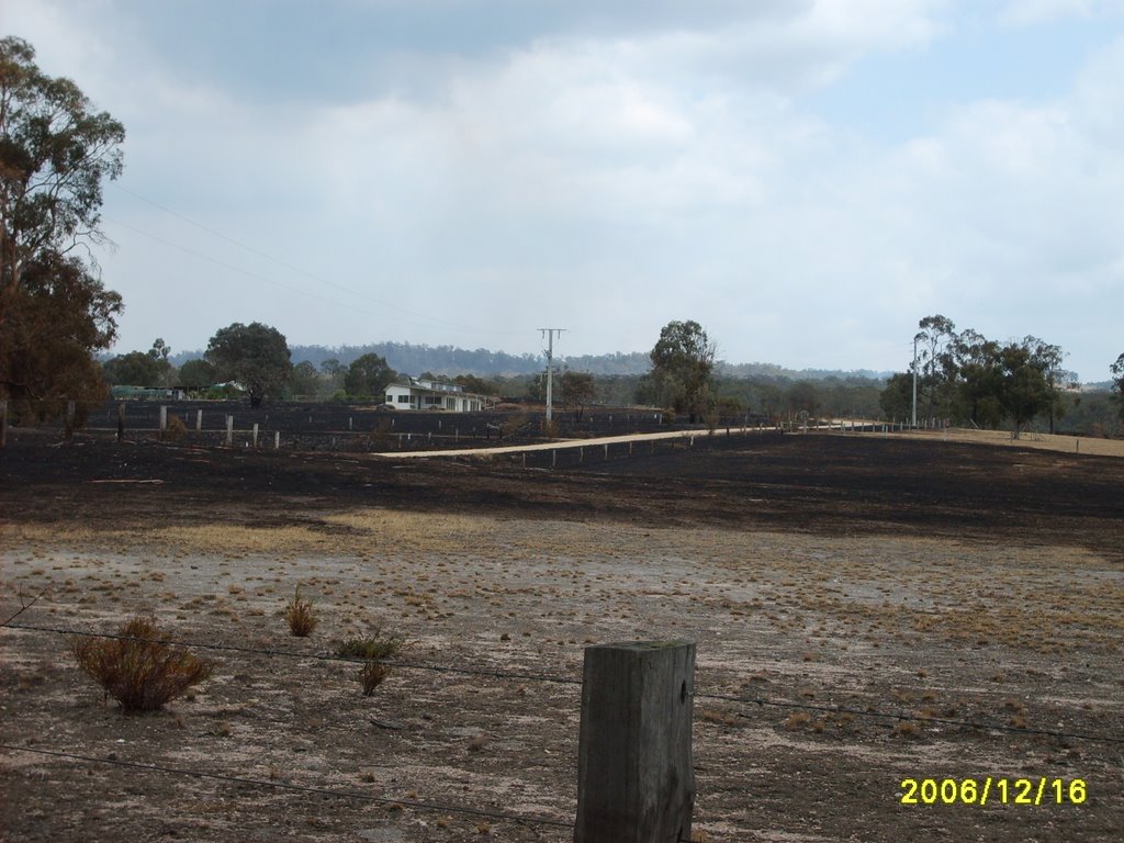
Photos of Goon Nure
Goon Nure Weather

Predicción: Broken clouds
Temperatura: 16.6°
Humedad: 71%
Hora actual: 12:00 AM
Amanece: 08:40 PM
Anochece: 07:38 AM
Walhalla East, Australia
Latitude: -37.9143 // Longitude: 146.594
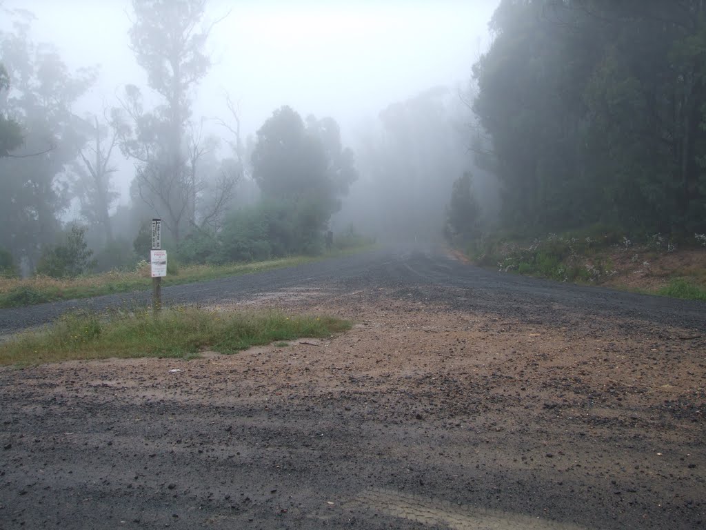
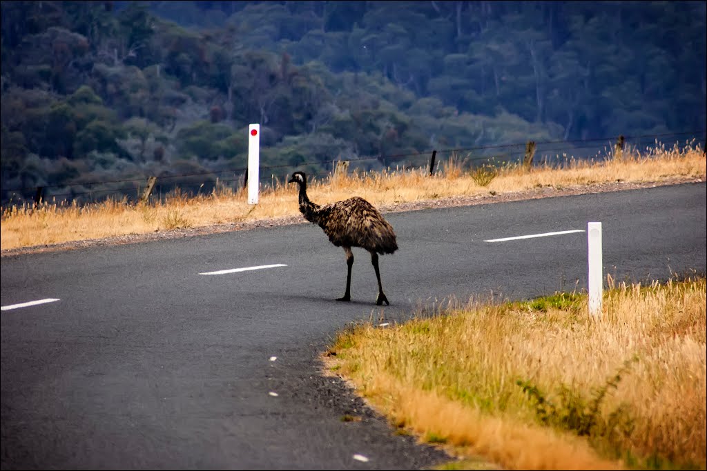
Photos of Walhalla East
Walhalla East Weather

Predicción: Scattered clouds
Temperatura: 13.0°
Humedad: 61%
Hora actual: 12:00 AM
Amanece: 08:43 PM
Anochece: 07:42 AM


