Distance between  Gobur and
  Bolinda
55.55 mi Straight Distance
86.59 mi Driving Distance
1 hour 57 mins Estimated Driving Time
The straight distance between Gobur (Victoria) and Bolinda (Victoria) is 55.55 mi, but the driving distance is 86.59 mi.
It takes to go from Gobur to Bolinda.
Driving directions from Gobur to Bolinda
Distance in kilometers
Straight distance: 89.37 km. Route distance: 139.33 km
Gobur, Australia
Latitude: -37.0134 // Longitude: 145.609
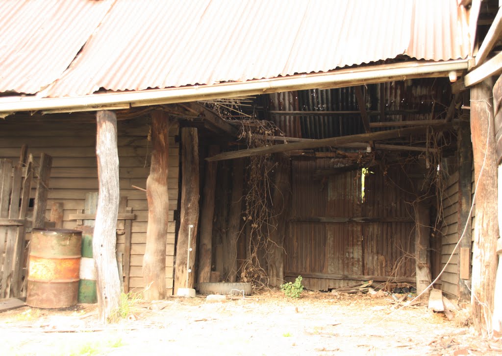
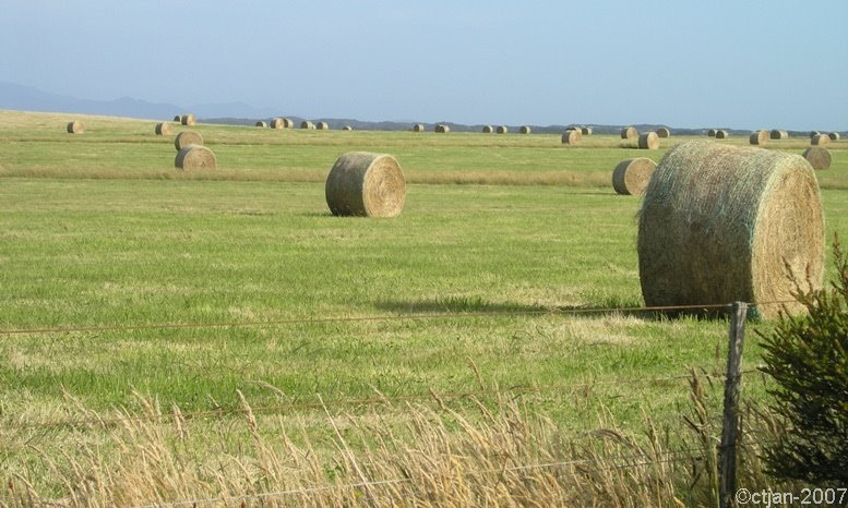
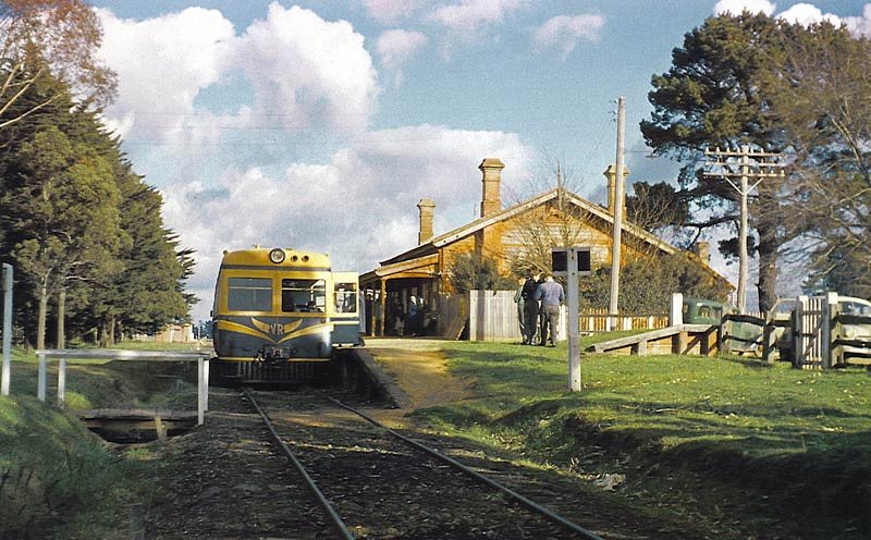
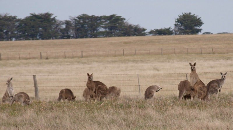
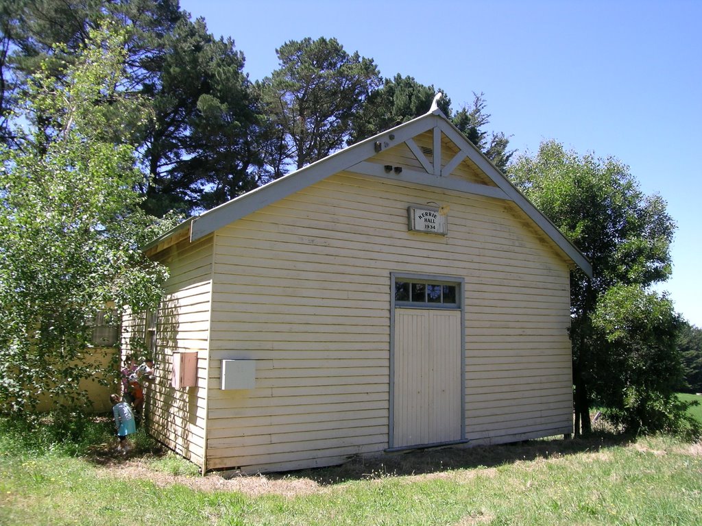
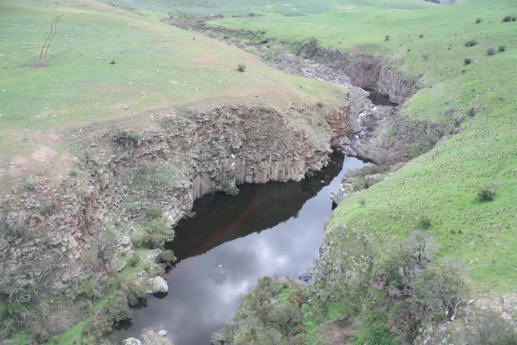
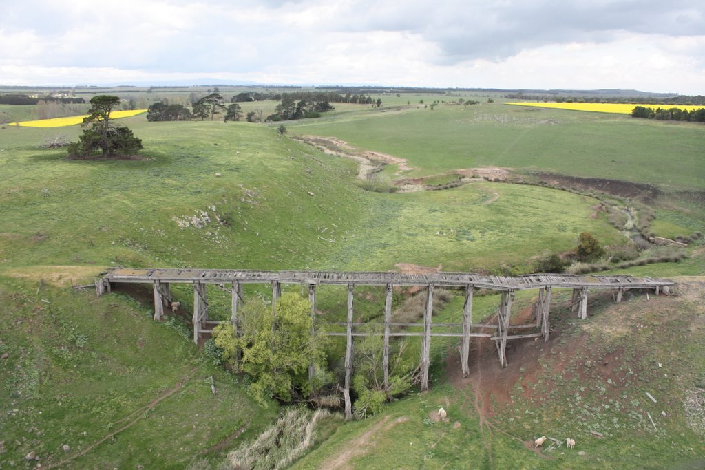
Photos of Gobur
Gobur Weather

Predicción: Light rain
Temperatura: 11.9°
Humedad: 69%
Hora actual: 12:00 AM
Amanece: 08:46 PM
Anochece: 07:47 AM
Bolinda, Australia
Latitude: -37.4319 // Longitude: 144.747
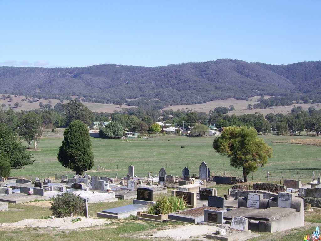
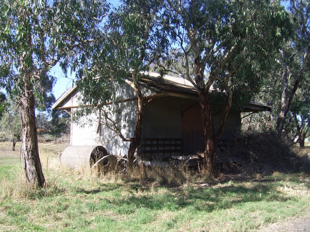
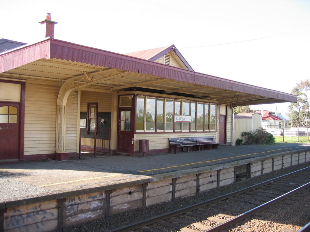
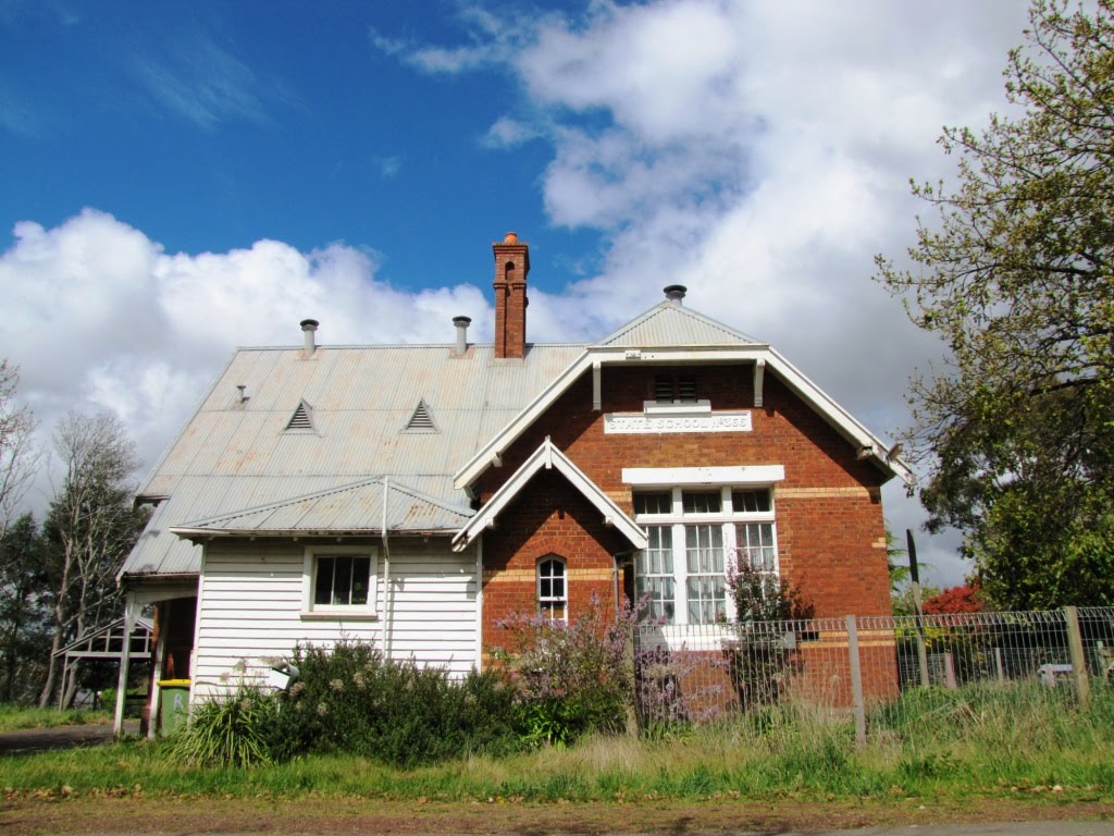
Photos of Bolinda
Bolinda Weather

Predicción: Light rain
Temperatura: 11.5°
Humedad: 81%
Hora actual: 12:00 AM
Amanece: 08:50 PM
Anochece: 07:49 AM


