Distance between  Glenrowan West and
  Mount Hotham
63.05 mi Straight Distance
97.44 mi Driving Distance
1 hour 49 mins Estimated Driving Time
The straight distance between Glenrowan West (Victoria) and Mount Hotham (Victoria) is 63.05 mi, but the driving distance is 97.44 mi.
It takes 2 hours 20 mins to go from Glenrowan West to Mount Hotham.
Driving directions from Glenrowan West to Mount Hotham
Distance in kilometers
Straight distance: 101.45 km. Route distance: 156.79 km
Glenrowan West, Australia
Latitude: -36.5215 // Longitude: 146.152
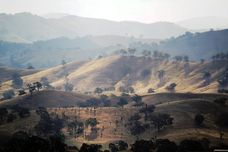
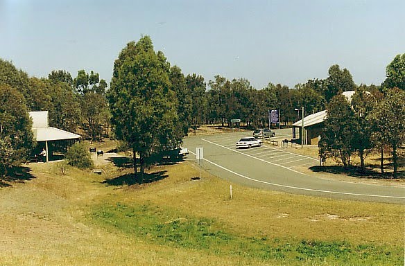
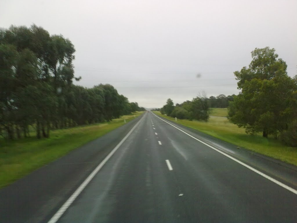
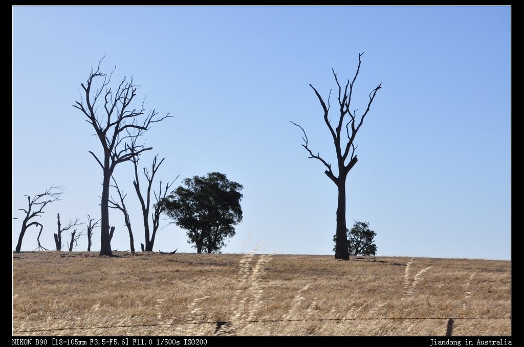
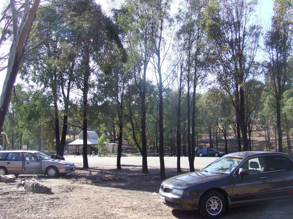
Photos of Glenrowan West
Glenrowan West Weather

Predicción: Clear sky
Temperatura: 17.1°
Humedad: 41%
Hora actual: 10:53 AM
Amanece: 06:43 AM
Anochece: 05:45 PM
Mount Hotham, Australia
Latitude: -36.9852 // Longitude: 147.133
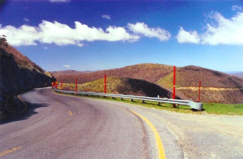
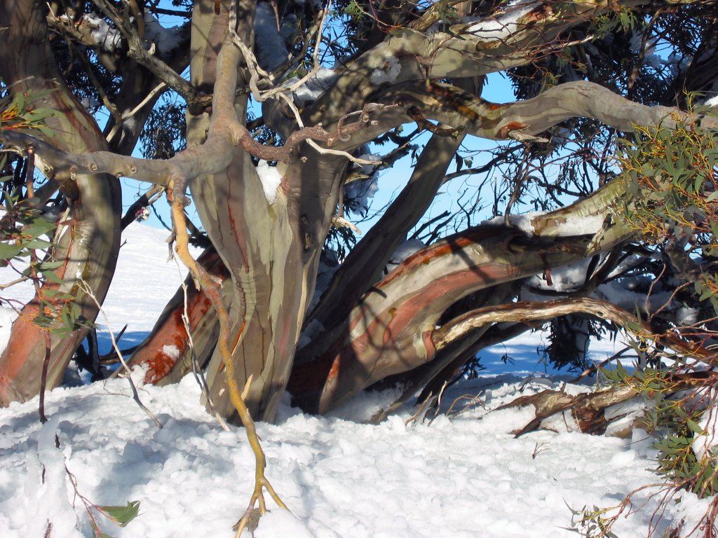
Photos of Mount Hotham
Mount Hotham Weather

Predicción: Scattered clouds
Temperatura: 11.0°
Humedad: 58%
Hora actual: 10:53 AM
Amanece: 06:40 AM
Anochece: 05:41 PM


