Distance between  Glenreagh and
  Bellata
191 mi Straight Distance
312.01 mi Driving Distance
5 hours 44 mins Estimated Driving Time
The straight distance between Glenreagh (New South Wales) and Bellata (New South Wales) is 191 mi, but the driving distance is 312.01 mi.
It takes to go from Glenreagh to Bellata.
Driving directions from Glenreagh to Bellata
Distance in kilometers
Straight distance: 307.32 km. Route distance: 502.03 km
Glenreagh, Australia
Latitude: -30.0503 // Longitude: 152.979
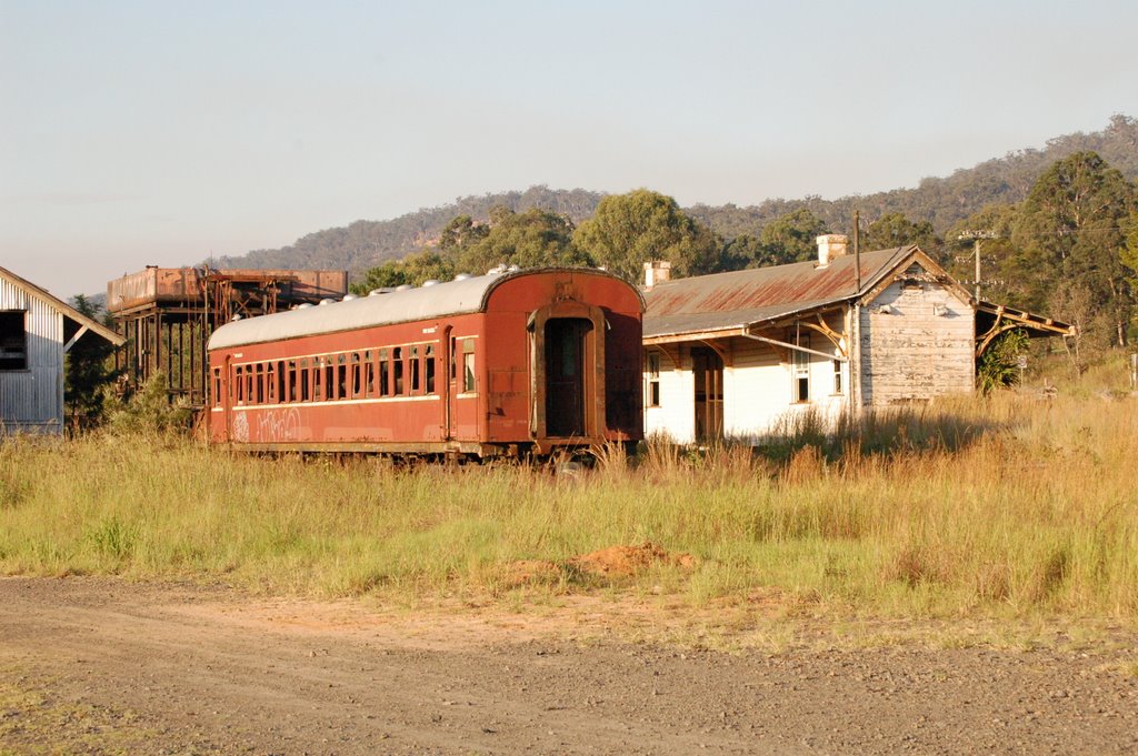
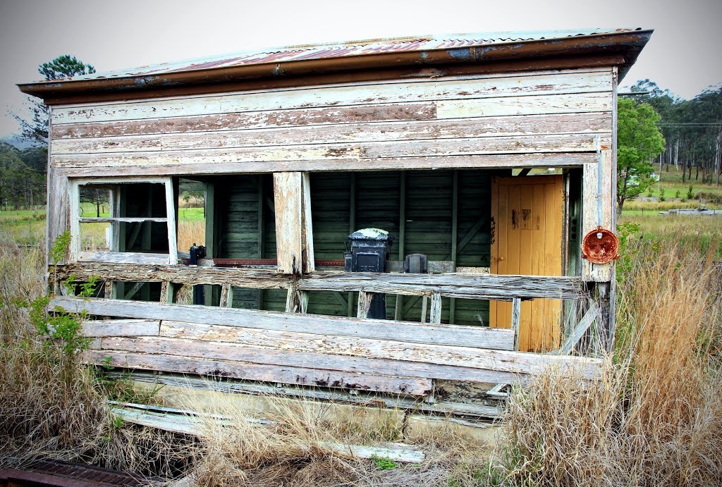
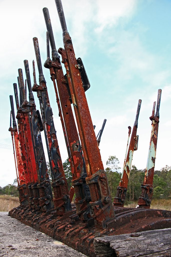
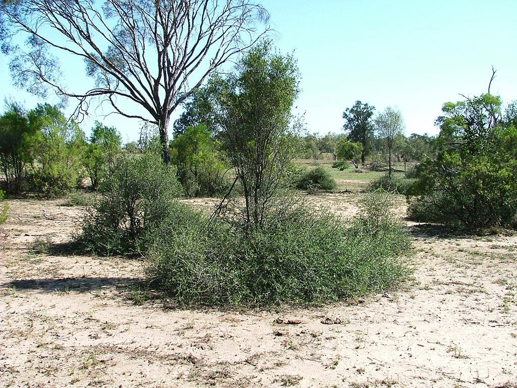
Photos of Glenreagh
Glenreagh Weather

Predicción: Few clouds
Temperatura: 25.6°
Humedad: 56%
Hora actual: 10:58 AM
Amanece: 06:09 AM
Anochece: 05:25 PM
Bellata, Australia
Latitude: -29.9182 // Longitude: 149.791
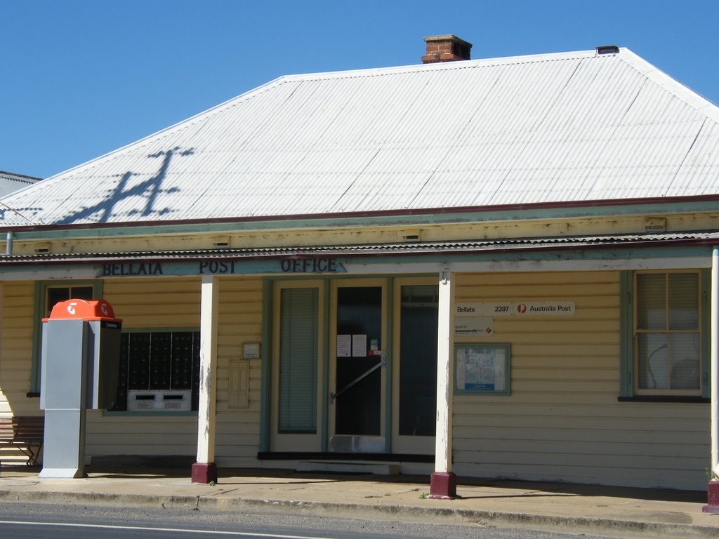
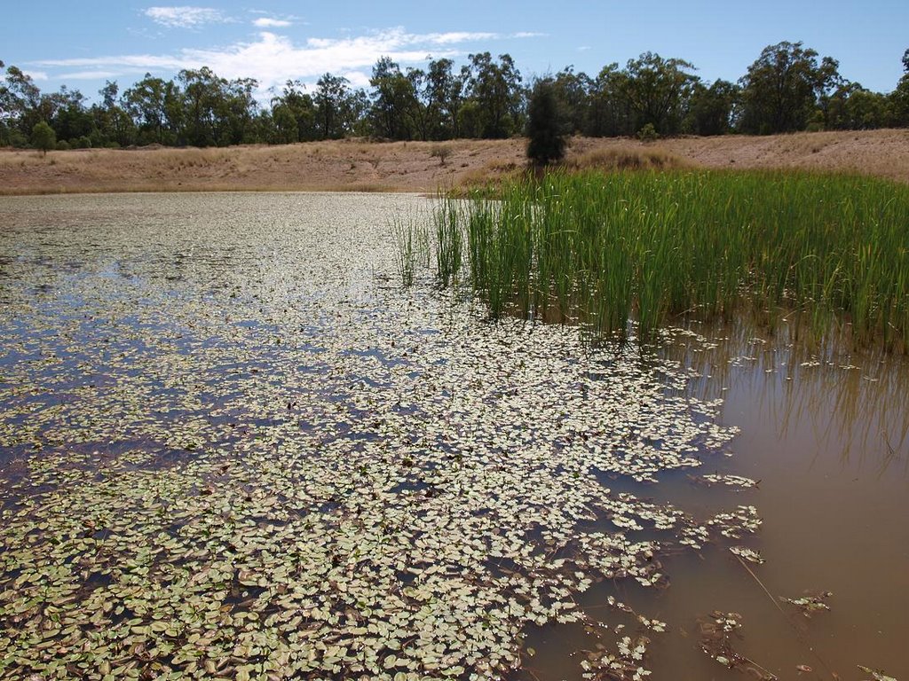
Photos of Bellata
Bellata Weather

Predicción: Light rain
Temperatura: 19.6°
Humedad: 63%
Hora actual: 10:00 AM
Amanece: 06:21 AM
Anochece: 05:38 PM


