Distance between  Glenlyon and
  Tyntynder
146.56 mi Straight Distance
174.08 mi Driving Distance
3 hours 15 mins Estimated Driving Time
The straight distance between Glenlyon (Victoria) and Tyntynder (Victoria) is 146.56 mi, but the driving distance is 174.08 mi.
It takes 3 hours 15 mins to go from Glenlyon to Tyntynder.
Driving directions from Glenlyon to Tyntynder
Distance in kilometers
Straight distance: 235.82 km. Route distance: 280.09 km
Glenlyon, Australia
Latitude: -37.2933 // Longitude: 144.245
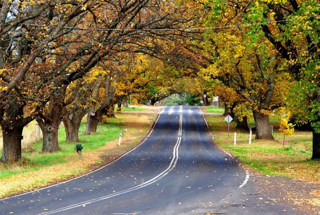
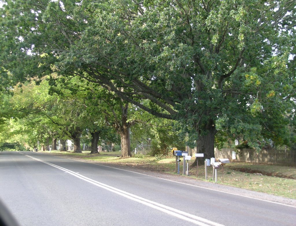
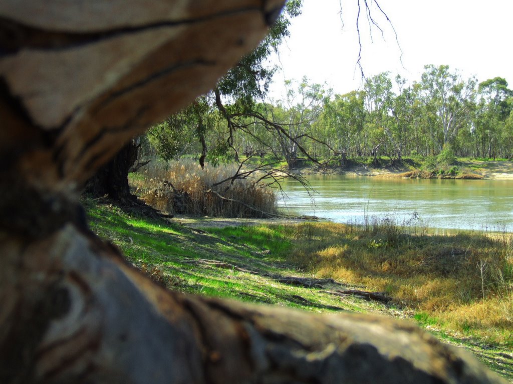
Photos of Glenlyon
Glenlyon Weather

Predicción: Overcast clouds
Temperatura: 9.6°
Humedad: 98%
Hora actual: 12:00 AM
Amanece: 08:52 PM
Anochece: 07:52 AM
Tyntynder, Australia
Latitude: -35.251 // Longitude: 143.534
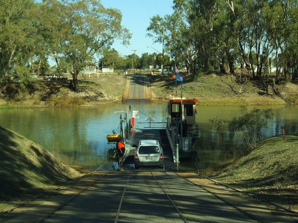
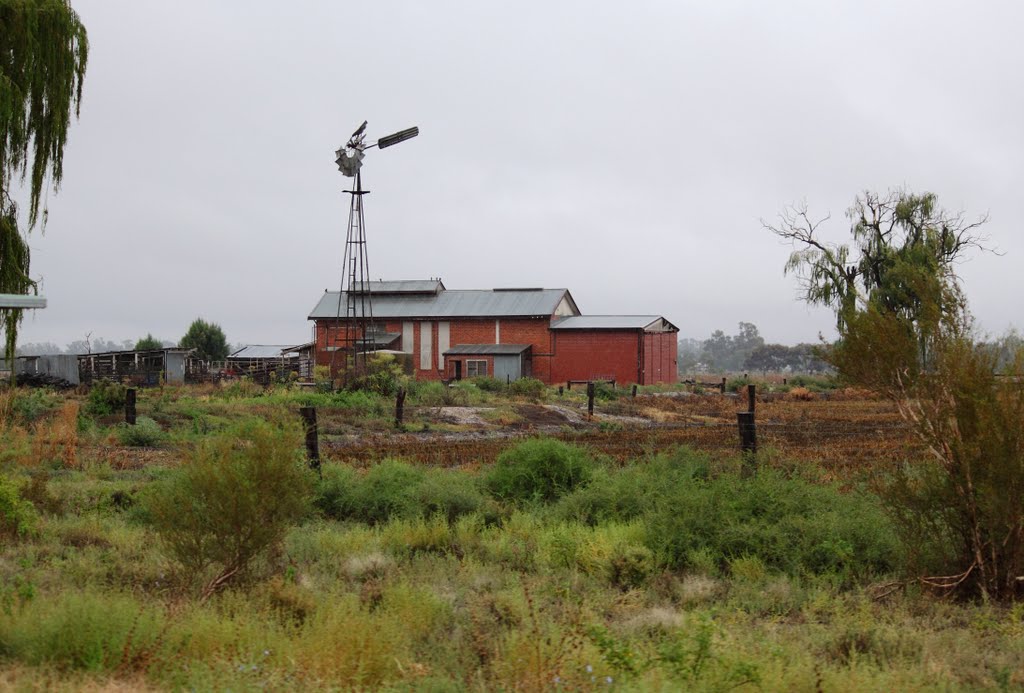
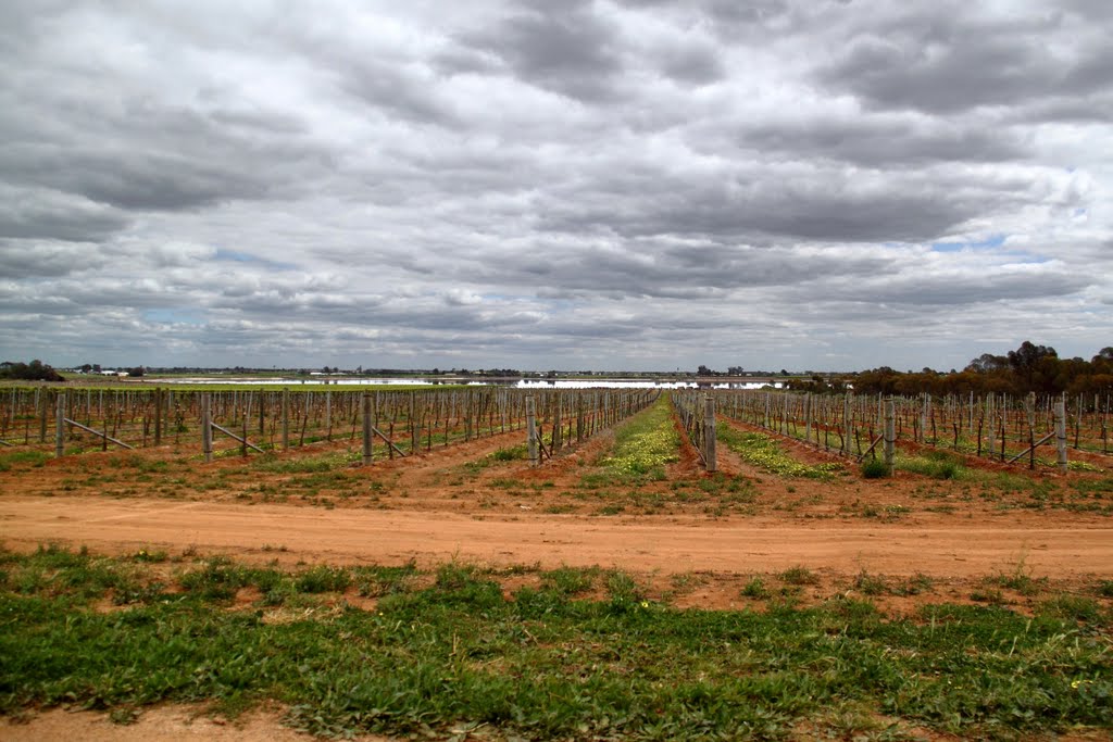
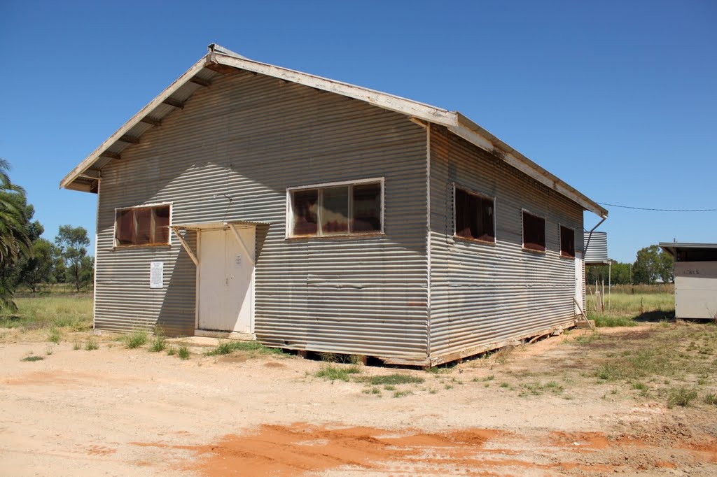
Photos of Tyntynder
Tyntynder Weather

Predicción: Light rain
Temperatura: 15.5°
Humedad: 63%
Hora actual: 12:00 AM
Amanece: 08:52 PM
Anochece: 07:57 AM


