Distance between  Glenluce and
  Moora
Moora
1,673.79 mi Straight Distance
2,132.72 mi Driving Distance
1 day 10 hours Estimated Driving Time
The straight distance between Glenluce (Victoria) and Moora (Western Australia) is 1,673.79 mi, but the driving distance is 2,132.72 mi.
It takes to go from Glenluce to Moora.
Driving directions from Glenluce to Moora
Distance in kilometers
Straight distance: 2,693.12 km. Route distance: 3,431.54 km
Glenluce, Australia
Latitude: -37.1901 // Longitude: 144.239
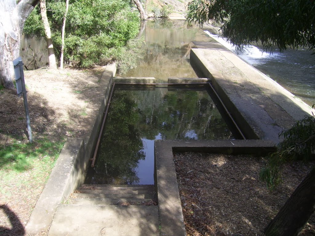
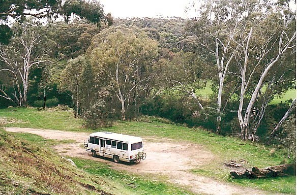
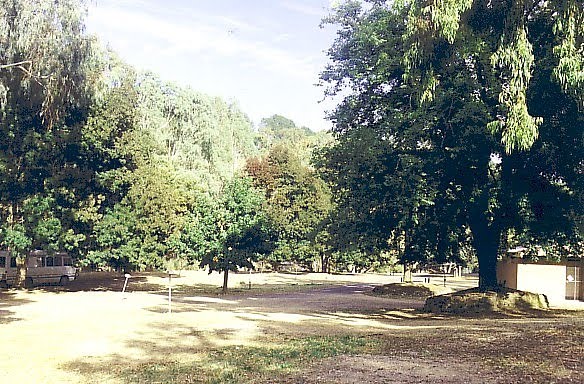
Photos of Glenluce
Glenluce Weather

Predicción: Overcast clouds
Temperatura: 11.7°
Humedad: 90%
Hora actual: 12:00 AM
Amanece: 08:50 PM
Anochece: 07:54 AM
Moora, Australia
Latitude: -30.6401 // Longitude: 116.008
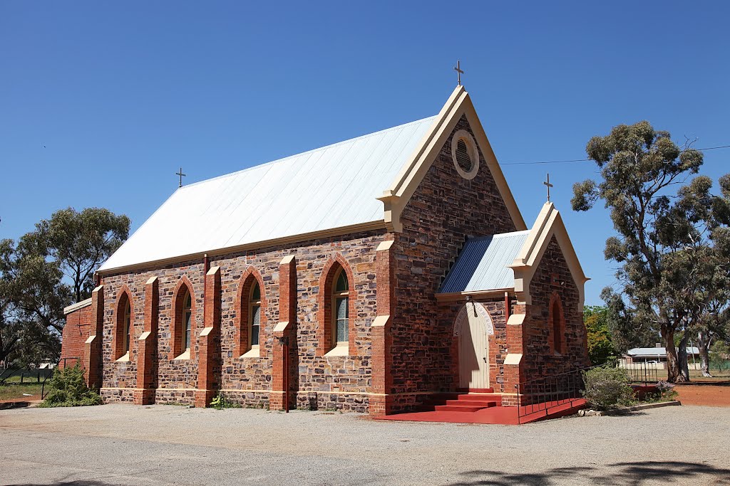
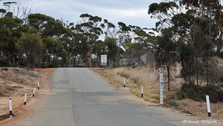
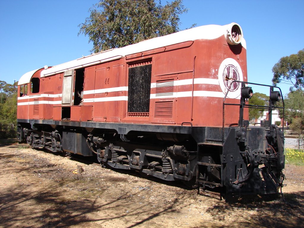
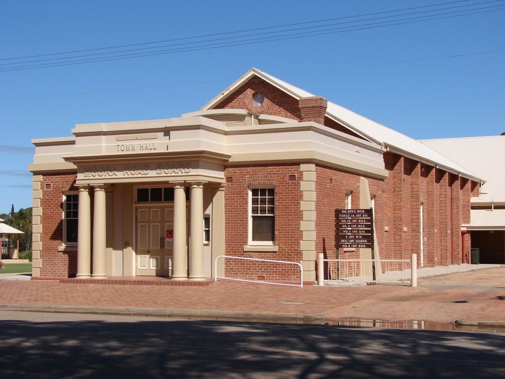
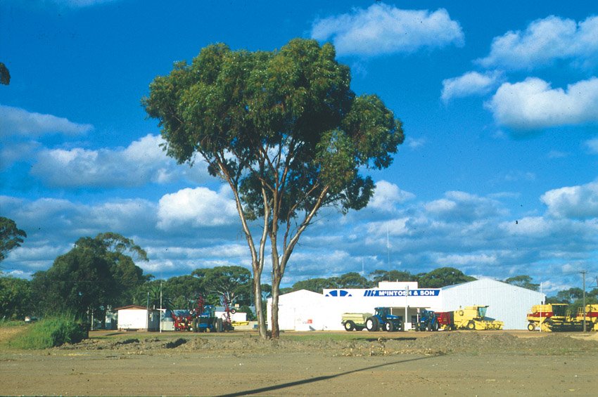
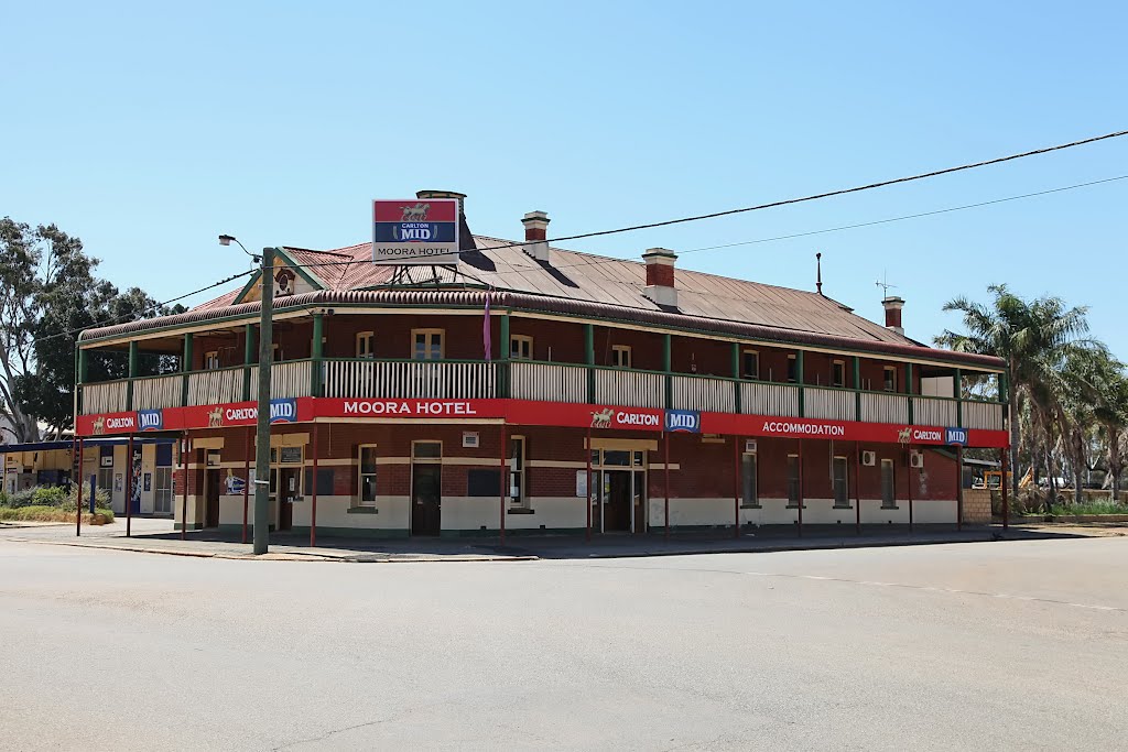
Photos of Moora
Moora Weather

Predicción: Clear sky
Temperatura: 24.0°
Humedad: 32%
Hora actual: 06:50 PM
Amanece: 06:36 AM
Anochece: 05:54 PM


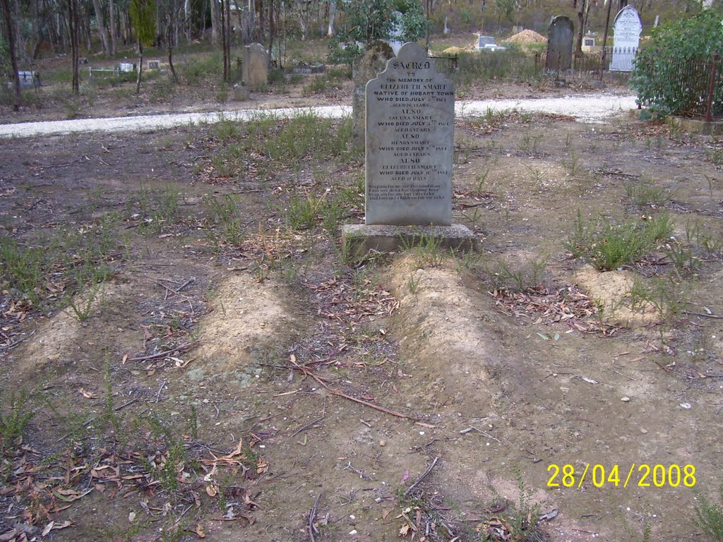

![Panorama outside Vaughan vineyard [2011] Panorama outside Vaughan vineyard [2011]](/photos/57369484.jpg)
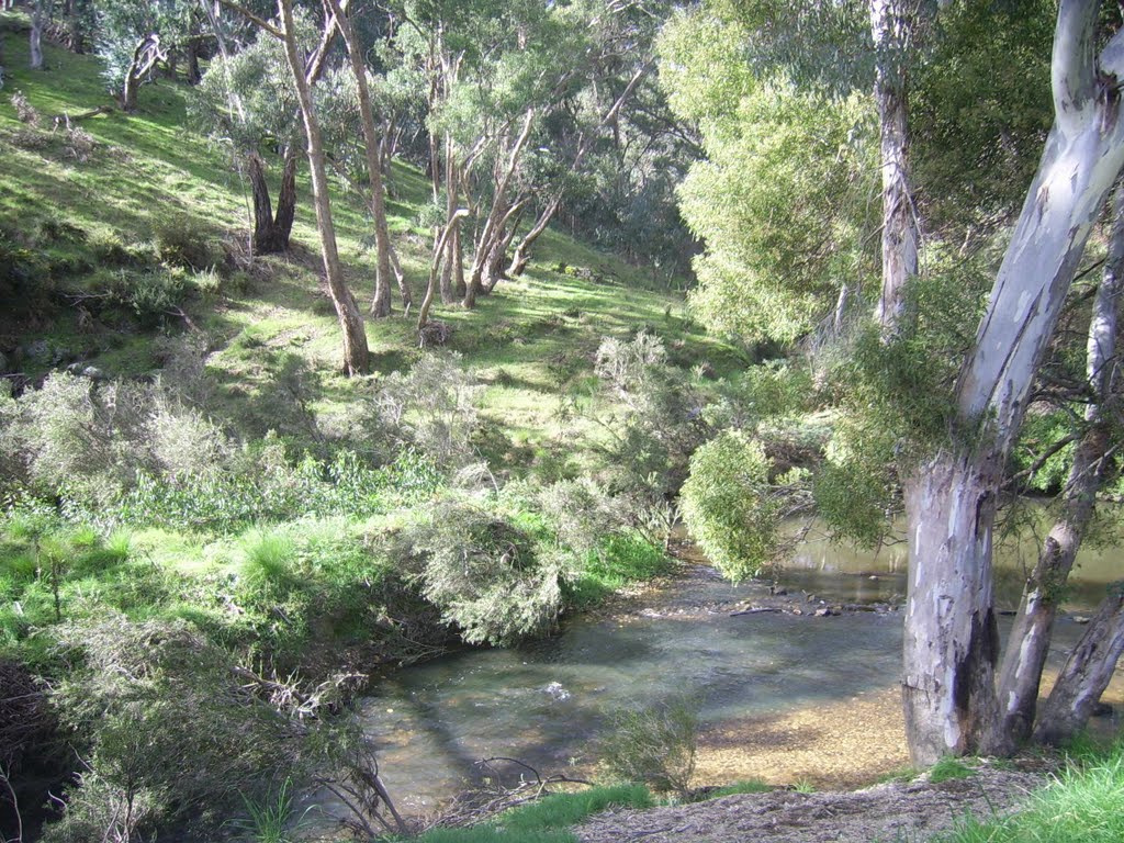
![Panorama overlooking Red Knob outside Vaughan [2011] Panorama overlooking Red Knob outside Vaughan [2011]](/photos/57369487.jpg)
