Distance between  Glenloth East and
  Little Desert
87.12 mi Straight Distance
105.63 mi Driving Distance
2 hours 13 mins Estimated Driving Time
The straight distance between Glenloth East (Victoria) and Little Desert (Victoria) is 87.12 mi, but the driving distance is 105.63 mi.
It takes 2 hours 25 mins to go from Glenloth East to Little Desert.
Driving directions from Glenloth East to Little Desert
Distance in kilometers
Straight distance: 140.18 km. Route distance: 169.96 km
Glenloth East, Australia
Latitude: -36.0592 // Longitude: 143.457
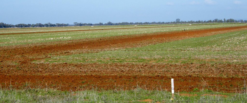
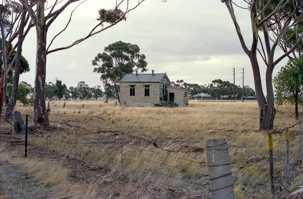
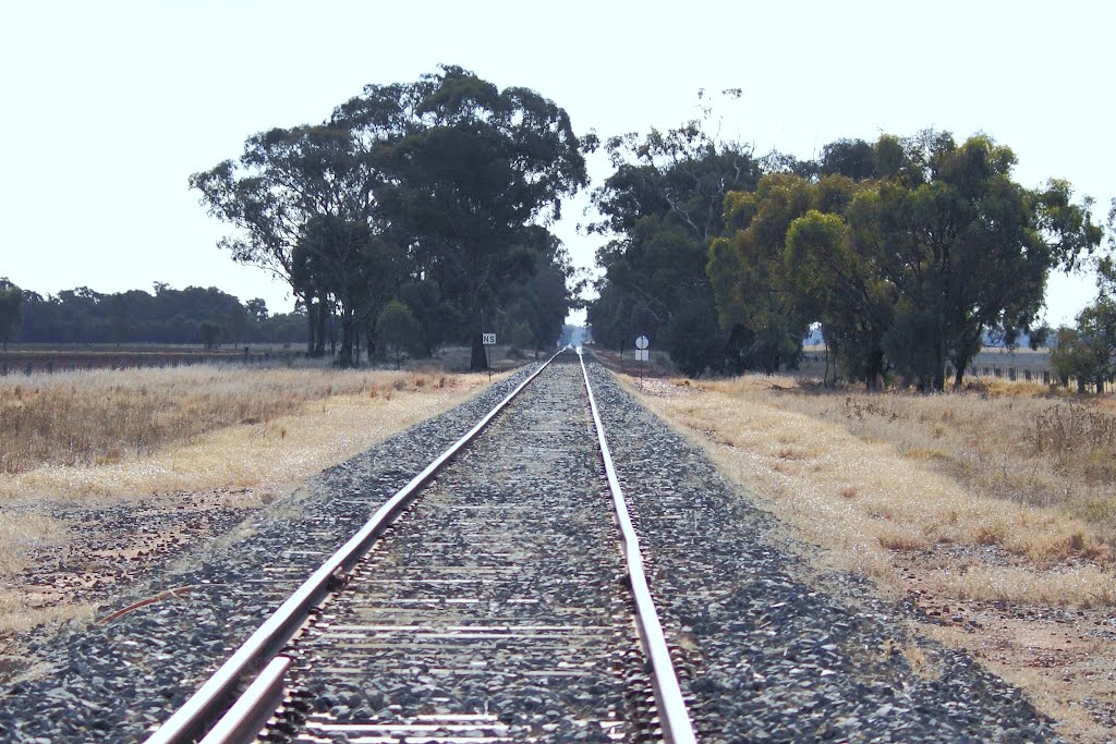
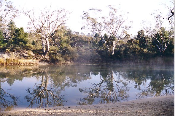
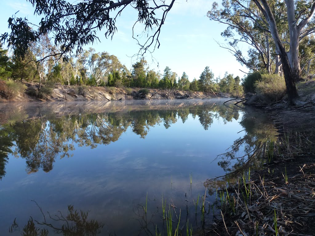
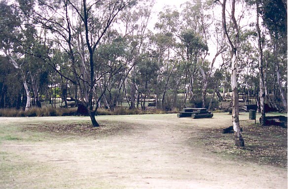
Photos of Glenloth East
Glenloth East Weather

Predicción: Overcast clouds
Temperatura: 15.1°
Humedad: 55%
Hora actual: 12:00 AM
Amanece: 08:54 PM
Anochece: 07:56 AM
Little Desert, Australia
Latitude: -36.514 // Longitude: 141.998
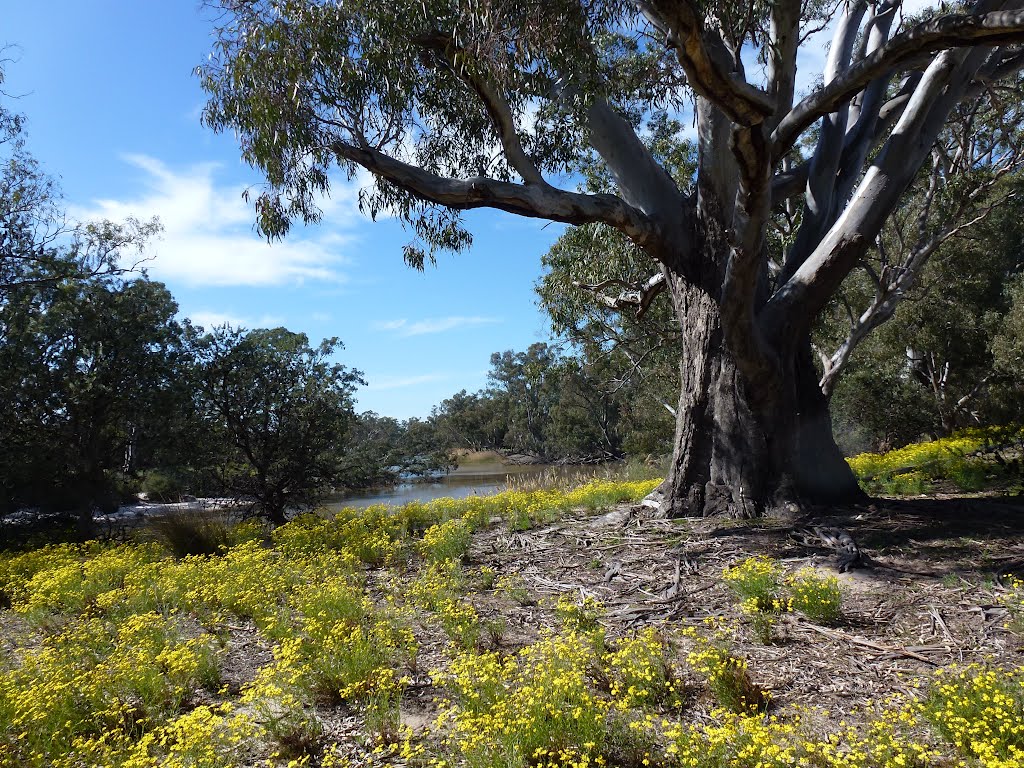
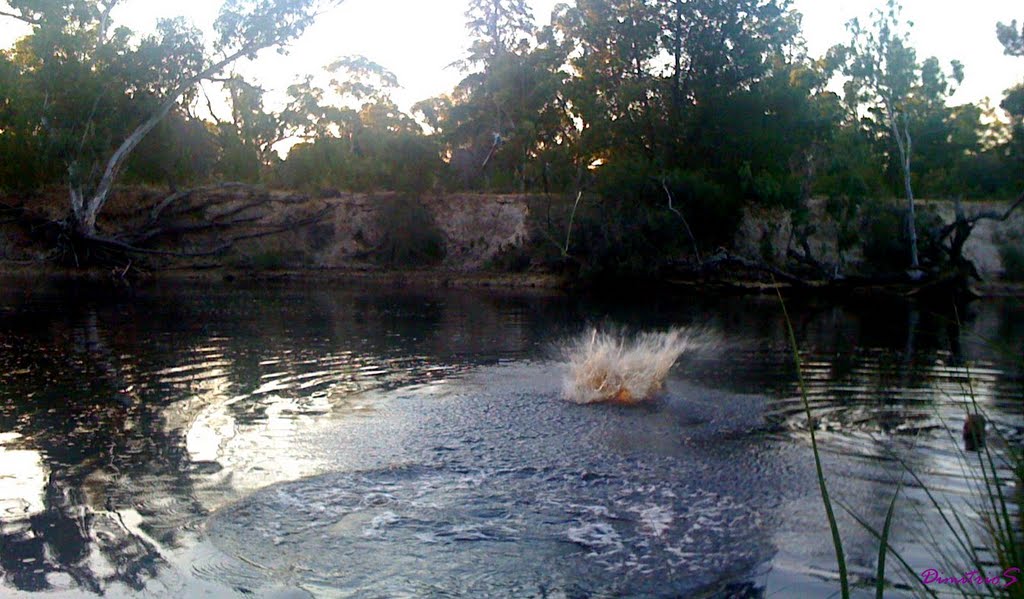
Photos of Little Desert
Little Desert Weather

Predicción: Overcast clouds
Temperatura: 14.9°
Humedad: 66%
Hora actual: 07:00 PM
Amanece: 07:00 AM
Anochece: 06:02 PM


