Distance between  Glenlogie and
  Grampians
52.07 mi Straight Distance
81.93 mi Driving Distance
2 hours 34 mins Estimated Driving Time
The straight distance between Glenlogie (Victoria) and Grampians (Victoria) is 52.07 mi, but the driving distance is 81.93 mi.
It takes to go from Glenlogie to Grampians.
Driving directions from Glenlogie to Grampians
Distance in kilometers
Straight distance: 83.77 km. Route distance: 131.83 km
Glenlogie, Australia
Latitude: -37.2431 // Longitude: 143.301
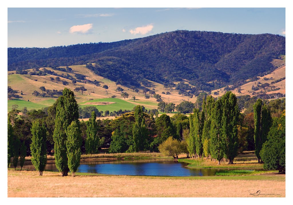
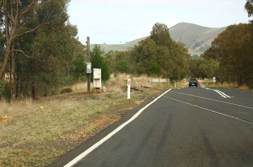
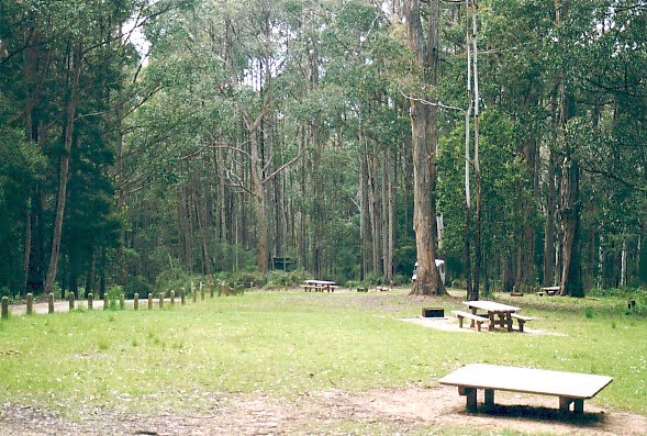
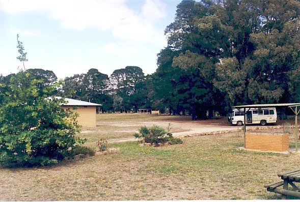
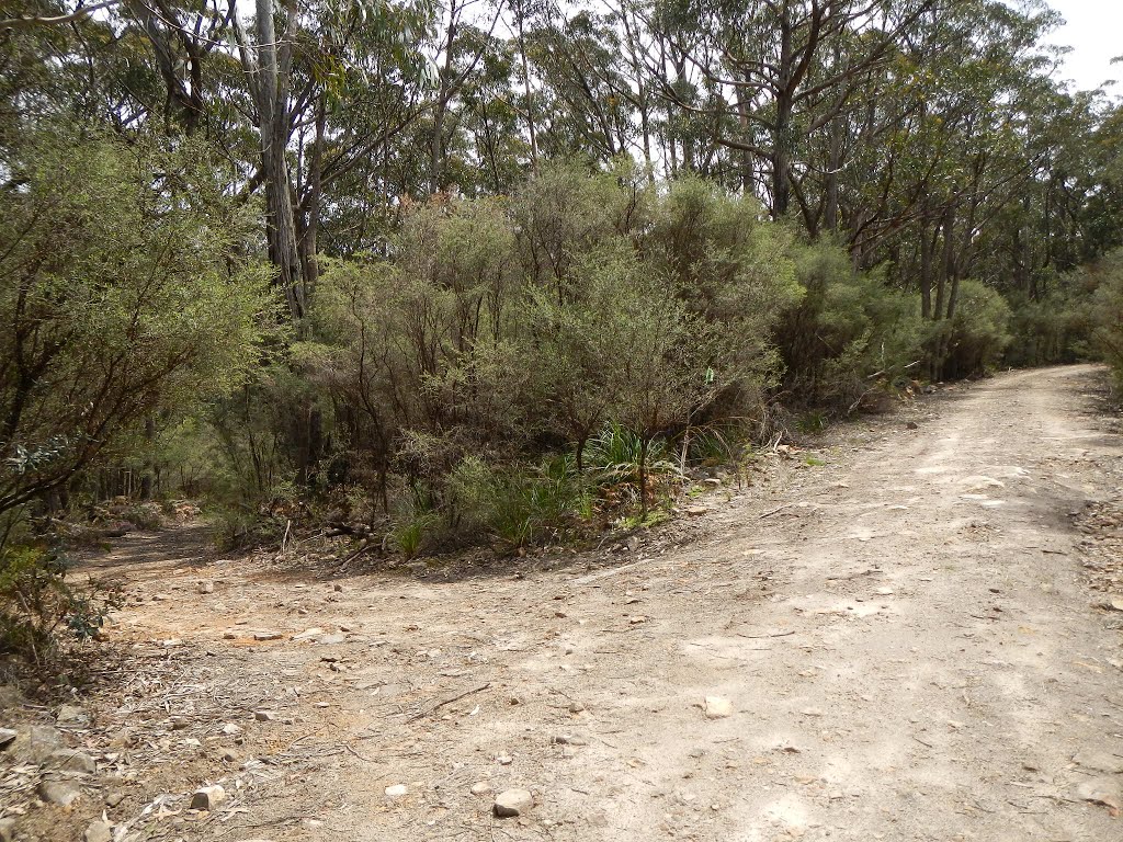
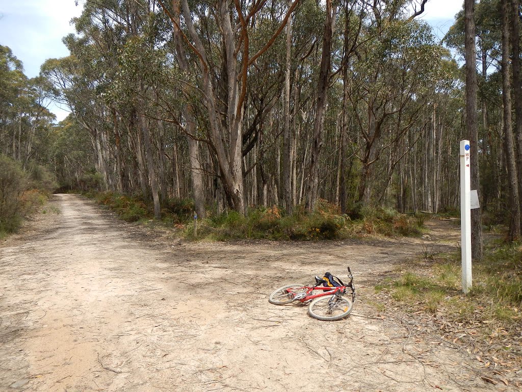
Photos of Glenlogie
Glenlogie Weather

Predicción: Light rain
Temperatura: 11.8°
Humedad: 81%
Hora actual: 12:00 AM
Amanece: 08:56 PM
Anochece: 07:55 AM
Grampians, Australia
Latitude: -37.3287 // Longitude: 142.36
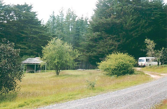
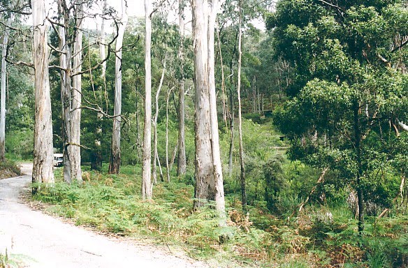
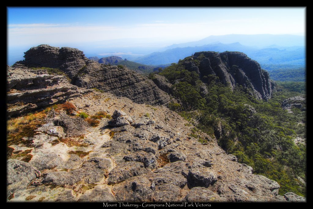
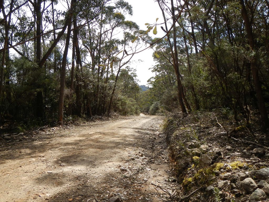
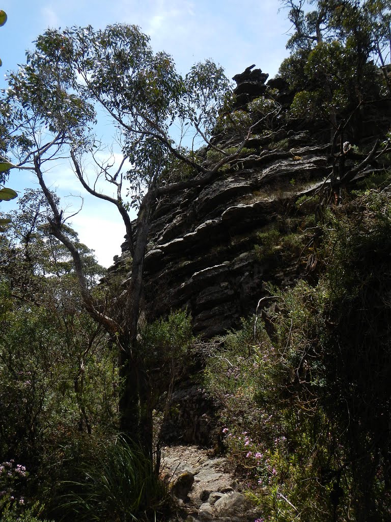
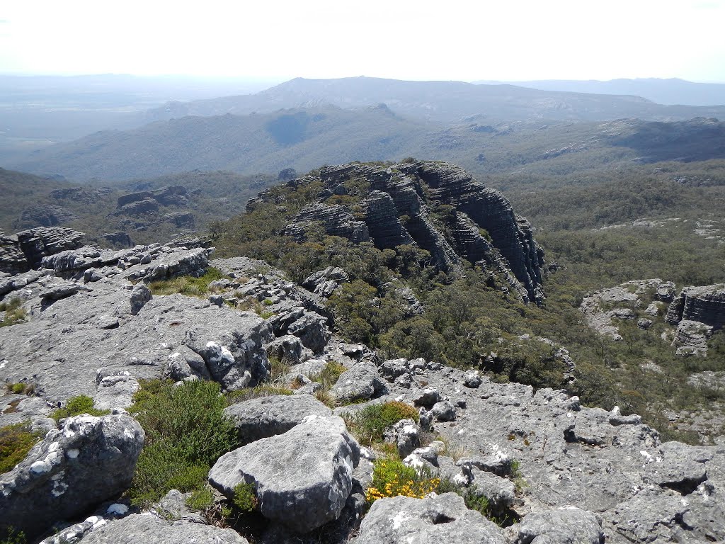
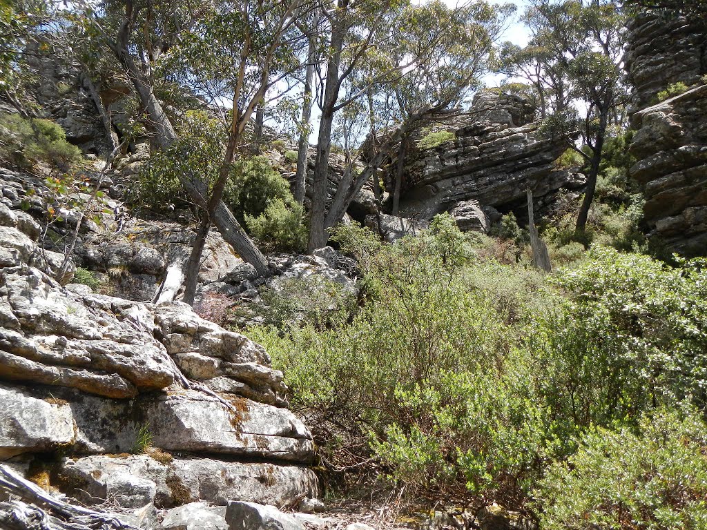
Photos of Grampians
Grampians Weather

Predicción: Overcast clouds
Temperatura: 11.3°
Humedad: 92%
Hora actual: 12:00 AM
Amanece: 08:59 PM
Anochece: 07:59 AM


