Distance between  Glenhope East and
  Irrewillipe
117.23 mi Straight Distance
170.25 mi Driving Distance
3 hours 22 mins Estimated Driving Time
The straight distance between Glenhope East (Victoria) and Irrewillipe (Victoria) is 117.23 mi, but the driving distance is 170.25 mi.
It takes to go from Glenhope East to Irrewillipe.
Driving directions from Glenhope East to Irrewillipe
Distance in kilometers
Straight distance: 188.62 km. Route distance: 273.94 km
Glenhope East, Australia
Latitude: -37.0684 // Longitude: 144.7
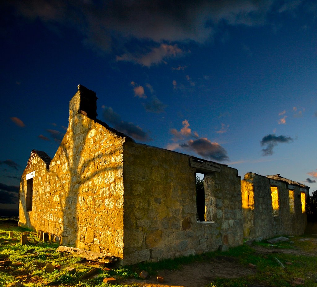
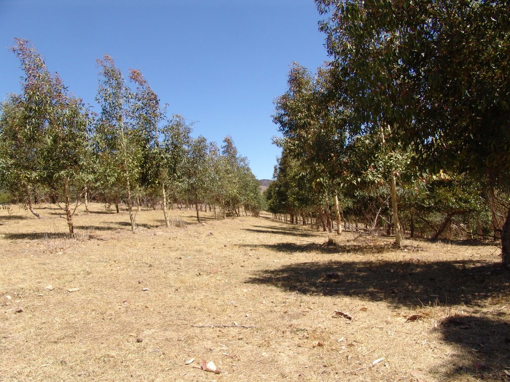
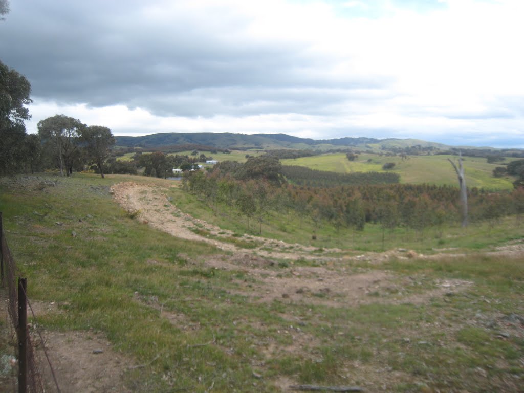
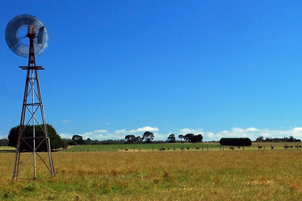
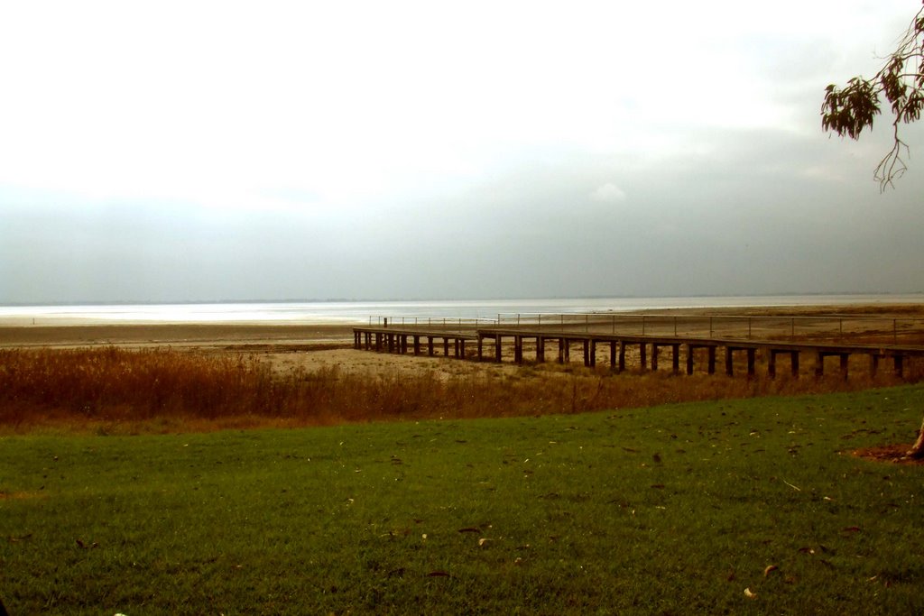
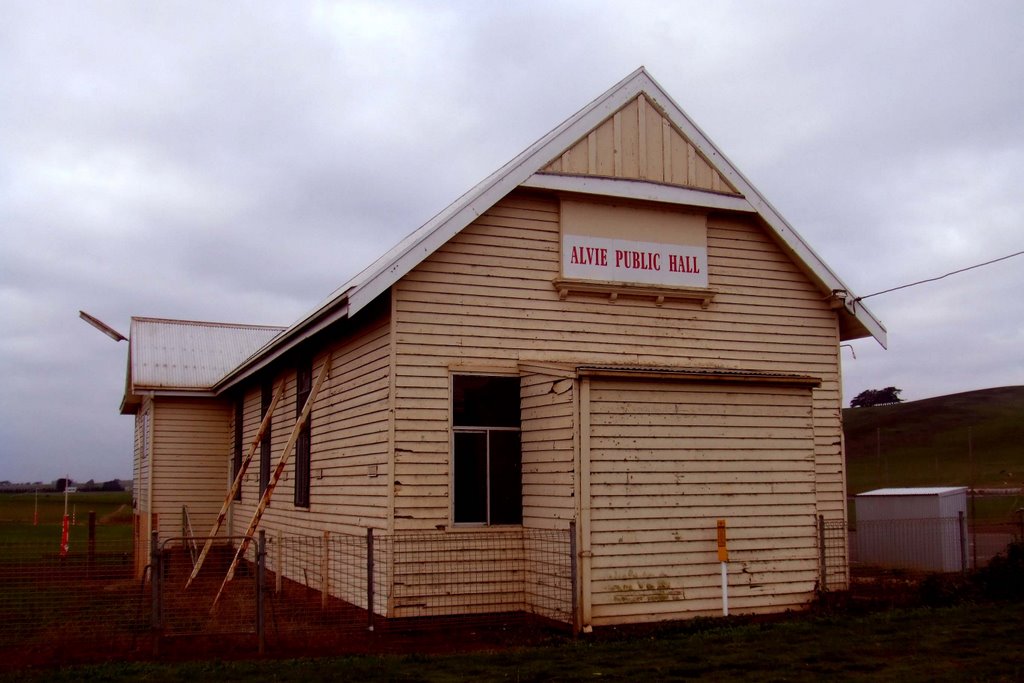
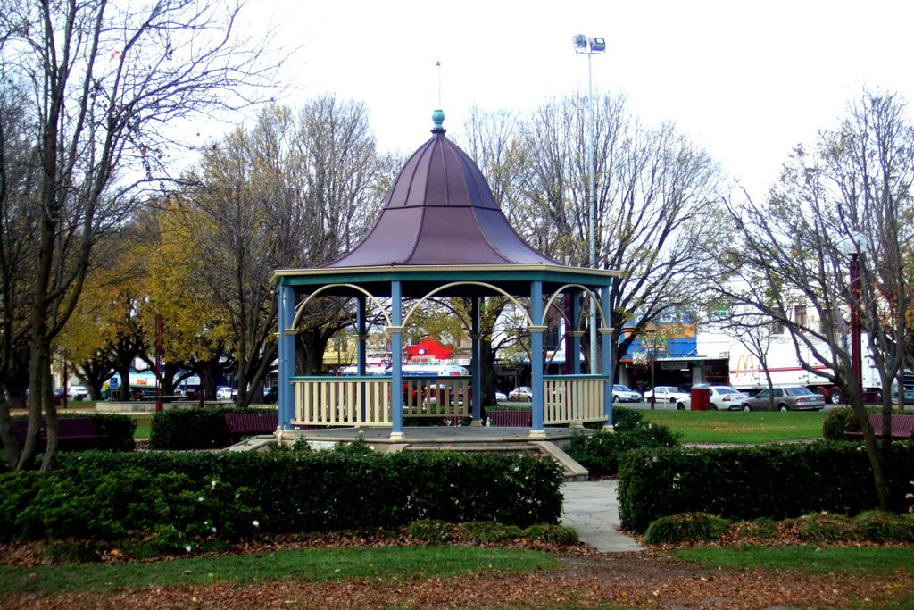
Photos of Glenhope East
Glenhope East Weather

Predicción: Overcast clouds
Temperatura: 10.3°
Humedad: 92%
Hora actual: 12:00 AM
Amanece: 08:48 PM
Anochece: 07:53 AM
Irrewillipe, Australia
Latitude: -38.4182 // Longitude: 143.4
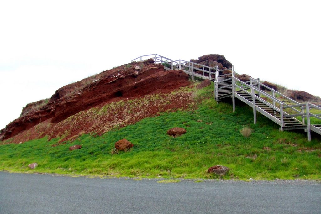
Photos of Irrewillipe
Irrewillipe Weather

Predicción: Overcast clouds
Temperatura: 11.3°
Humedad: 85%
Hora actual: 12:00 AM
Amanece: 08:55 PM
Anochece: 07:56 AM


