Distance between  Glenhope East and
  Bolwarrah
46.01 mi Straight Distance
63.19 mi Driving Distance
1 hour 44 mins Estimated Driving Time
The straight distance between Glenhope East (Victoria) and Bolwarrah (Victoria) is 46.01 mi, but the driving distance is 63.19 mi.
It takes 1 hour 26 mins to go from Glenhope East to Bolwarrah.
Driving directions from Glenhope East to Bolwarrah
Distance in kilometers
Straight distance: 74.03 km. Route distance: 101.67 km
Glenhope East, Australia
Latitude: -37.0684 // Longitude: 144.7
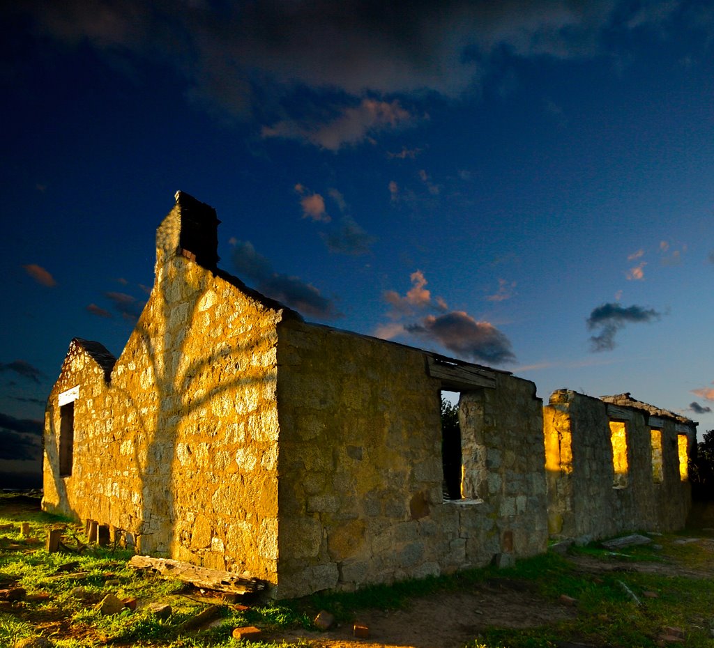
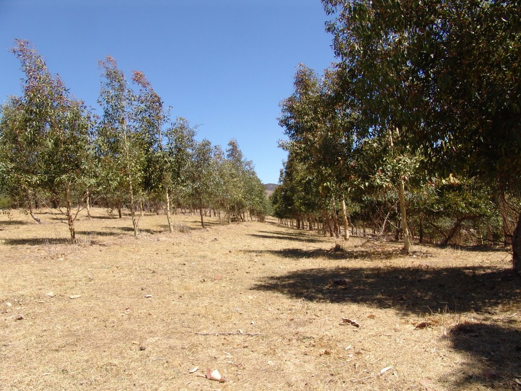
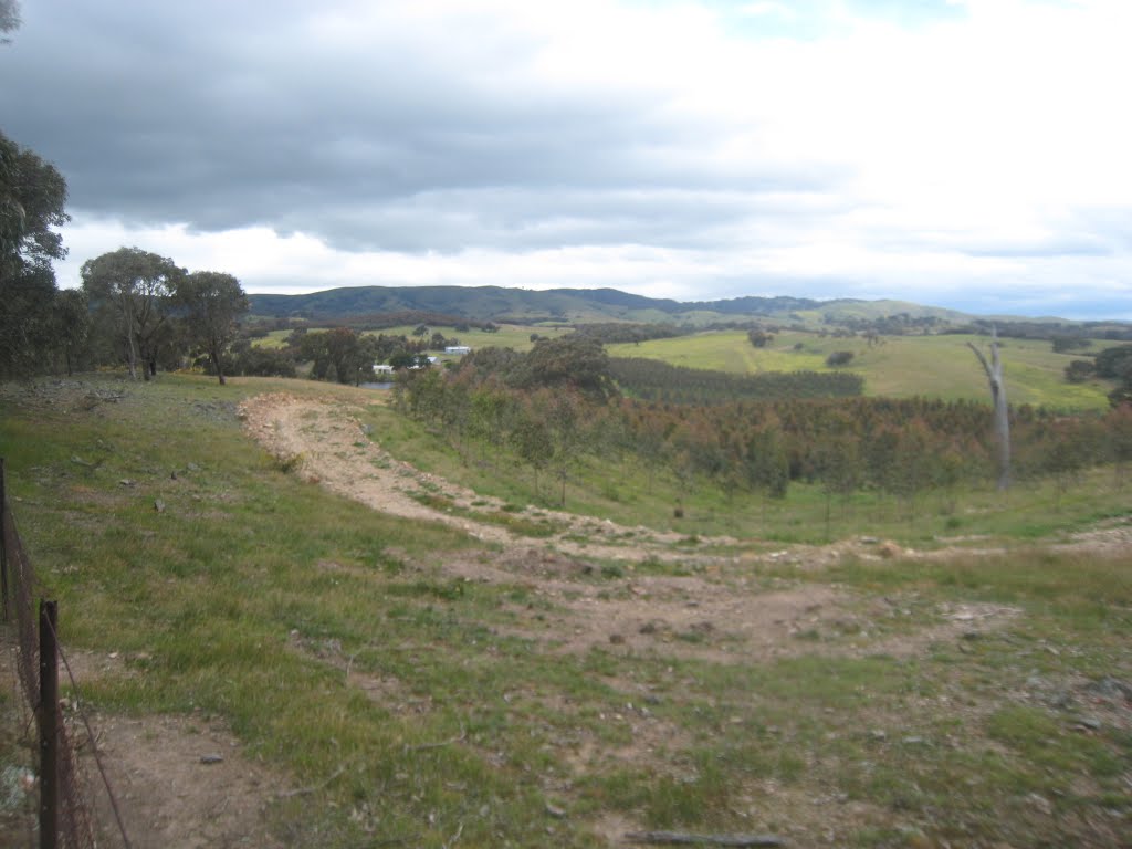
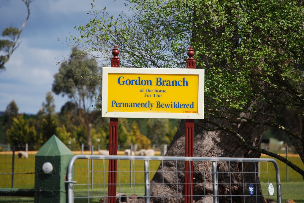
Photos of Glenhope East
Glenhope East Weather

Predicción: Light rain
Temperatura: 12.9°
Humedad: 56%
Hora actual: 12:00 AM
Amanece: 08:50 PM
Anochece: 07:50 AM
Bolwarrah, Australia
Latitude: -37.5167 // Longitude: 144.081
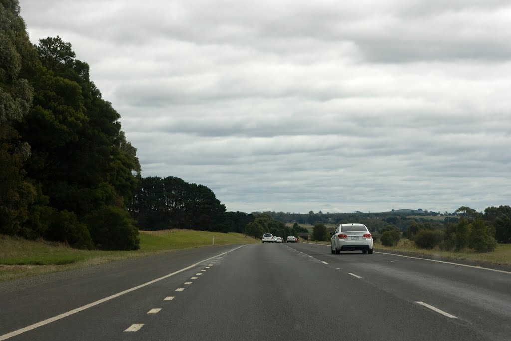
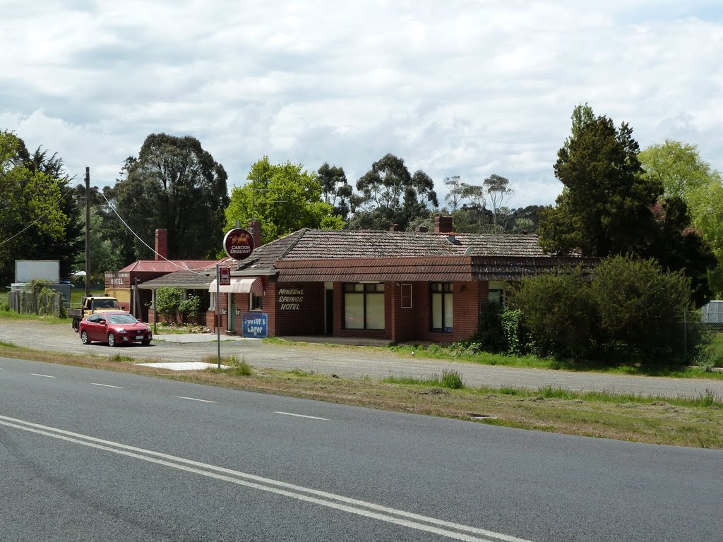
Photos of Bolwarrah
Bolwarrah Weather

Predicción: Overcast clouds
Temperatura: 9.9°
Humedad: 87%
Hora actual: 04:48 PM
Amanece: 06:52 AM
Anochece: 05:53 PM


