Distance between  Glengarry and
  Earlston
120.43 mi Straight Distance
223.57 mi Driving Distance
3 hours 47 mins Estimated Driving Time
The straight distance between Glengarry (Victoria) and Earlston (Victoria) is 120.43 mi, but the driving distance is 223.57 mi.
It takes 4 hours 0 mins to go from Glengarry to Earlston.
Driving directions from Glengarry to Earlston
Distance in kilometers
Straight distance: 193.77 km. Route distance: 359.72 km
Glengarry, Australia
Latitude: -38.1292 // Longitude: 146.563
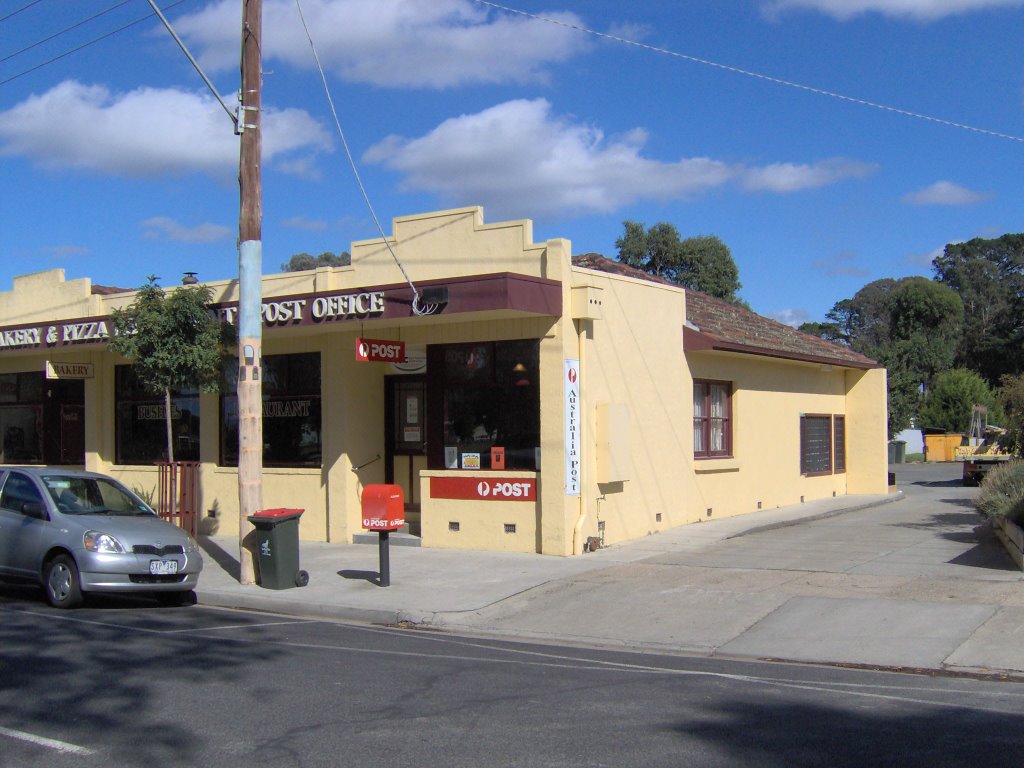
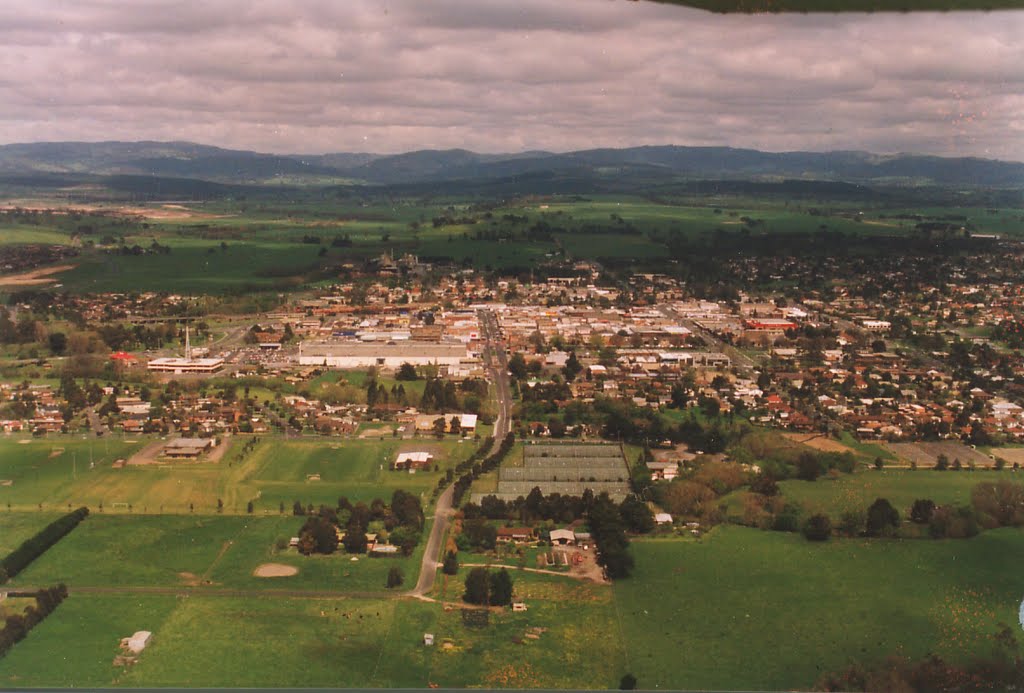
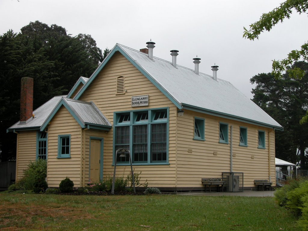
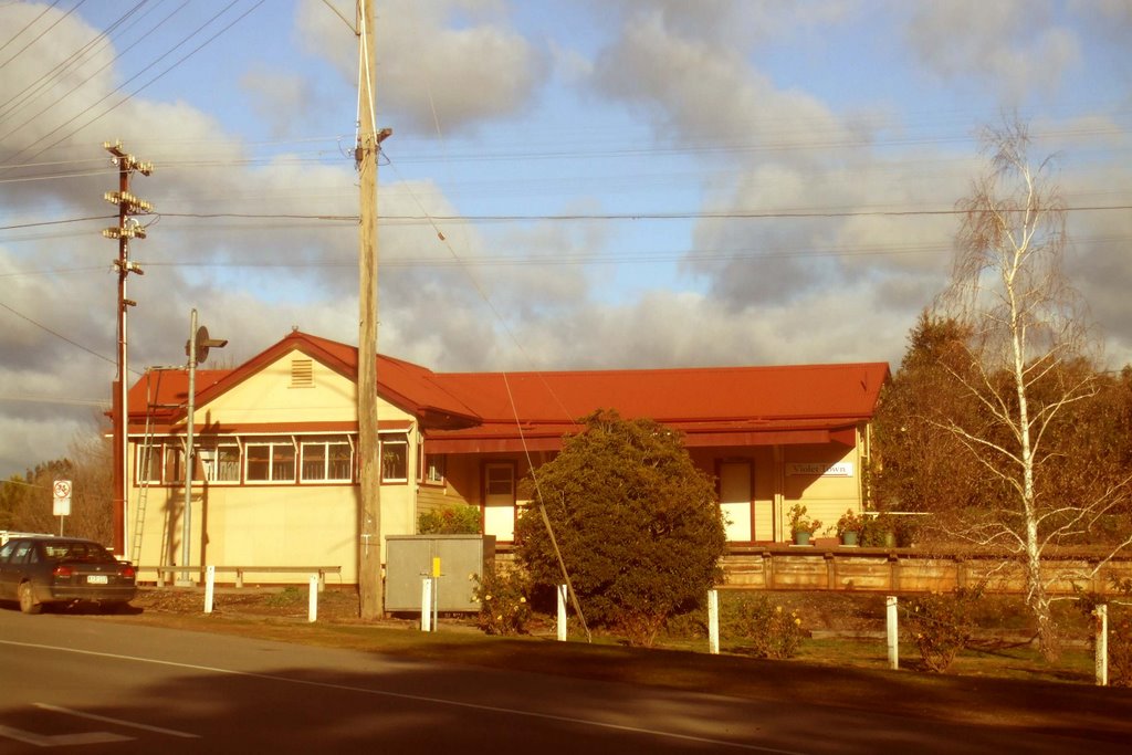
Photos of Glengarry
Glengarry Weather

Predicción: Light rain
Temperatura: 12.7°
Humedad: 91%
Hora actual: 12:52 AM
Amanece: 06:44 AM
Anochece: 05:41 PM
Earlston, Australia
Latitude: -36.5381 // Longitude: 145.668
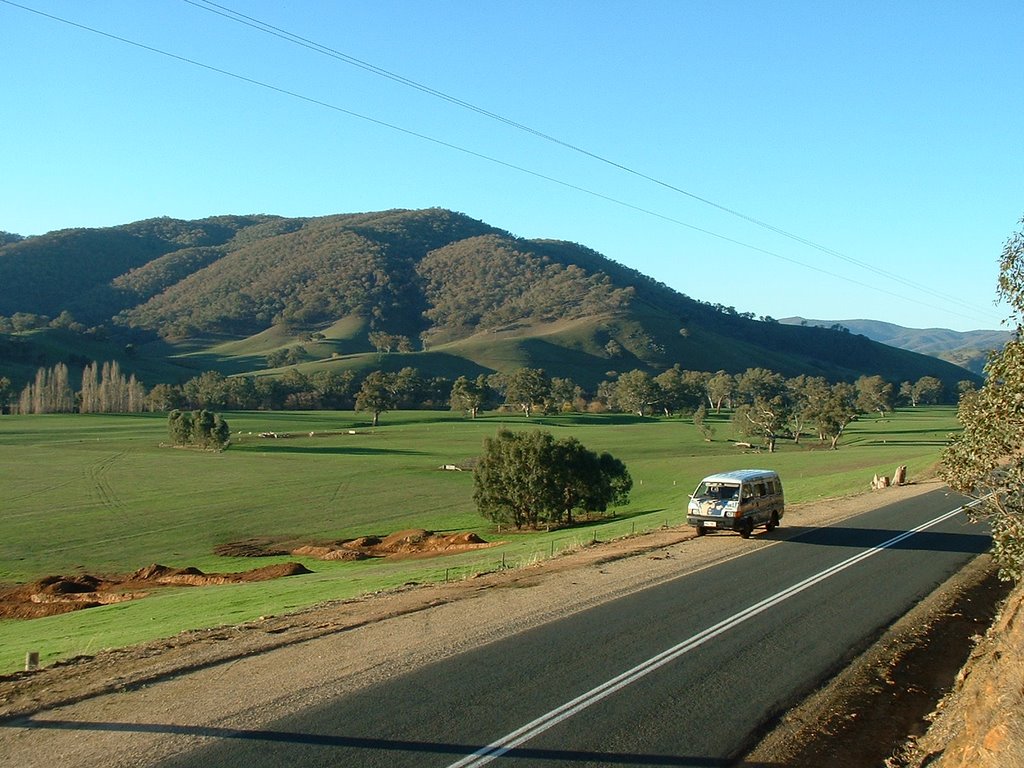
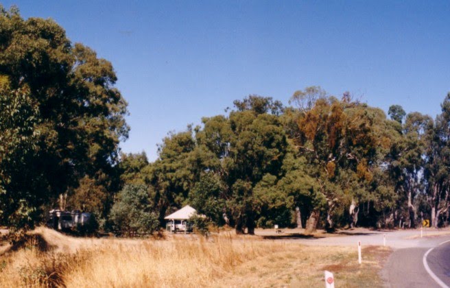
Photos of Earlston
Earlston Weather

Predicción: Overcast clouds
Temperatura: 11.7°
Humedad: 81%
Hora actual: 10:00 AM
Amanece: 06:46 AM
Anochece: 05:46 PM


