Distance between  Glenaroua and
  Moolap
79.23 mi Straight Distance
105.80 mi Driving Distance
2 hours 3 mins Estimated Driving Time
The straight distance between Glenaroua (Victoria) and Moolap (Victoria) is 79.23 mi, but the driving distance is 105.80 mi.
It takes to go from Glenaroua to Moolap.
Driving directions from Glenaroua to Moolap
Distance in kilometers
Straight distance: 127.48 km. Route distance: 170.24 km
Glenaroua, Australia
Latitude: -37.1112 // Longitude: 144.95
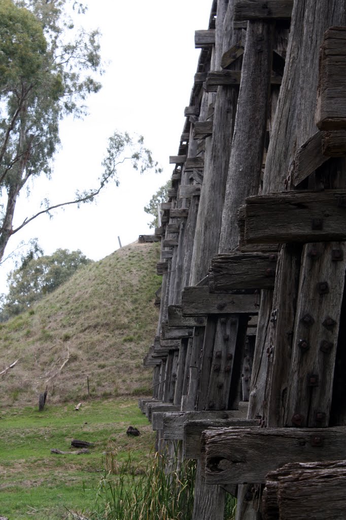
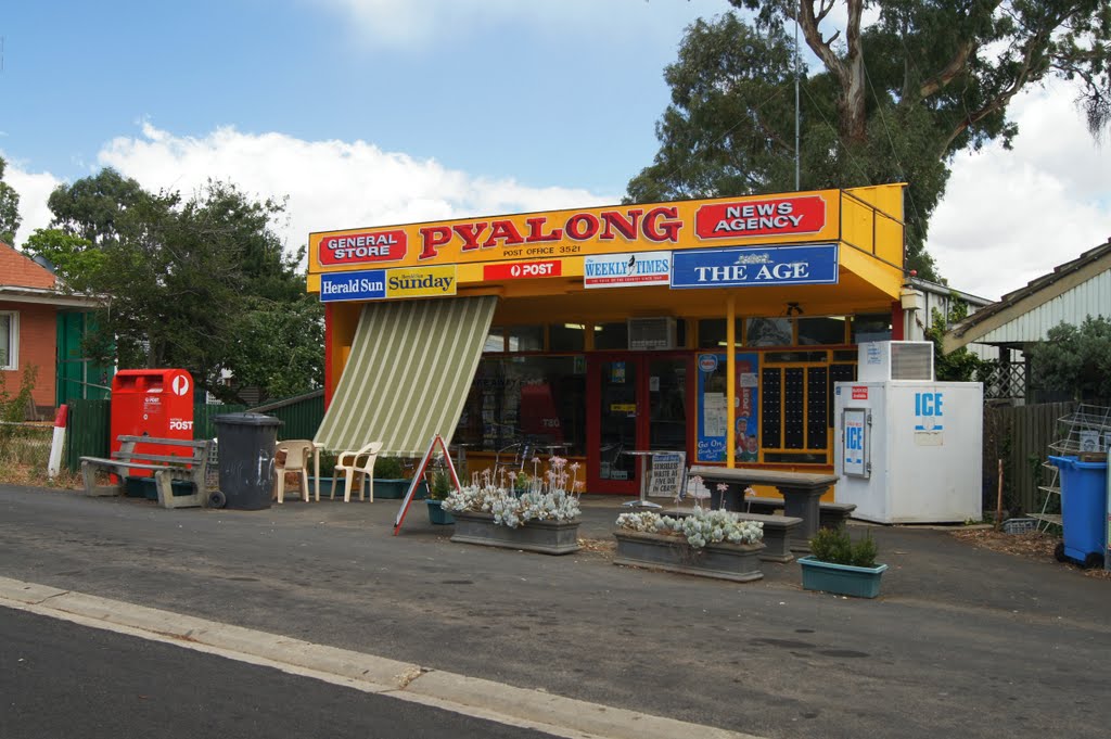
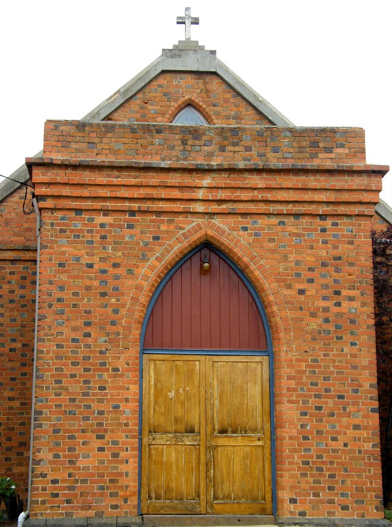
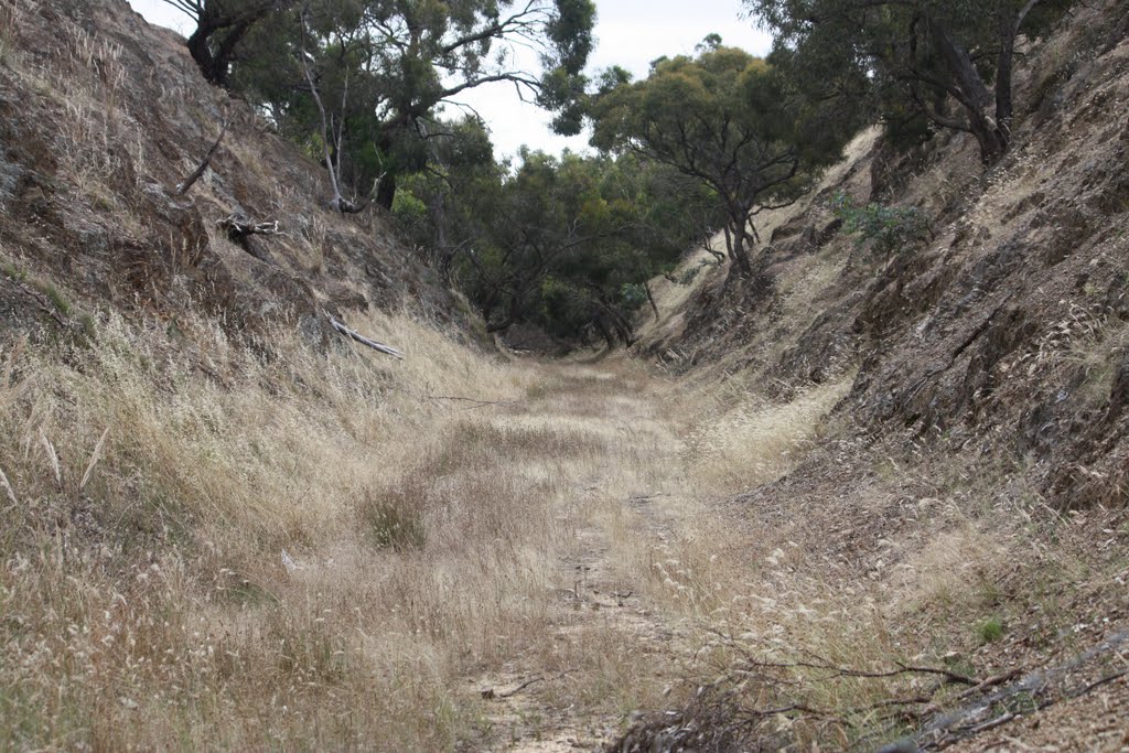
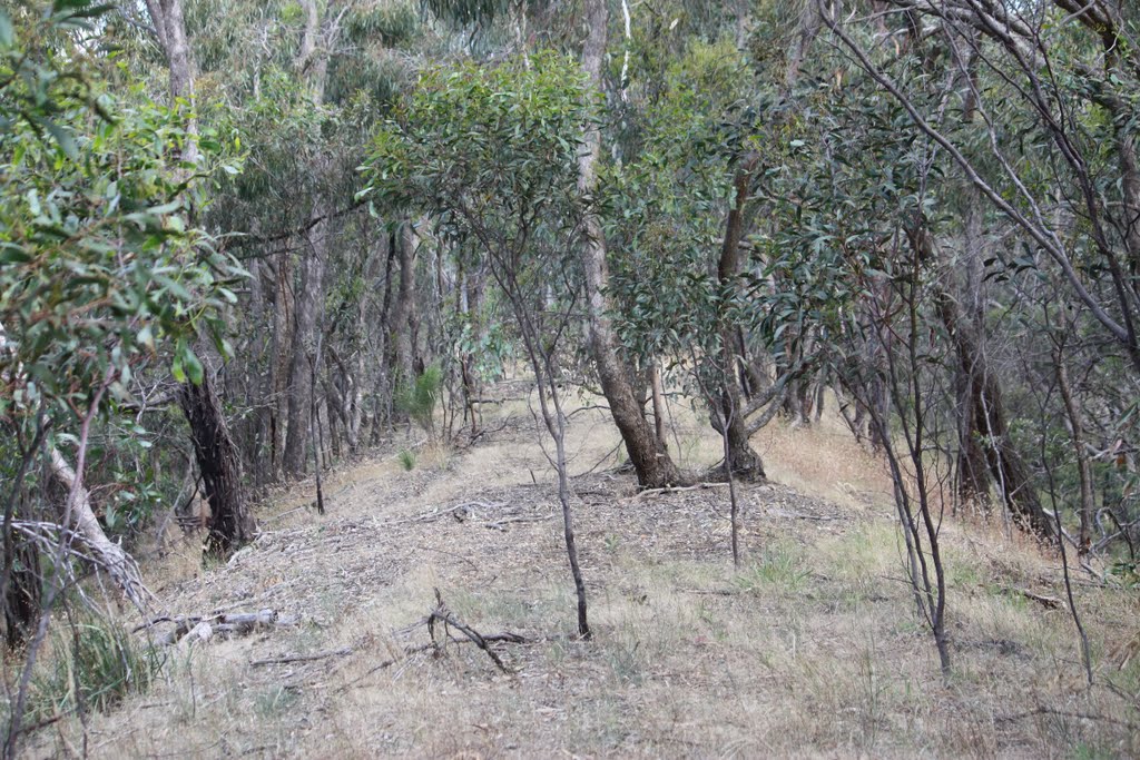
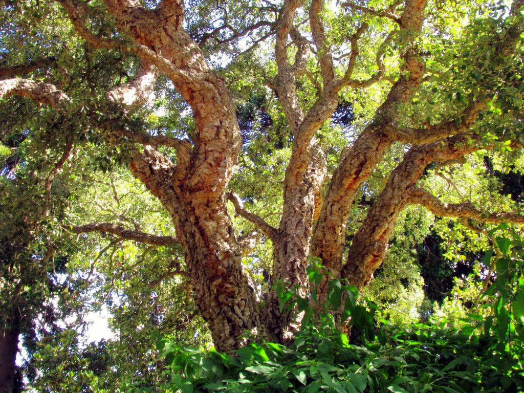
Photos of Glenaroua
Glenaroua Weather

Predicción: Light rain
Temperatura: 10.6°
Humedad: 92%
Hora actual: 12:00 AM
Amanece: 08:47 PM
Anochece: 07:52 AM
Moolap, Australia
Latitude: -38.1784 // Longitude: 144.42
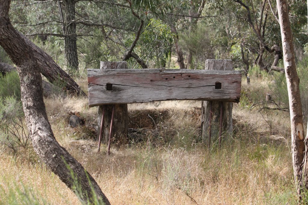
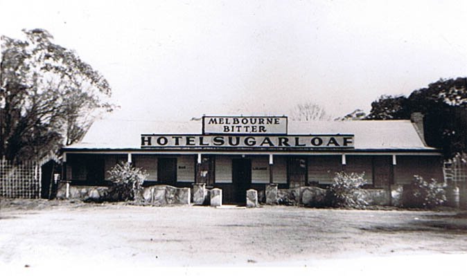
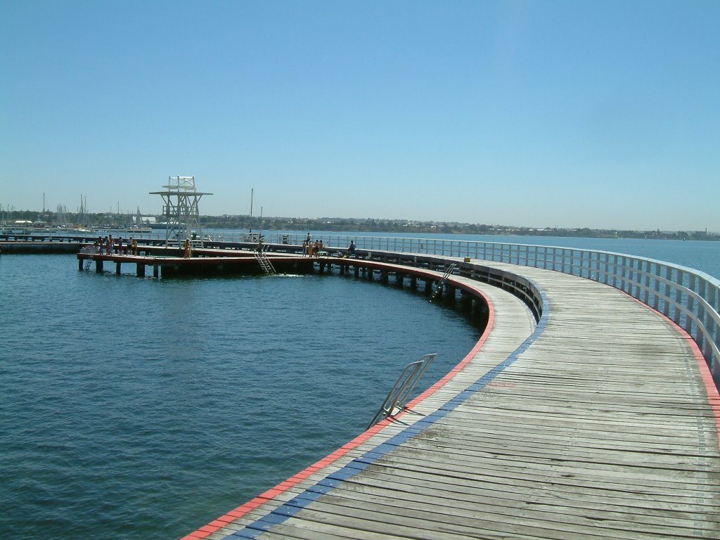
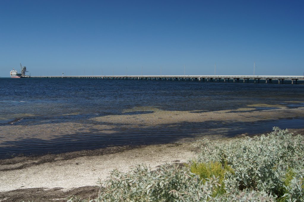
Photos of Moolap
Moolap Weather

Predicción: Light rain
Temperatura: 11.1°
Humedad: 96%
Hora actual: 06:38 AM
Amanece: 06:51 AM
Anochece: 05:52 PM


