Distance between  Glenaladale and
  Staceys Bridge
70.21 mi Straight Distance
93.41 mi Driving Distance
1 hour 57 mins Estimated Driving Time
The straight distance between Glenaladale (Victoria) and Staceys Bridge (Victoria) is 70.21 mi, but the driving distance is 93.41 mi.
It takes 1 hour 44 mins to go from Glenaladale to Staceys Bridge.
Driving directions from Glenaladale to Staceys Bridge
Distance in kilometers
Straight distance: 112.97 km. Route distance: 150.30 km
Glenaladale, Australia
Latitude: -37.7677 // Longitude: 147.322
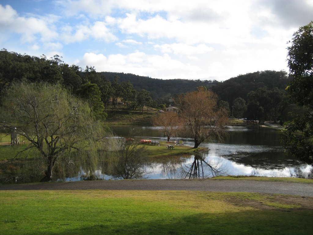
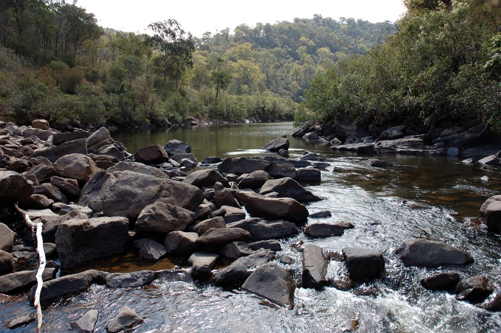
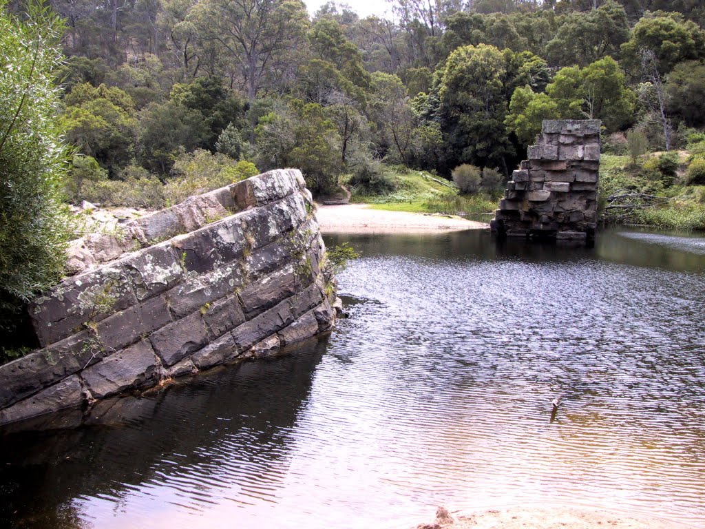
Photos of Glenaladale
Glenaladale Weather

Predicción: Overcast clouds
Temperatura: 12.3°
Humedad: 94%
Hora actual: 12:00 AM
Amanece: 08:38 PM
Anochece: 07:41 AM
Staceys Bridge, Australia
Latitude: -38.5608 // Longitude: 146.514
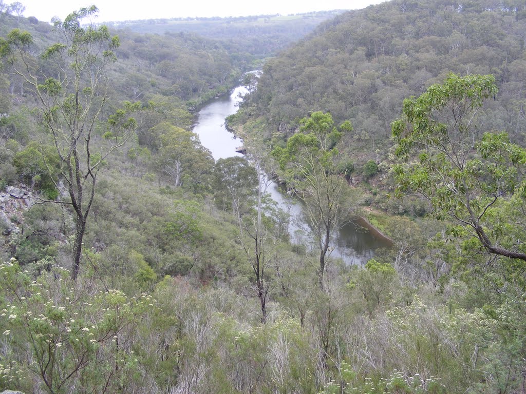
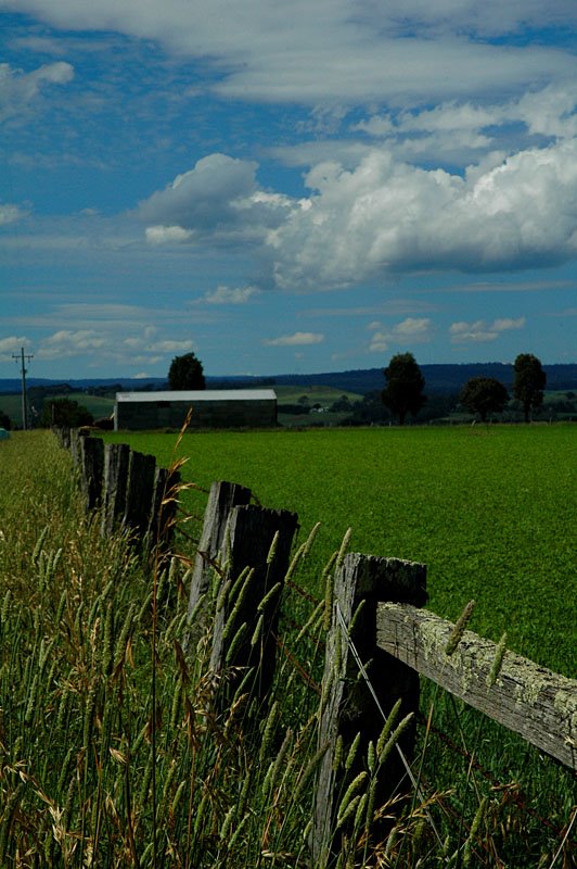
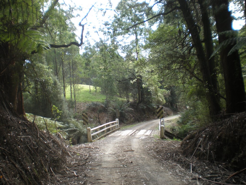
Photos of Staceys Bridge
Staceys Bridge Weather

Predicción: Overcast clouds
Temperatura: 14.7°
Humedad: 66%
Hora actual: 12:00 AM
Amanece: 08:42 PM
Anochece: 07:44 AM


