Distance between  Glenaire and
  Chapel Flat
93.17 mi Straight Distance
121.18 mi Driving Distance
3 hours 6 mins Estimated Driving Time
The straight distance between Glenaire (Victoria) and Chapel Flat (Victoria) is 93.17 mi, but the driving distance is 121.18 mi.
It takes to go from Glenaire to Chapel Flat.
Driving directions from Glenaire to Chapel Flat
Distance in kilometers
Straight distance: 149.91 km. Route distance: 194.97 km
Glenaire, Australia
Latitude: -38.7768 // Longitude: 143.432
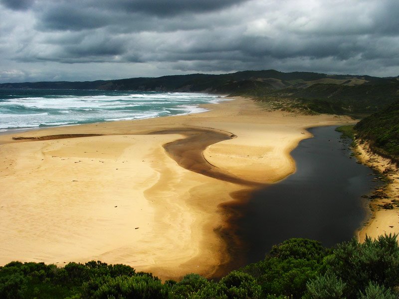
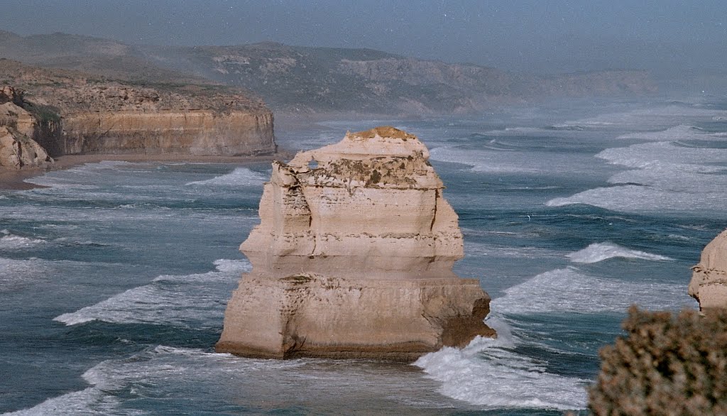
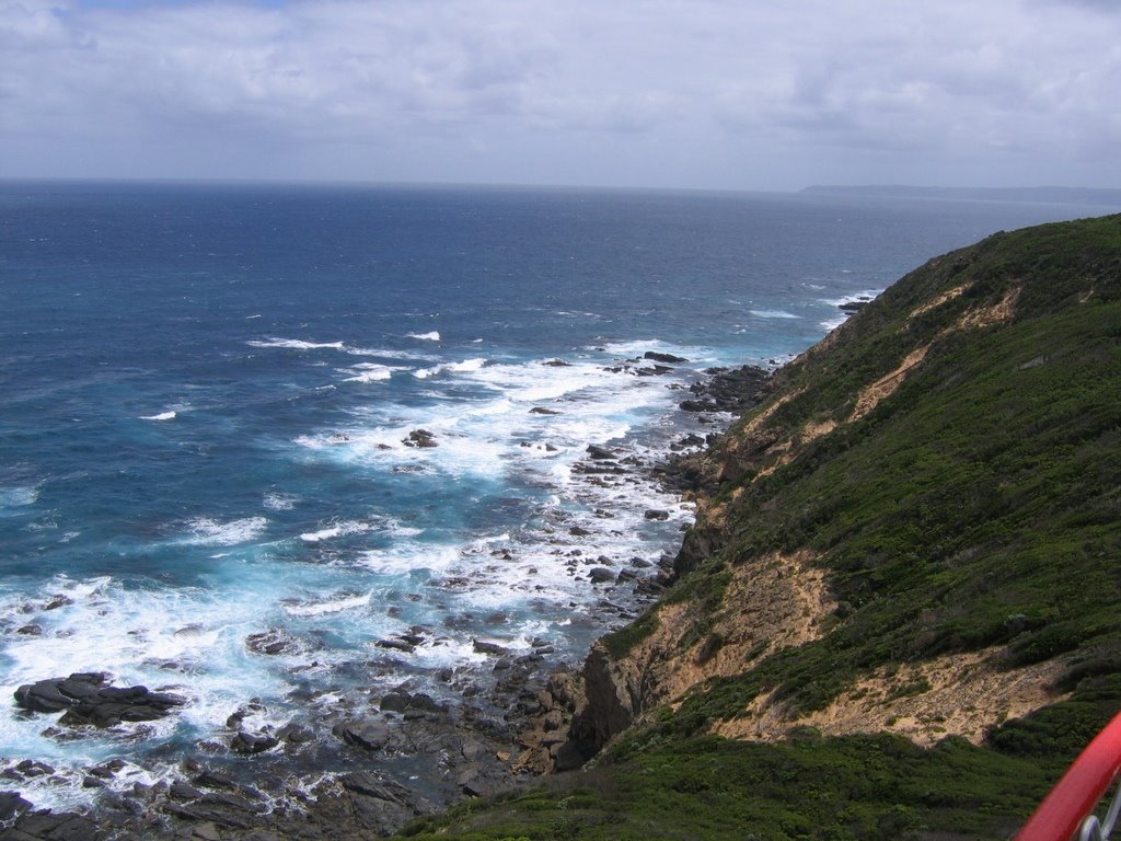
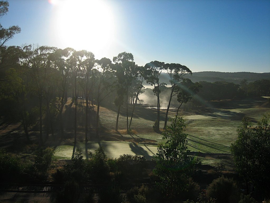
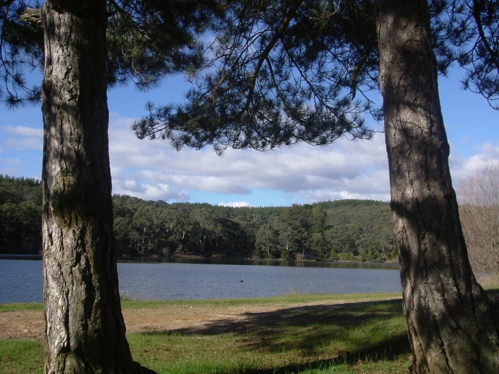
Photos of Glenaire
Glenaire Weather

Predicción: Overcast clouds
Temperatura: 12.5°
Humedad: 96%
Hora actual: 12:00 AM
Amanece: 08:57 PM
Anochece: 07:53 AM
Chapel Flat, Australia
Latitude: -37.4789 // Longitude: 143.897
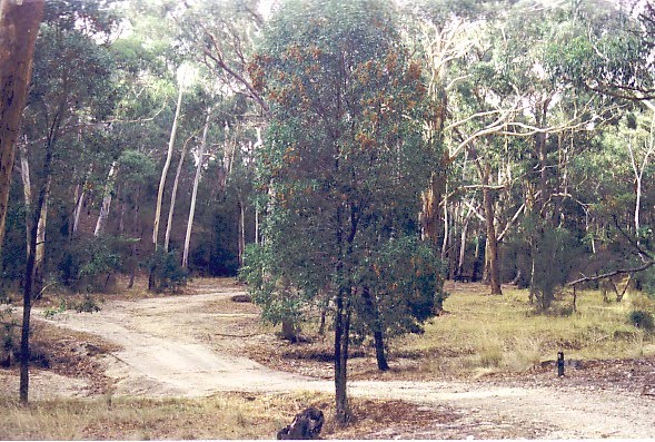
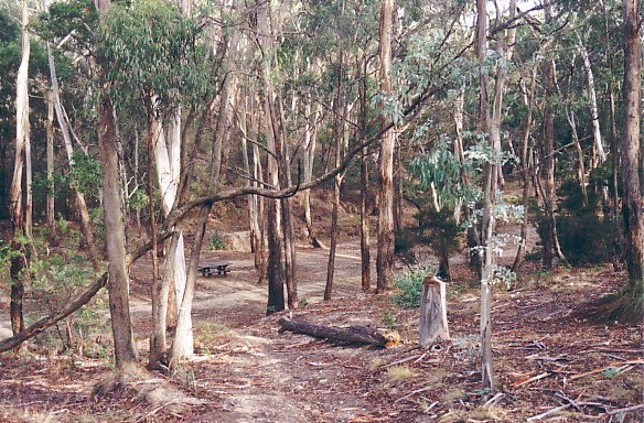
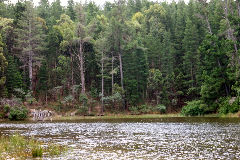
Photos of Chapel Flat
Chapel Flat Weather

Predicción: Overcast clouds
Temperatura: 11.4°
Humedad: 75%
Hora actual: 11:57 AM
Amanece: 06:53 AM
Anochece: 05:53 PM


