Distance between  Glen Innes and
  Bell
Bell
194.62 mi Straight Distance
255.24 mi Driving Distance
4 hours 33 mins Estimated Driving Time
The straight distance between Glen Innes (New South Wales) and Bell (Queensland) is 194.62 mi, but the driving distance is 255.24 mi.
It takes 7 hours 17 mins to go from Glen Innes to Bell.
Driving directions from Glen Innes to Bell
Distance in kilometers
Straight distance: 313.14 km. Route distance: 410.68 km
Glen Innes, Australia
Latitude: -29.7377 // Longitude: 151.74
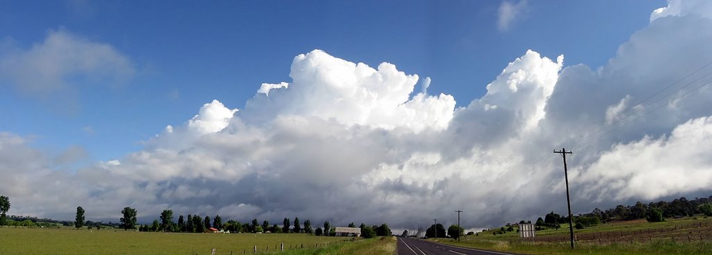
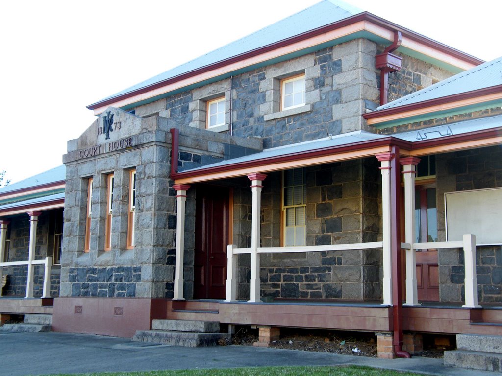
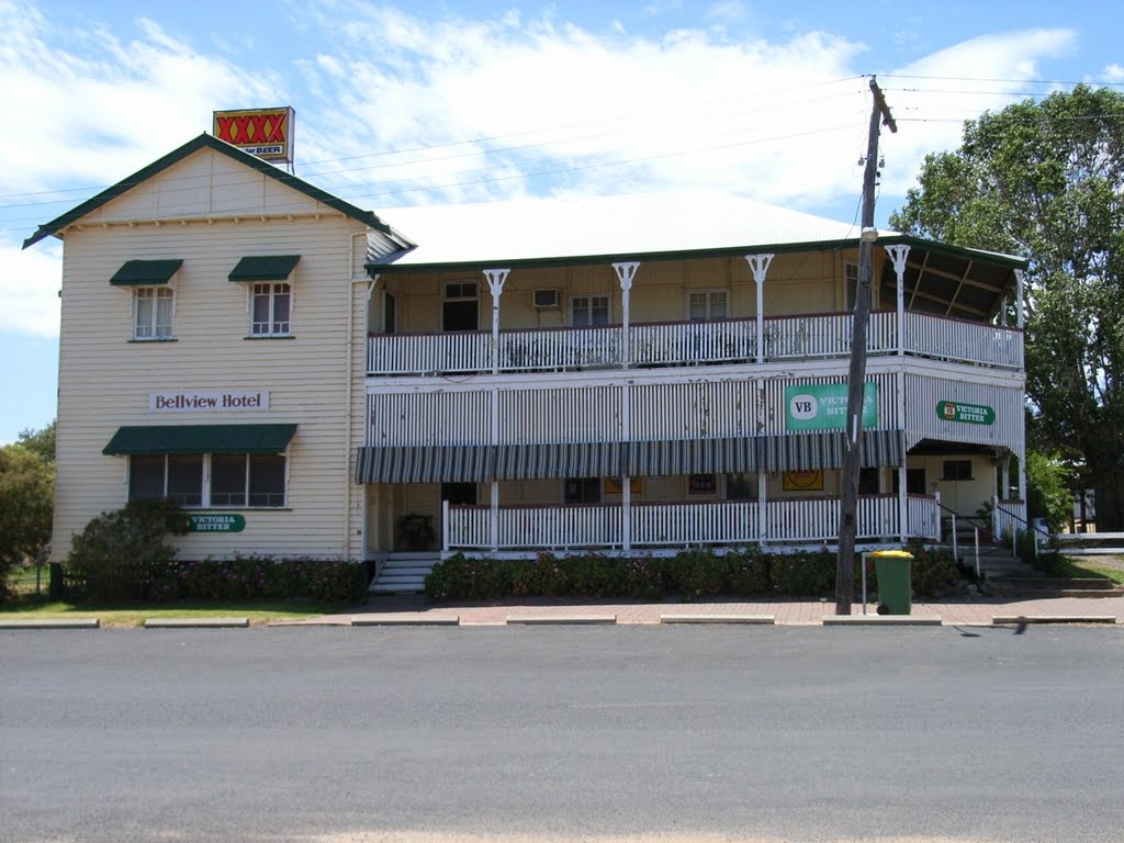
Photos of Glen Innes
Glen Innes Weather

Predicción: Clear sky
Temperatura: 15.6°
Humedad: 52%
Hora actual: 09:52 AM
Amanece: 06:14 AM
Anochece: 05:29 PM
Bell, Australia
Latitude: -26.9326 // Longitude: 151.449
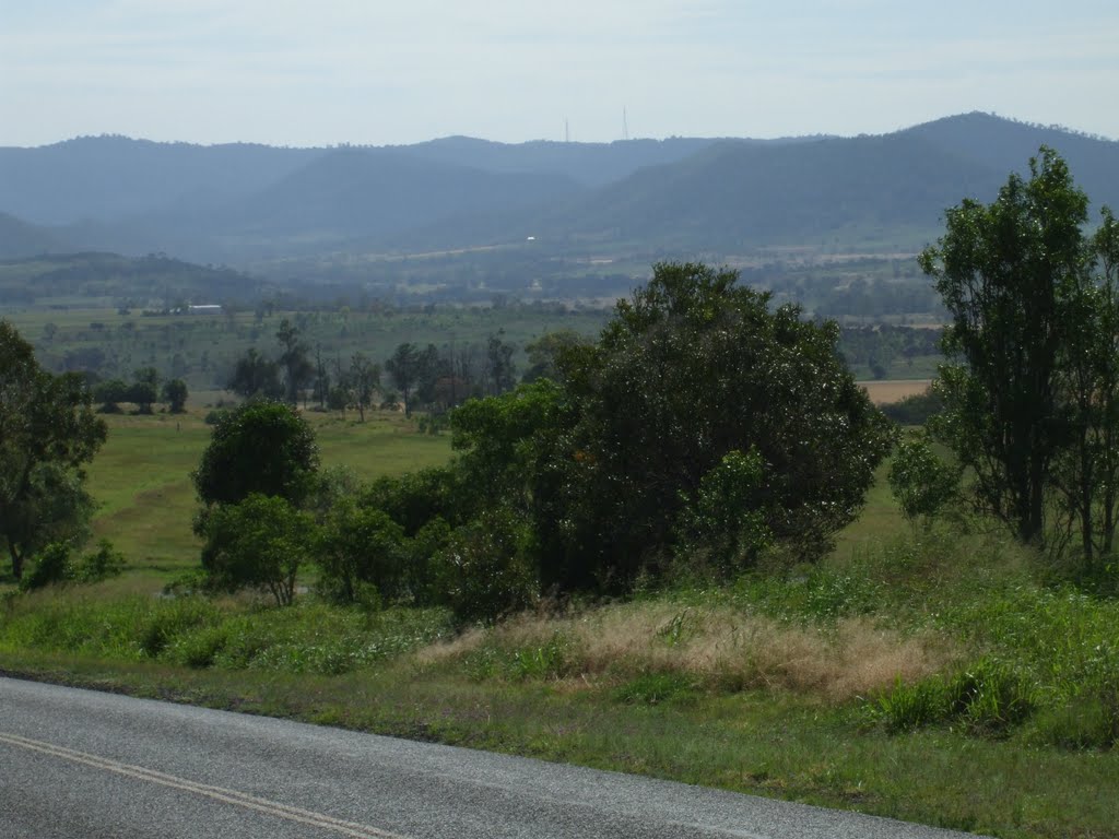
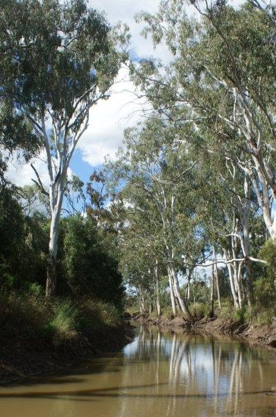
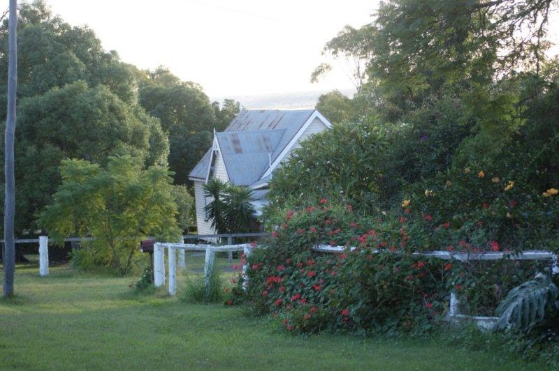
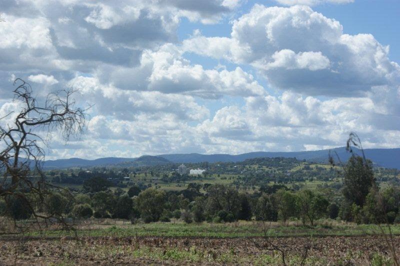
Photos of Bell
Bell Weather

Predicción: Clear sky
Temperatura: 21.5°
Humedad: 54%
Hora actual: 10:00 AM
Amanece: 06:12 AM
Anochece: 05:33 PM


