Distance between  Gladstone and
  Cook
Cook
500.44 mi Straight Distance
639.88 mi Driving Distance
11 hours 15 mins Estimated Driving Time
The straight distance between Gladstone (South Australia) and Cook (South Australia) is 500.44 mi, but the driving distance is 639.88 mi.
It takes to go from Gladstone to Cook.
Driving directions from Gladstone to Cook
Distance in kilometers
Straight distance: 805.21 km. Route distance: 1,029.57 km
Gladstone, Australia
Latitude: -33.2693 // Longitude: 138.357
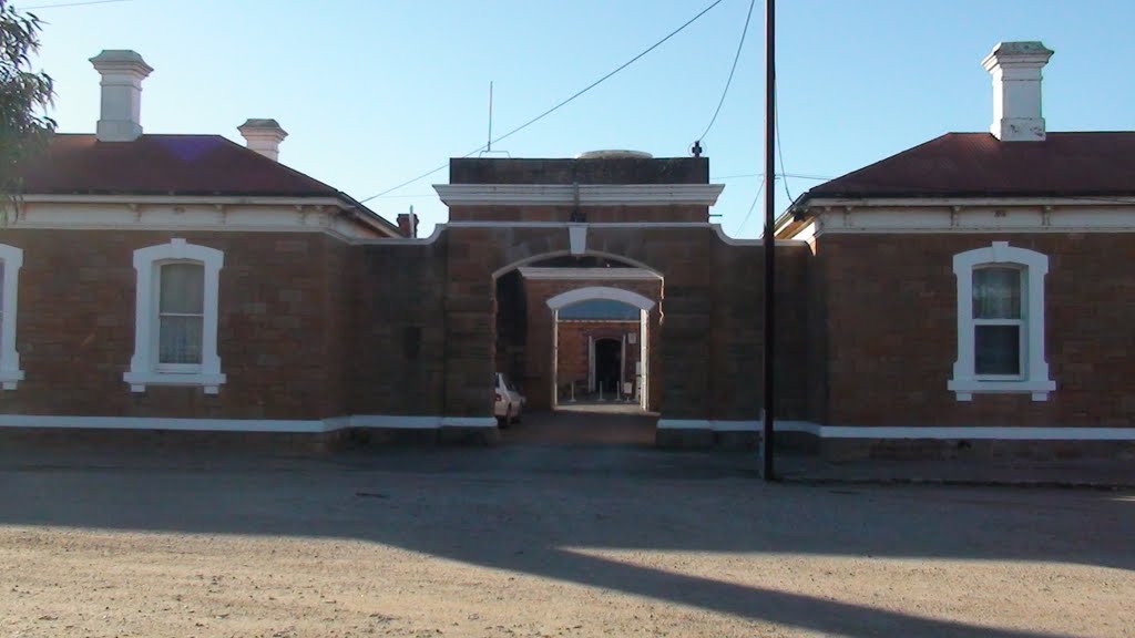
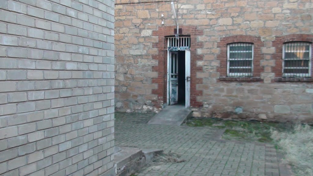
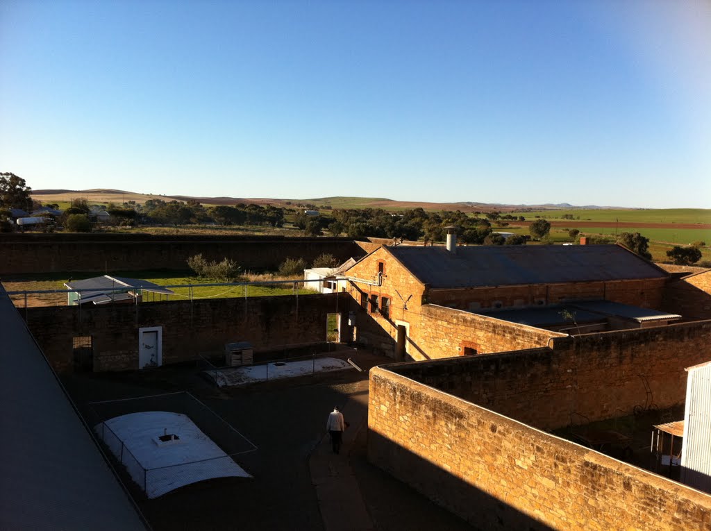
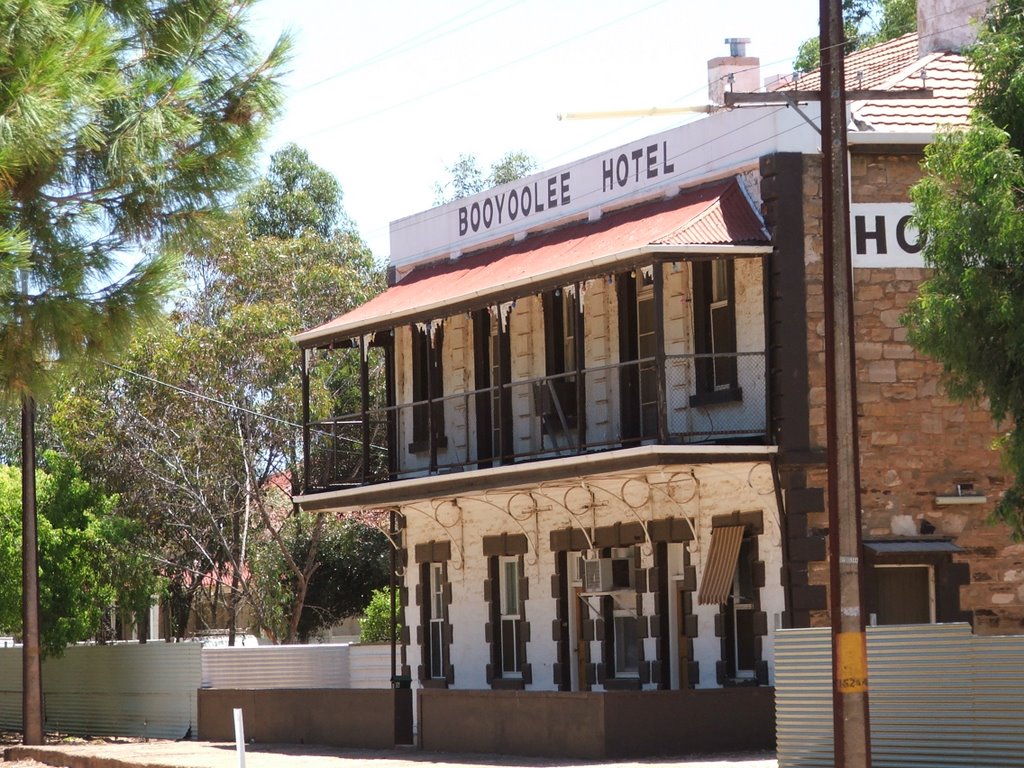
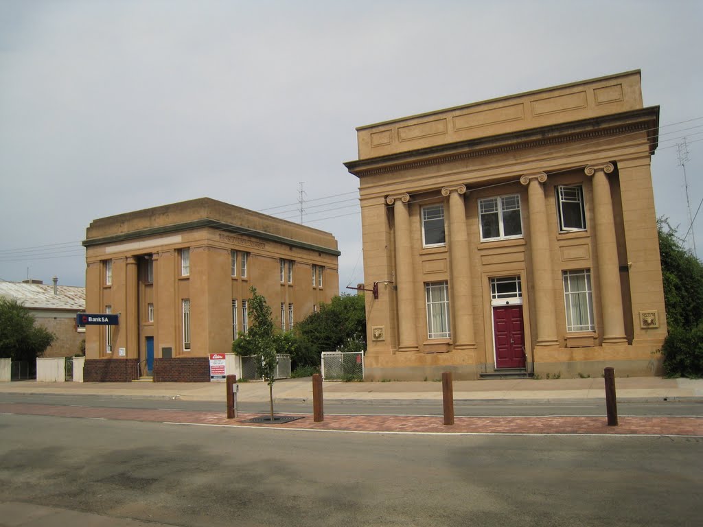
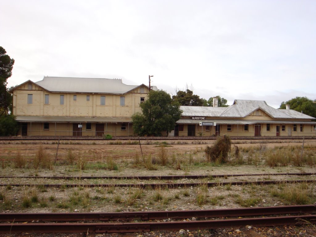
Photos of Gladstone
Gladstone Weather

Predicción: Overcast clouds
Temperatura: 14.4°
Humedad: 81%
Hora actual: 08:20 AM
Amanece: 06:41 AM
Anochece: 05:49 PM
Cook, Australia
Latitude: -30.6131 // Longitude: 130.413
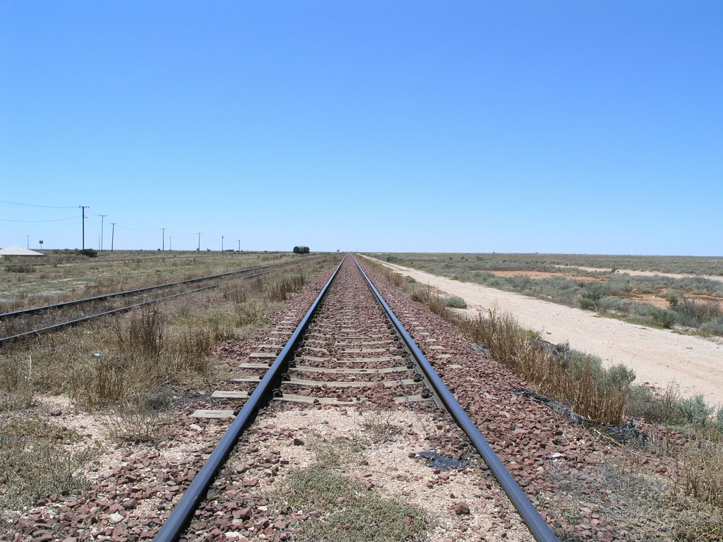
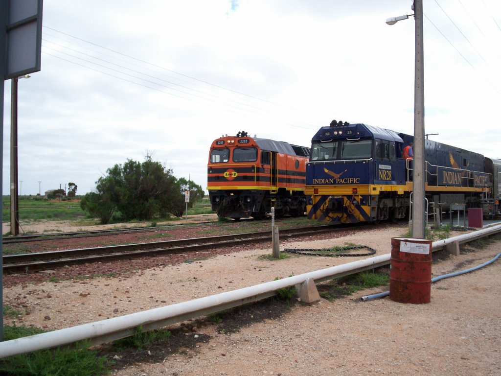
Photos of Cook
Cook Weather

Predicción: Clear sky
Temperatura: 14.1°
Humedad: 78%
Hora actual: 09:30 AM
Amanece: 07:10 AM
Anochece: 06:24 PM


