Distance between  Gladstone and
  Coffin Bay
189.96 mi Straight Distance
306.04 mi Driving Distance
4 hours 42 mins Estimated Driving Time
The straight distance between Gladstone (South Australia) and Coffin Bay (South Australia) is 189.96 mi, but the driving distance is 306.04 mi.
It takes 1 day 4 hours to go from Gladstone to Coffin Bay.
Driving directions from Gladstone to Coffin Bay
Distance in kilometers
Straight distance: 305.65 km. Route distance: 492.41 km
Gladstone, Australia
Latitude: -33.2693 // Longitude: 138.357
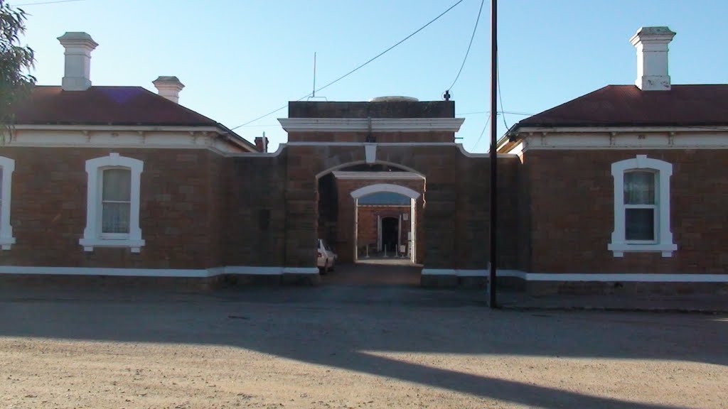
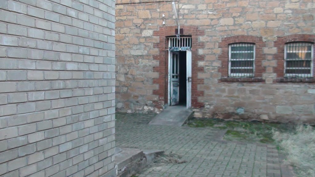
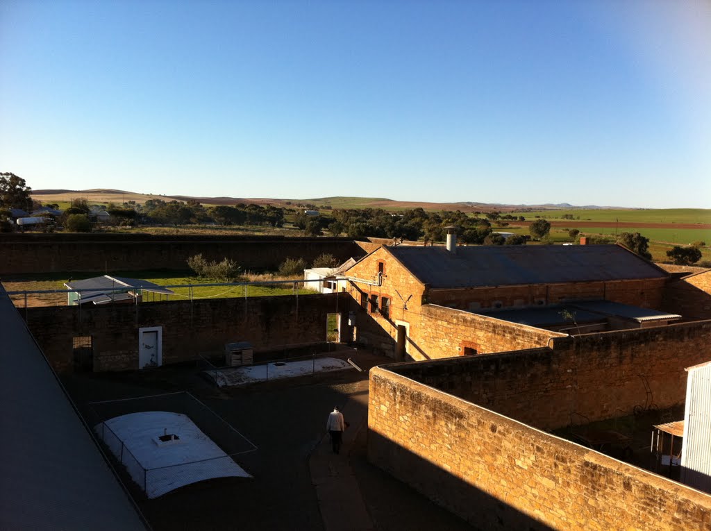
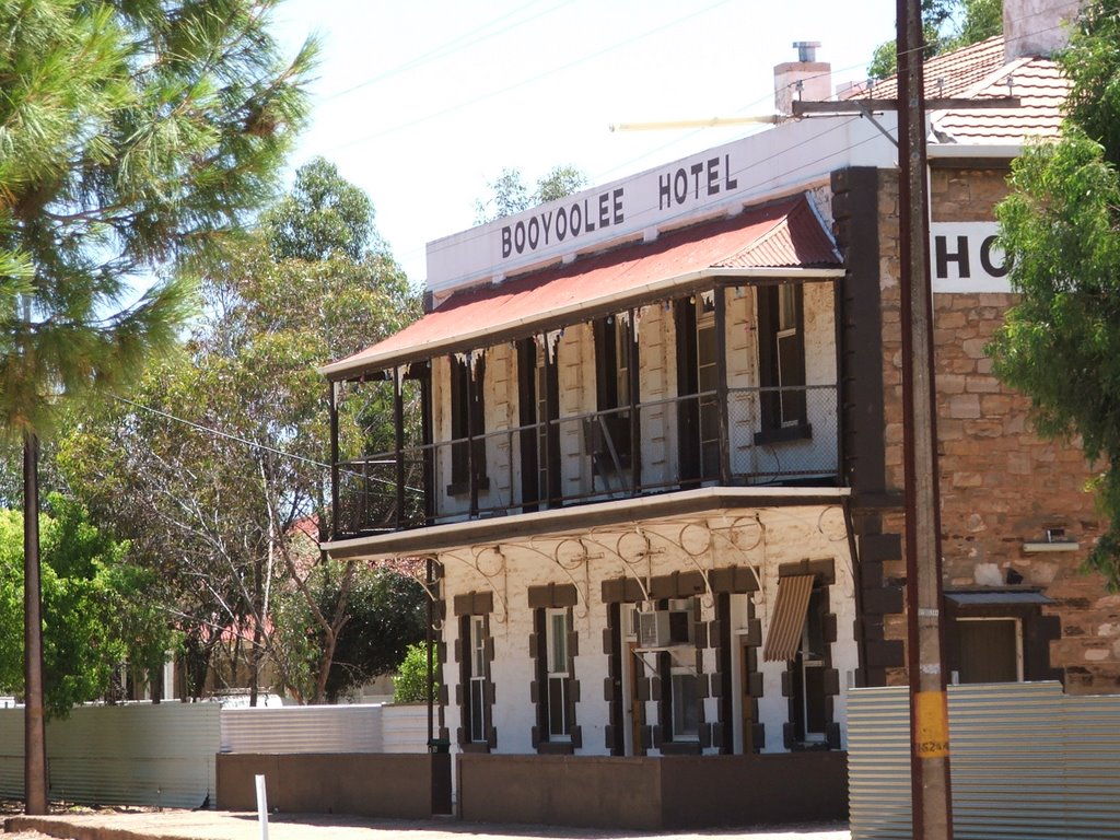
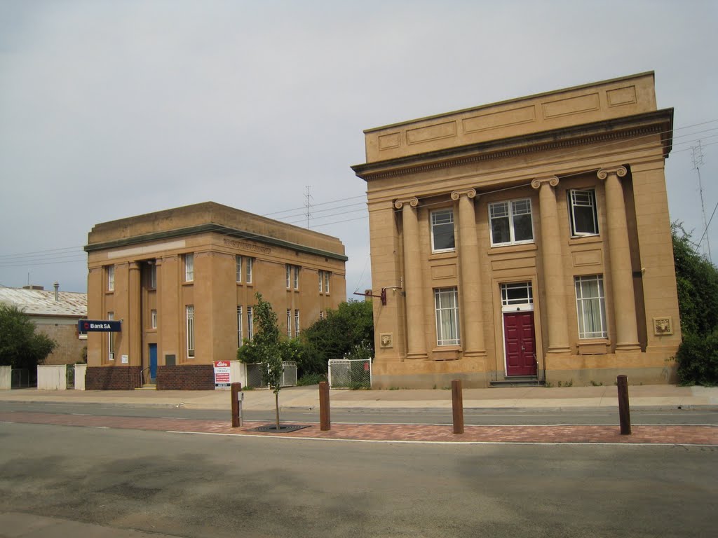
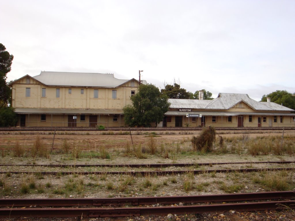
Photos of Gladstone
Gladstone Weather

Predicción: Overcast clouds
Temperatura: 14.4°
Humedad: 81%
Hora actual: 08:32 AM
Amanece: 06:41 AM
Anochece: 05:49 PM
Coffin Bay, Australia
Latitude: -34.6228 // Longitude: 135.472
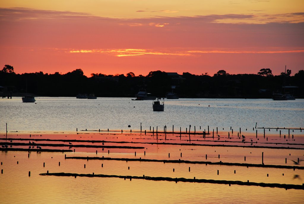
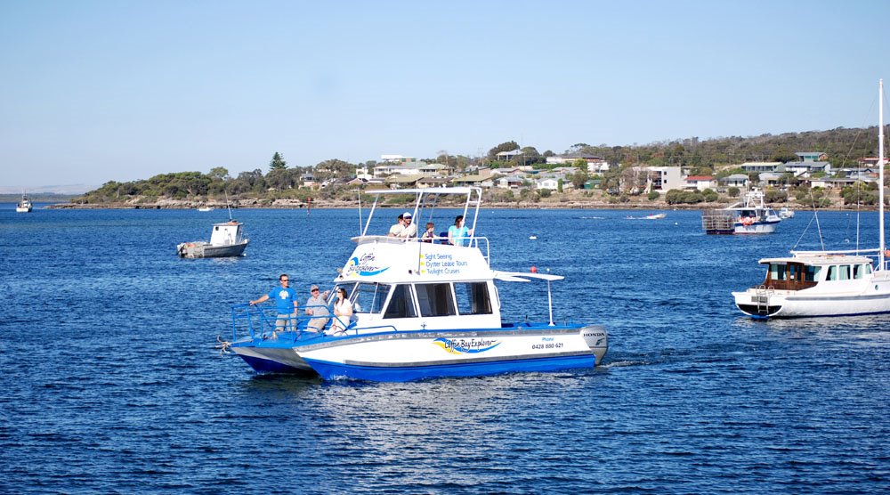
Photos of Coffin Bay
Coffin Bay Weather

Predicción: Broken clouds
Temperatura: 15.6°
Humedad: 67%
Hora actual: 09:30 AM
Amanece: 06:54 AM
Anochece: 05:59 PM


