Distance between  Giru and
  Boyne Island
410.01 mi Straight Distance
501.90 mi Driving Distance
9 hours 26 mins Estimated Driving Time
The straight distance between Giru (Queensland) and Boyne Island (Queensland) is 410.01 mi, but the driving distance is 501.90 mi.
It takes 8 hours 59 mins to go from Giru to Boyne Island.
Driving directions from Giru to Boyne Island
Distance in kilometers
Straight distance: 659.71 km. Route distance: 807.55 km
Giru, Australia
Latitude: -19.5131 // Longitude: 147.107
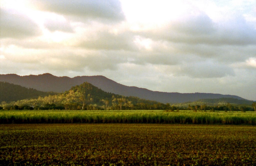
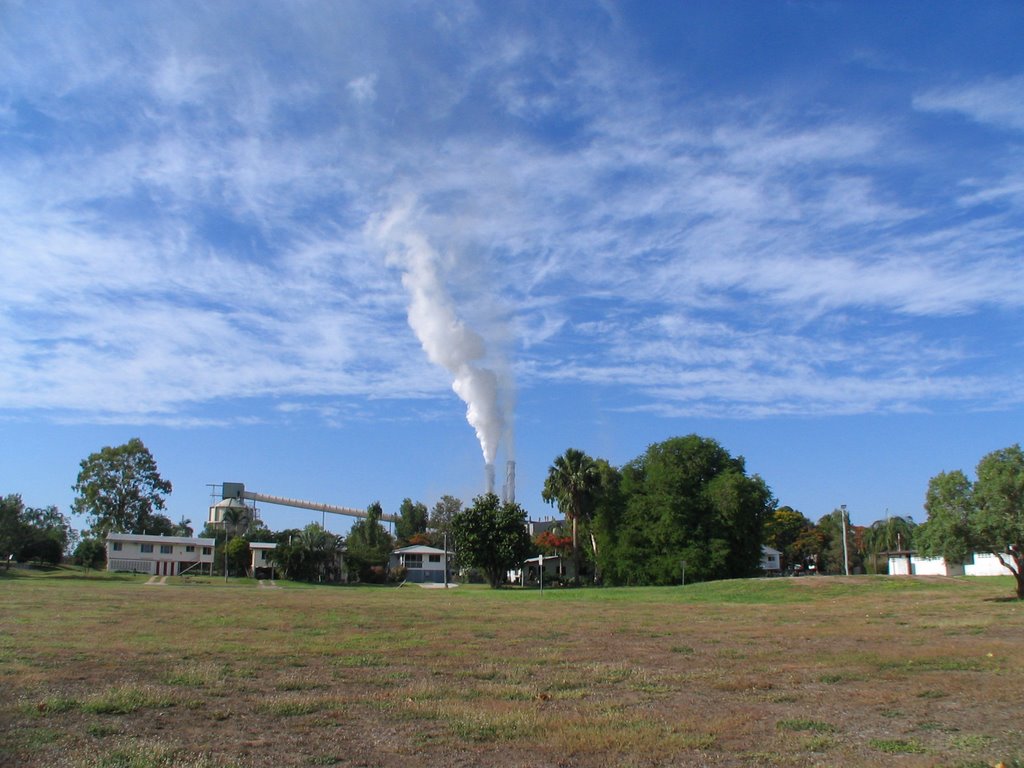
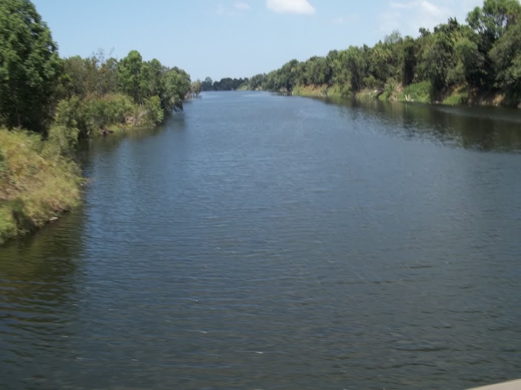
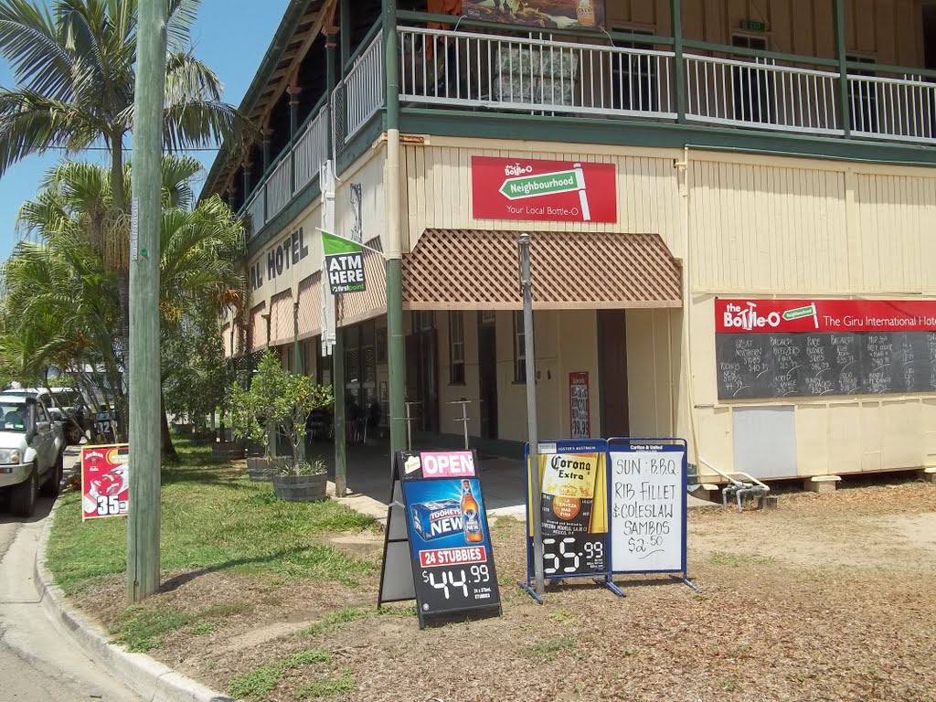
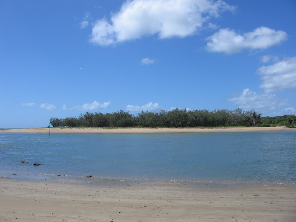
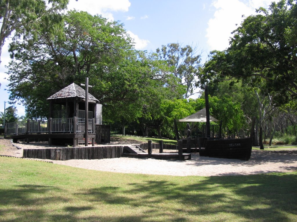
Photos of Giru
Giru Weather

Predicción: Broken clouds
Temperatura: 28.4°
Humedad: 67%
Hora actual: 12:00 AM
Amanece: 08:22 PM
Anochece: 07:59 AM
Boyne Island, Australia
Latitude: -23.9482 // Longitude: 151.353
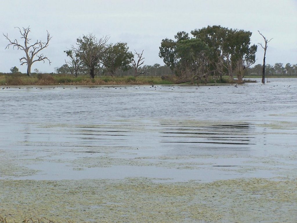
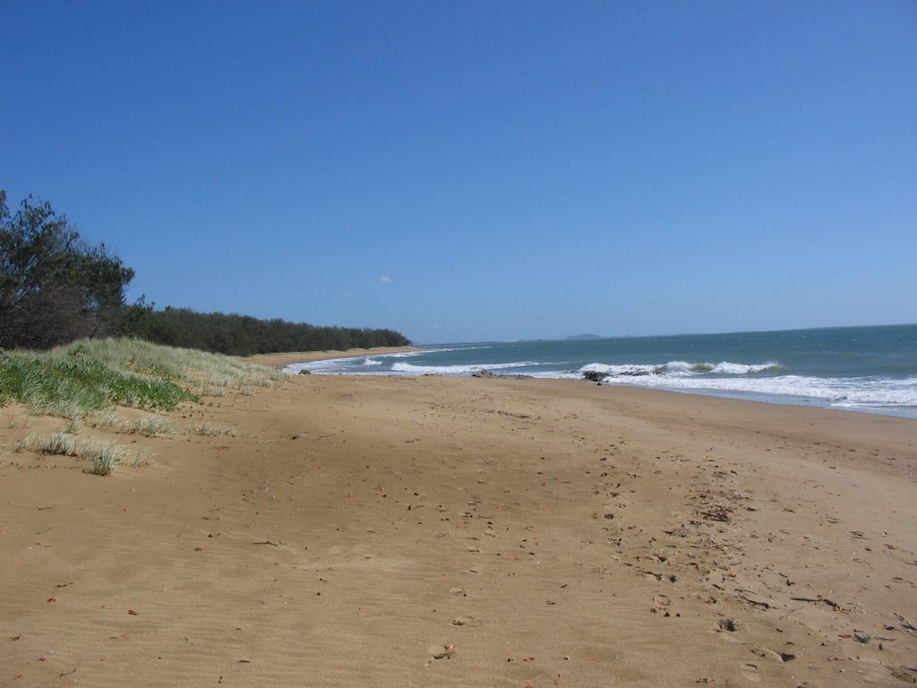
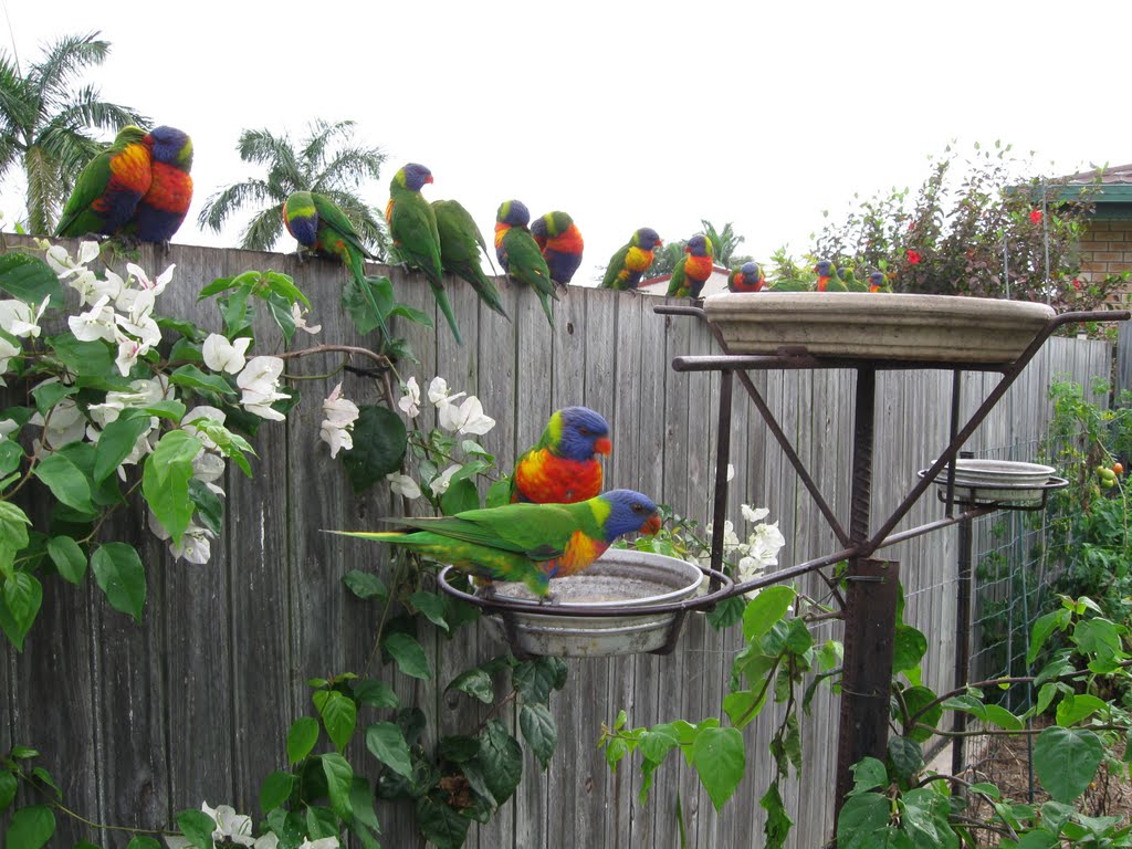
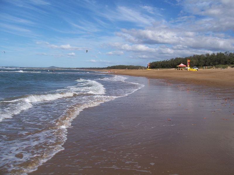
Photos of Boyne Island
Boyne Island Weather

Predicción: Overcast clouds
Temperatura: 22.0°
Humedad: 88%
Hora actual: 09:49 AM
Amanece: 06:09 AM
Anochece: 05:38 PM


