
Distance between  Girgarre East and
  Dookie College
35.70 mi Straight Distance
42.01 mi Driving Distance
55 minutes Estimated Driving Time
The straight distance between Girgarre East (Victoria) and Dookie College (Victoria) is 35.70 mi, but the driving distance is 42.01 mi.
It takes to go from Girgarre East to Dookie College.
Driving directions from Girgarre East to Dookie College
Distance in kilometers
Straight distance: 57.44 km. Route distance: 67.60 km
Girgarre East, Australia
Latitude: -36.4549 // Longitude: 145.068
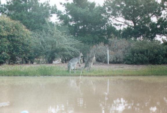
Photos of Girgarre East


Girgarre East Weather

Predicción: Clear sky
Temperatura: 16.6°
Humedad: 50%
Hora actual: 10:58 AM
Amanece: 06:48 AM
Anochece: 05:49 PM
Dookie College, Australia
Latitude: -36.3962 // Longitude: 145.706
Photos of Dookie College


Dookie College Weather
Predicción: Clear sky
Temperatura: 18.2°
Humedad: 42%
Hora actual: 10:00 AM
Amanece: 06:45 AM
Anochece: 05:46 PM


