Distance between  Gipsy Point and
  Rhyll
Rhyll
247.76 mi Straight Distance
321.85 mi Driving Distance
5 hours 27 mins Estimated Driving Time
The straight distance between Gipsy Point (Victoria) and Rhyll (Victoria) is 247.76 mi, but the driving distance is 321.85 mi.
It takes to go from Gipsy Point to Rhyll.
Driving directions from Gipsy Point to Rhyll
Distance in kilometers
Straight distance: 398.64 km. Route distance: 517.86 km
Gipsy Point, Australia
Latitude: -37.4805 // Longitude: 149.679
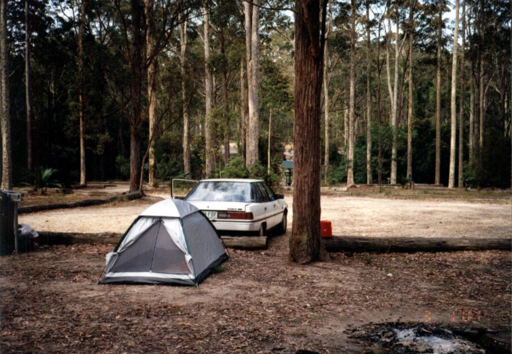
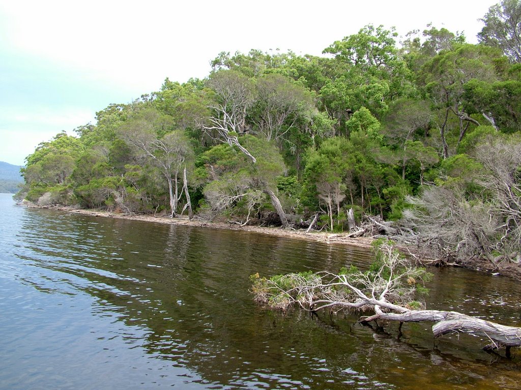
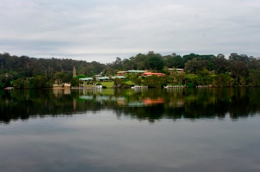
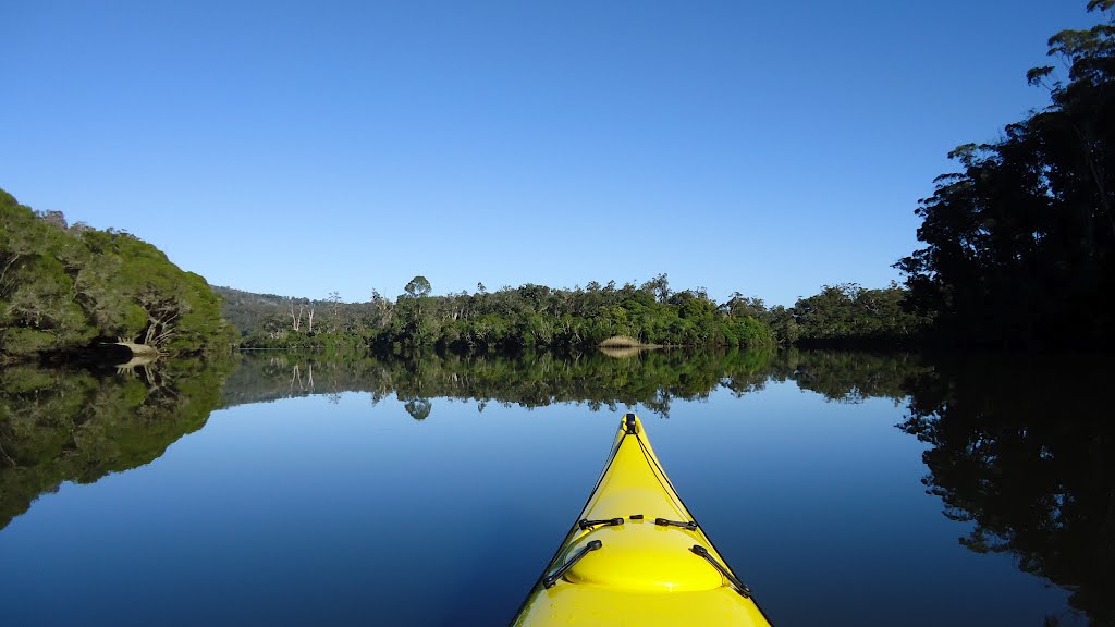
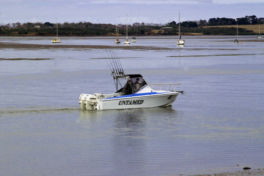
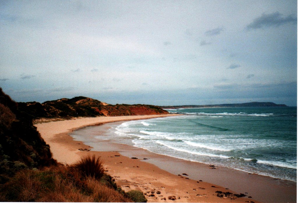
Photos of Gipsy Point
Gipsy Point Weather

Predicción: Overcast clouds
Temperatura: 17.1°
Humedad: 65%
Hora actual: 12:00 AM
Amanece: 08:29 PM
Anochece: 07:32 AM
Rhyll, Australia
Latitude: -38.4637 // Longitude: 145.304
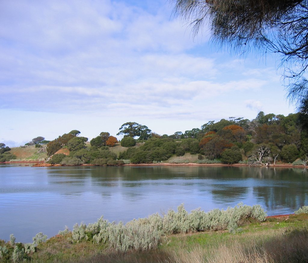
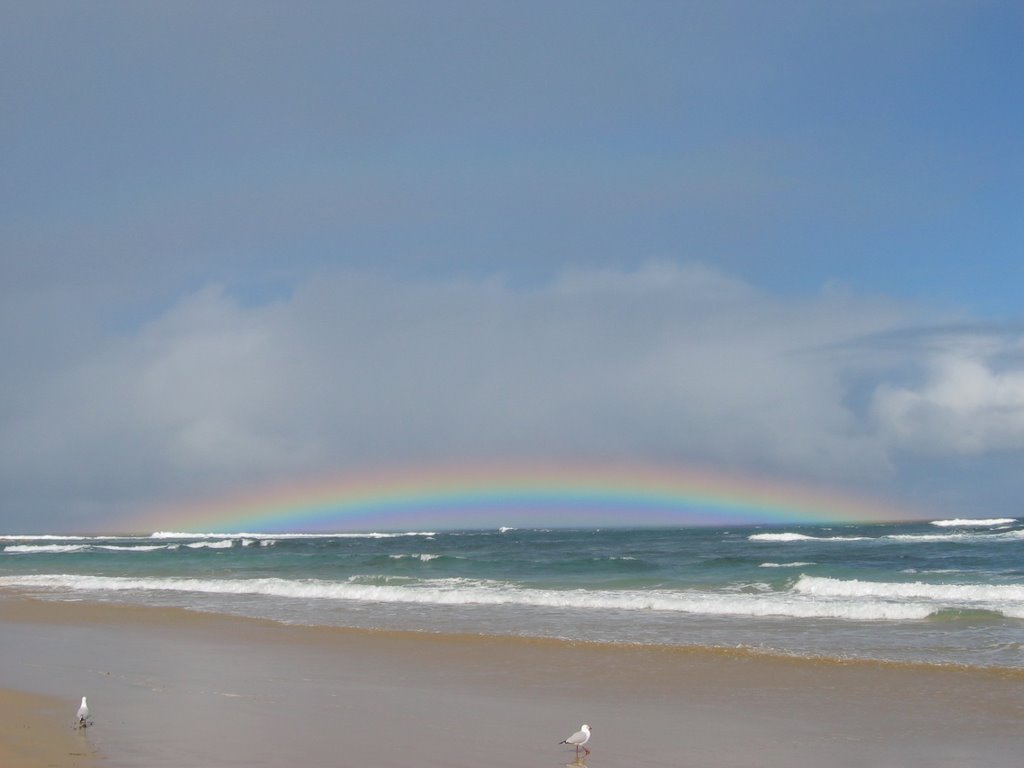
Photos of Rhyll
Rhyll Weather

Predicción: Overcast clouds
Temperatura: 17.2°
Humedad: 71%
Hora actual: 04:26 PM
Amanece: 06:47 AM
Anochece: 05:49 PM


