Distance between  Gherang and
  Bullaharre
51.95 mi Straight Distance
71.84 mi Driving Distance
1 hour 38 mins Estimated Driving Time
The straight distance between Gherang (Victoria) and Bullaharre (Victoria) is 51.95 mi, but the driving distance is 71.84 mi.
It takes to go from Gherang to Bullaharre.
Driving directions from Gherang to Bullaharre
Distance in kilometers
Straight distance: 83.58 km. Route distance: 115.59 km
Gherang, Australia
Latitude: -38.3094 // Longitude: 144.103
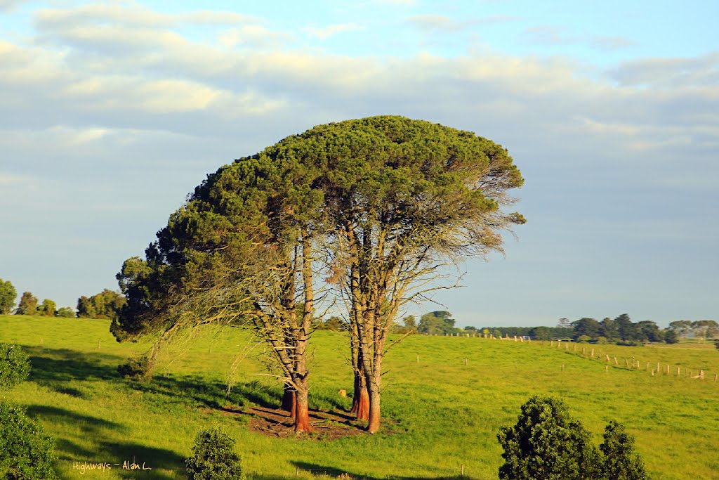
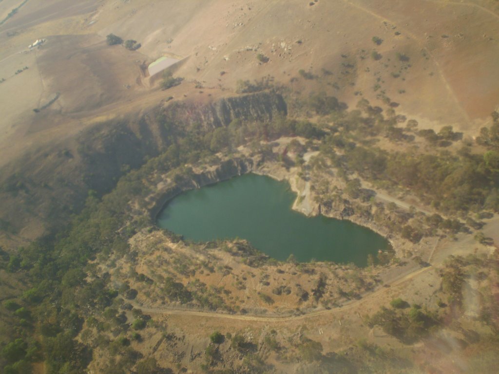
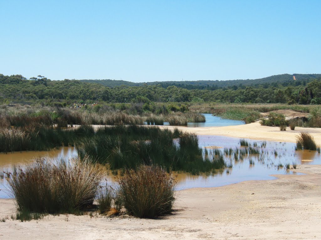
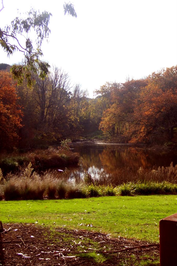
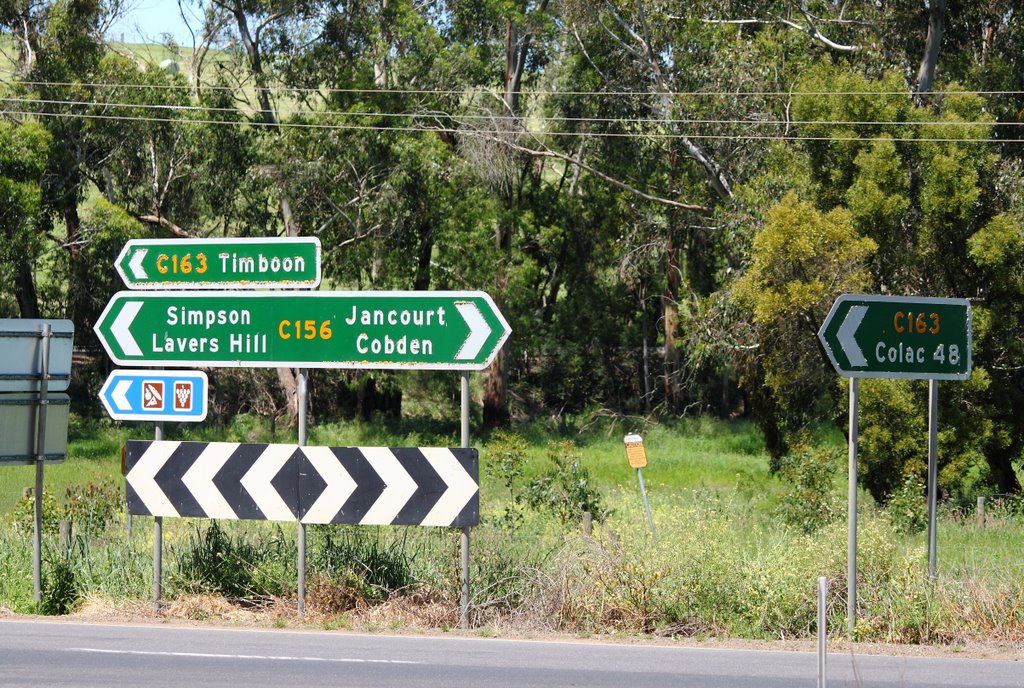
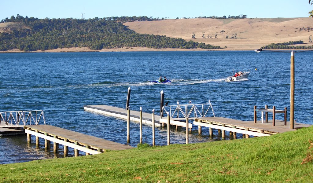
Photos of Gherang
Gherang Weather

Predicción: Overcast clouds
Temperatura: 10.8°
Humedad: 97%
Hora actual: 05:26 AM
Amanece: 06:52 AM
Anochece: 05:53 PM
Bullaharre, Australia
Latitude: -38.3505 // Longitude: 143.146
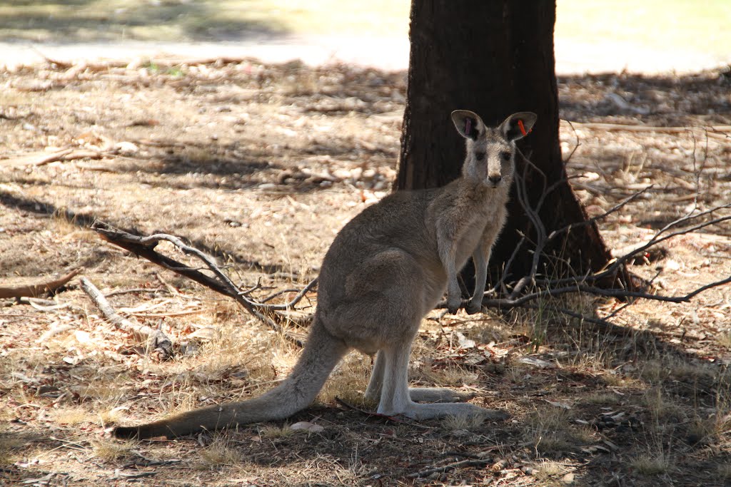
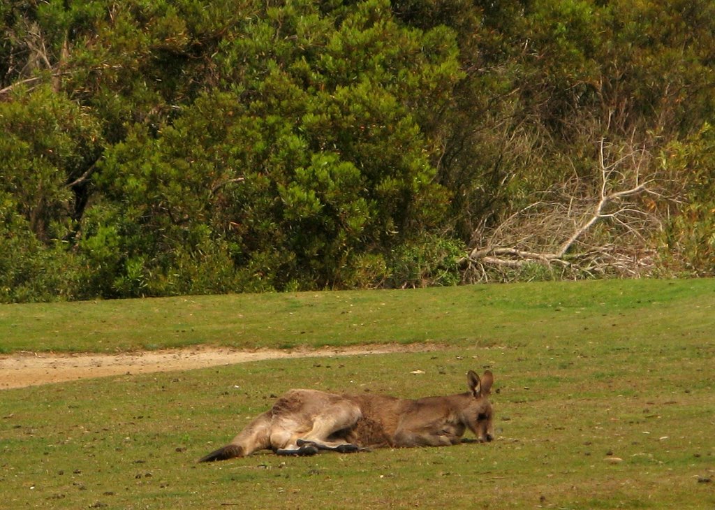
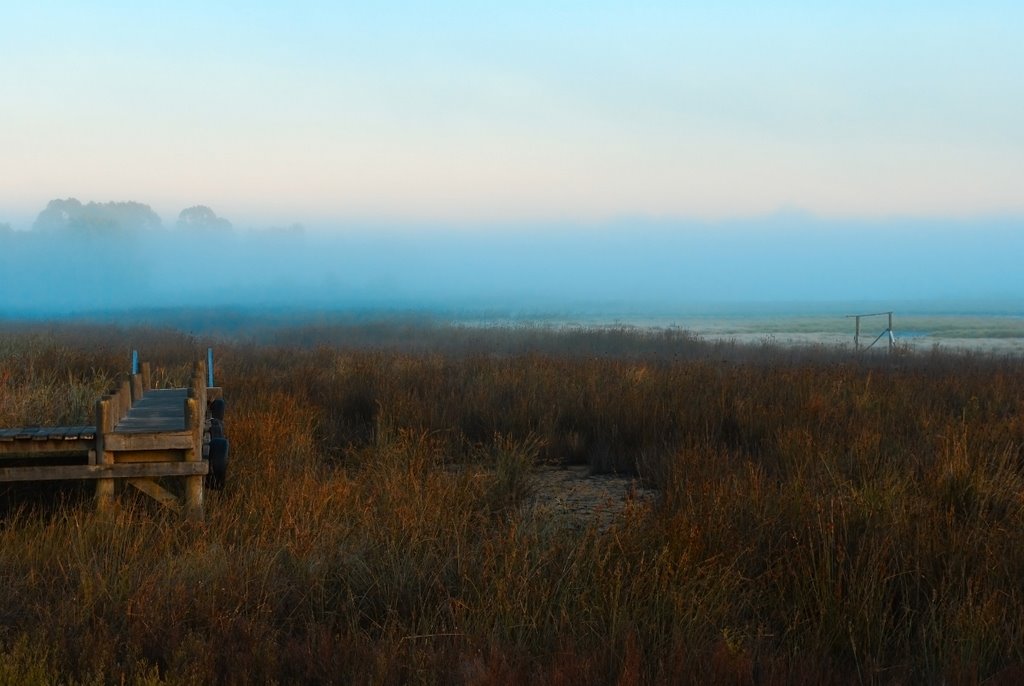
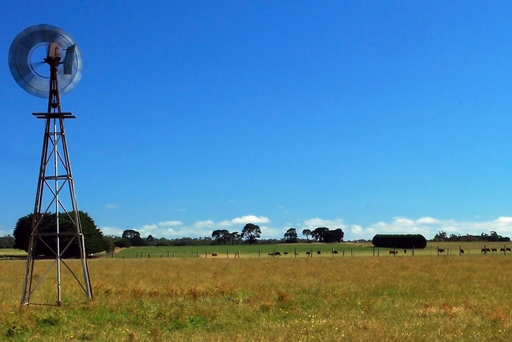
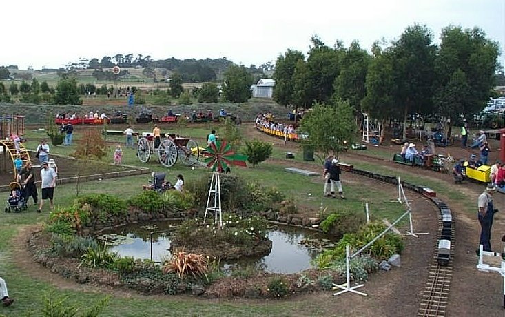
Photos of Bullaharre
Bullaharre Weather

Predicción: Overcast clouds
Temperatura: 11.8°
Humedad: 93%
Hora actual: 05:26 AM
Amanece: 06:56 AM
Anochece: 05:57 PM


