Distance between  Germantown and
  Brodribb River
108.10 mi Straight Distance
170.95 mi Driving Distance
3 hours 13 mins Estimated Driving Time
The straight distance between Germantown (Victoria) and Brodribb River (Victoria) is 108.10 mi, but the driving distance is 170.95 mi.
It takes to go from Germantown to Brodribb River.
Driving directions from Germantown to Brodribb River
Distance in kilometers
Straight distance: 173.93 km. Route distance: 275.06 km
Germantown, Australia
Latitude: -36.7429 // Longitude: 147.018
Photos of Germantown
Germantown Weather

Predicción: Few clouds
Temperatura: 16.5°
Humedad: 57%
Hora actual: 10:19 AM
Amanece: 06:40 AM
Anochece: 05:42 PM
Brodribb River, Australia
Latitude: -37.7054 // Longitude: 148.567
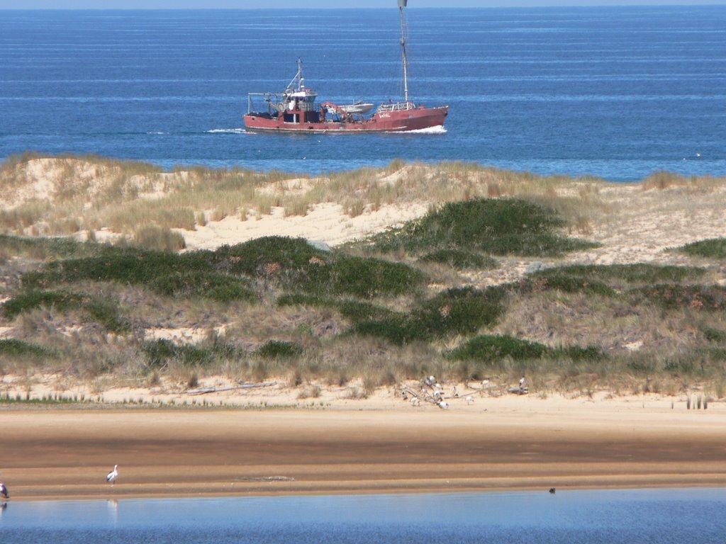
Photos of Brodribb River
Brodribb River Weather

Predicción: Overcast clouds
Temperatura: 14.0°
Humedad: 68%
Hora actual: 10:19 AM
Amanece: 06:35 AM
Anochece: 05:34 PM


