Distance between  Gellibrand and
  Kariah
30.28 mi Straight Distance
49.82 mi Driving Distance
1 hour 10 mins Estimated Driving Time
The straight distance between Gellibrand (Victoria) and Kariah (Victoria) is 30.28 mi, but the driving distance is 49.82 mi.
It takes 1 hour 1 min to go from Gellibrand to Kariah.
Driving directions from Gellibrand to Kariah
Distance in kilometers
Straight distance: 48.71 km. Route distance: 80.15 km
Gellibrand, Australia
Latitude: -38.5249 // Longitude: 143.54
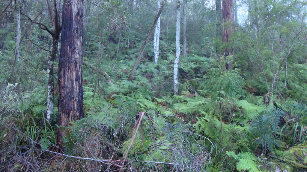
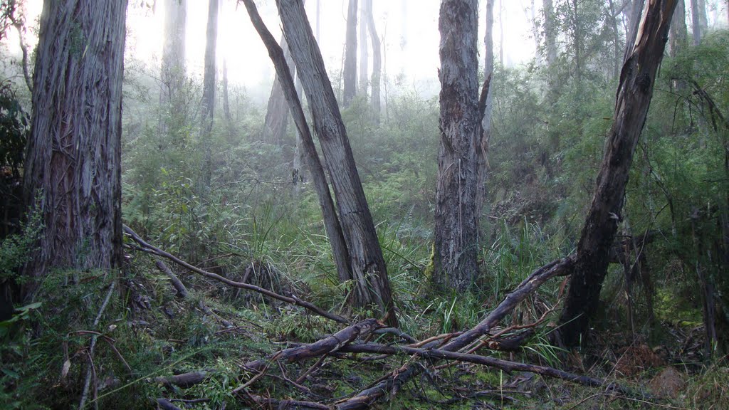
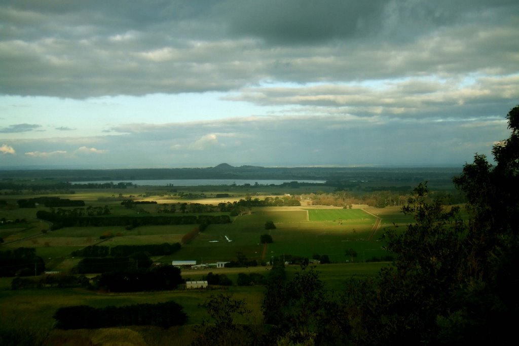
Photos of Gellibrand
Gellibrand Weather

Predicción: Overcast clouds
Temperatura: 15.3°
Humedad: 82%
Hora actual: 12:00 AM
Amanece: 08:54 PM
Anochece: 07:56 AM
Kariah, Australia
Latitude: -38.1679 // Longitude: 143.216
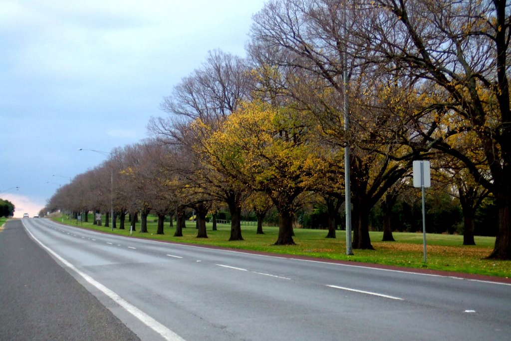
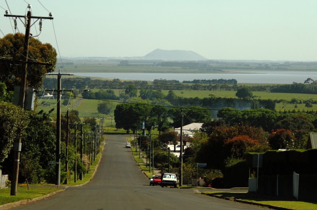
Photos of Kariah
Kariah Weather

Predicción: Overcast clouds
Temperatura: 14.1°
Humedad: 84%
Hora actual: 02:10 PM
Amanece: 06:55 AM
Anochece: 05:58 PM


