Distance between  Gayndah and
  Drillham
122.92 mi Straight Distance
189.10 mi Driving Distance
4 hours 13 mins Estimated Driving Time
The straight distance between Gayndah (Queensland) and Drillham (Queensland) is 122.92 mi, but the driving distance is 189.10 mi.
It takes to go from Gayndah to Drillham.
Driving directions from Gayndah to Drillham
Distance in kilometers
Straight distance: 197.78 km. Route distance: 304.26 km
Gayndah, Australia
Latitude: -25.6244 // Longitude: 151.609
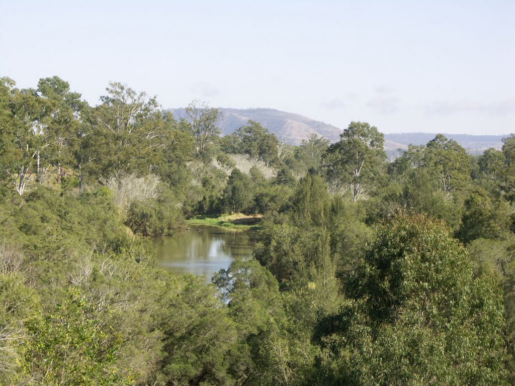
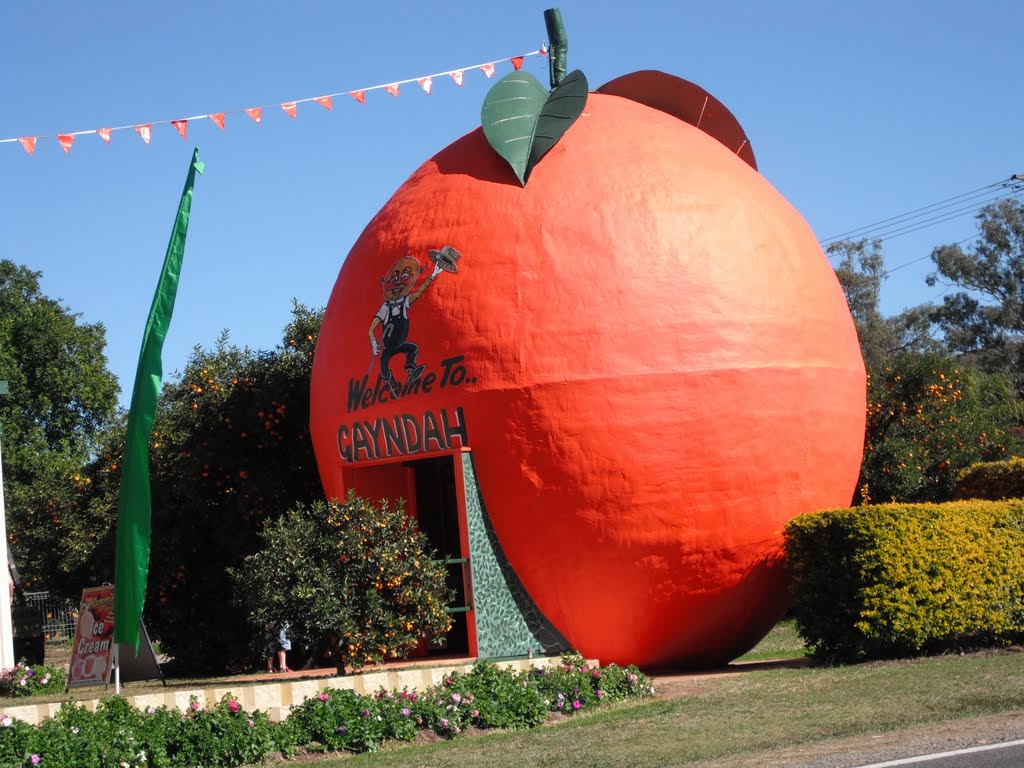
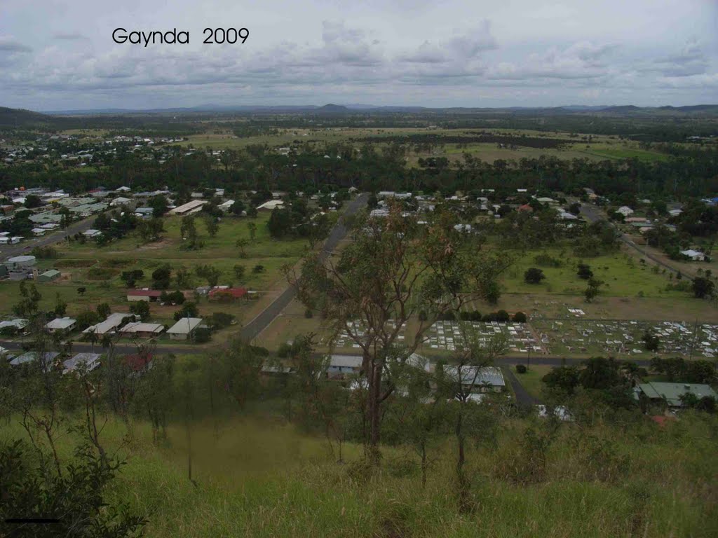
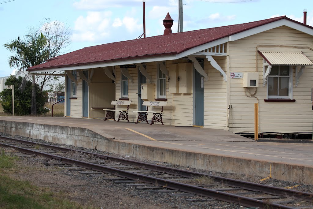
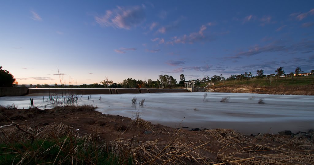
Photos of Gayndah
Gayndah Weather

Predicción: Overcast clouds
Temperatura: 28.8°
Humedad: 45%
Hora actual: 12:29 PM
Amanece: 06:10 AM
Anochece: 05:34 PM
Drillham, Australia
Latitude: -26.6414 // Longitude: 149.983
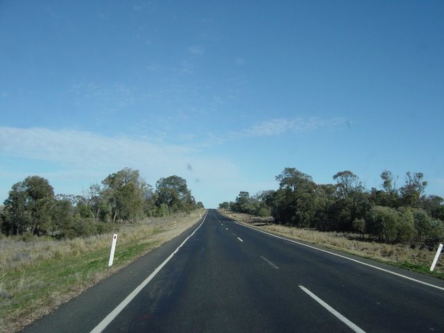
Photos of Drillham
Drillham Weather

Predicción: Clear sky
Temperatura: 24.1°
Humedad: 36%
Hora actual: 10:00 AM
Amanece: 06:18 AM
Anochece: 05:39 PM


