Distance between  Gascoyne Junction and
  Yalata
1,103.19 mi Straight Distance
1,549.34 mi Driving Distance
1 day 1 hour Estimated Driving Time
The straight distance between Gascoyne Junction (Western Australia) and Yalata (South Australia) is 1,103.19 mi, but the driving distance is 1,549.34 mi.
It takes to go from Gascoyne Junction to Yalata.
Driving directions from Gascoyne Junction to Yalata
Distance in kilometers
Straight distance: 1,775.04 km. Route distance: 2,492.88 km
Gascoyne Junction, Australia
Latitude: -25.05 // Longitude: 115.21
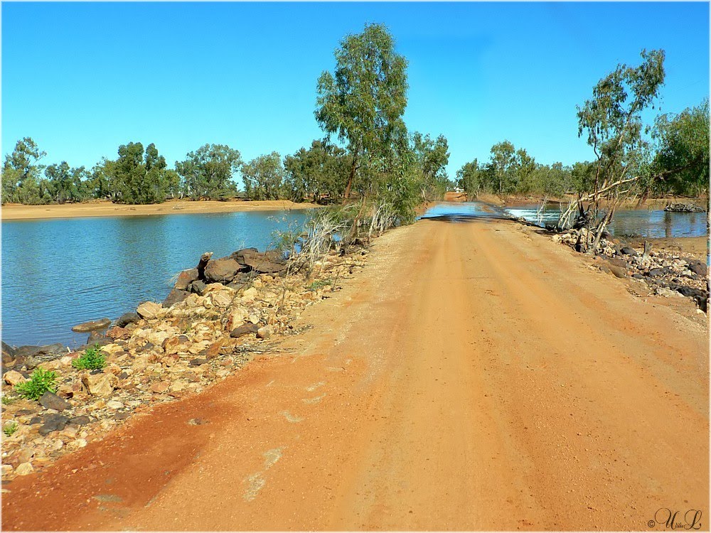
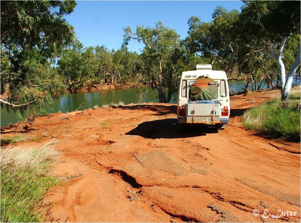
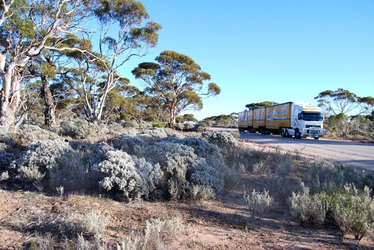
Photos of Gascoyne Junction
Gascoyne Junction Weather

Predicción: Scattered clouds
Temperatura: 35.5°
Humedad: 16%
Hora actual: 05:15 PM
Amanece: 06:34 AM
Anochece: 06:03 PM
Yalata, Australia
Latitude: -31.5009 // Longitude: 131.824
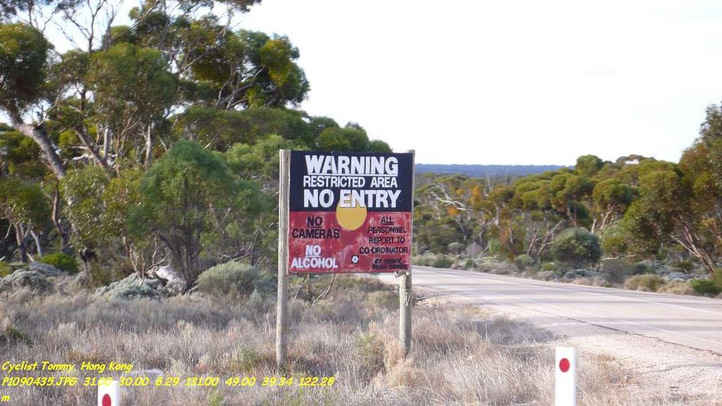
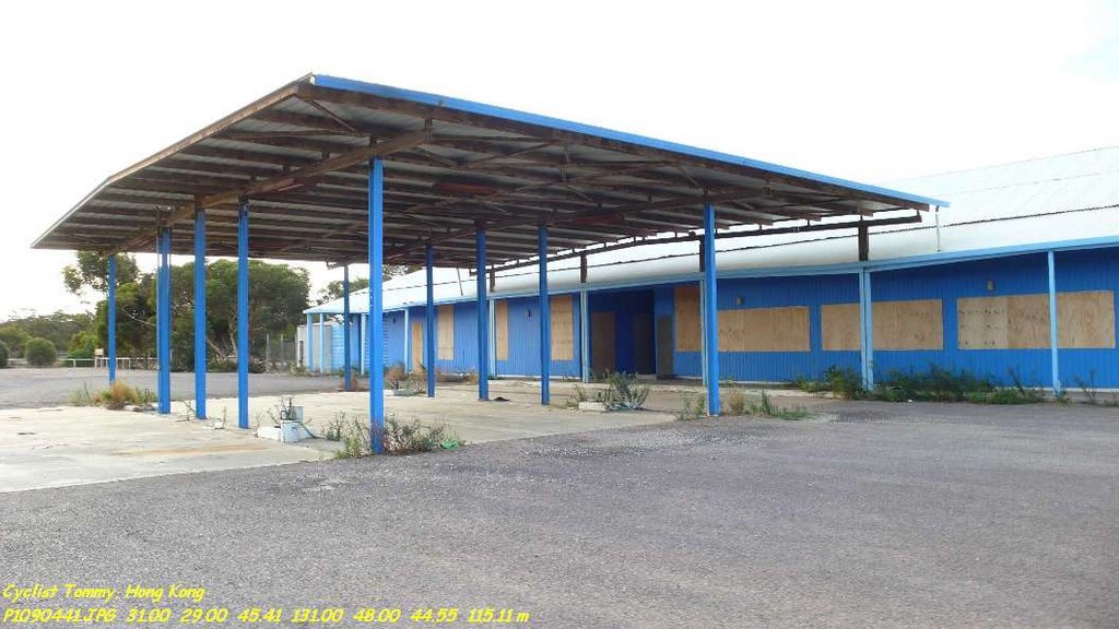
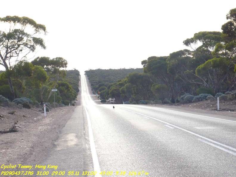
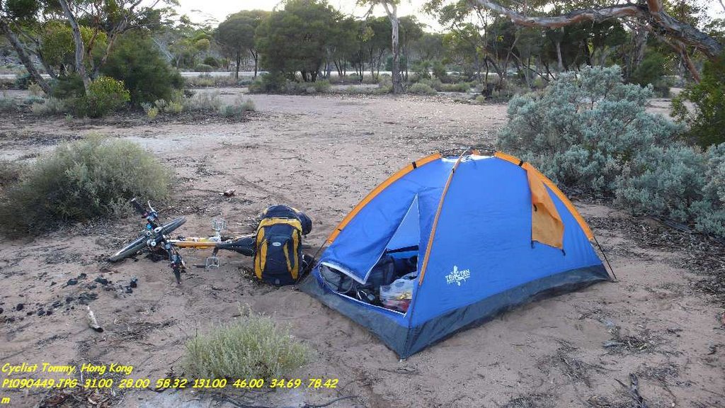
Photos of Yalata
Yalata Weather

Predicción: Clear sky
Temperatura: 16.1°
Humedad: 69%
Hora actual: 06:45 PM
Amanece: 07:03 AM
Anochece: 06:20 PM


