Distance between  Gapsted and
  Wrathung
76.49 mi Straight Distance
173.17 mi Driving Distance
4 hours 43 mins Estimated Driving Time
The straight distance between Gapsted (Victoria) and Wrathung (Victoria) is 76.49 mi, but the driving distance is 173.17 mi.
It takes to go from Gapsted to Wrathung.
Driving directions from Gapsted to Wrathung
Distance in kilometers
Straight distance: 123.08 km. Route distance: 278.63 km
Gapsted, Australia
Latitude: -36.5074 // Longitude: 146.676
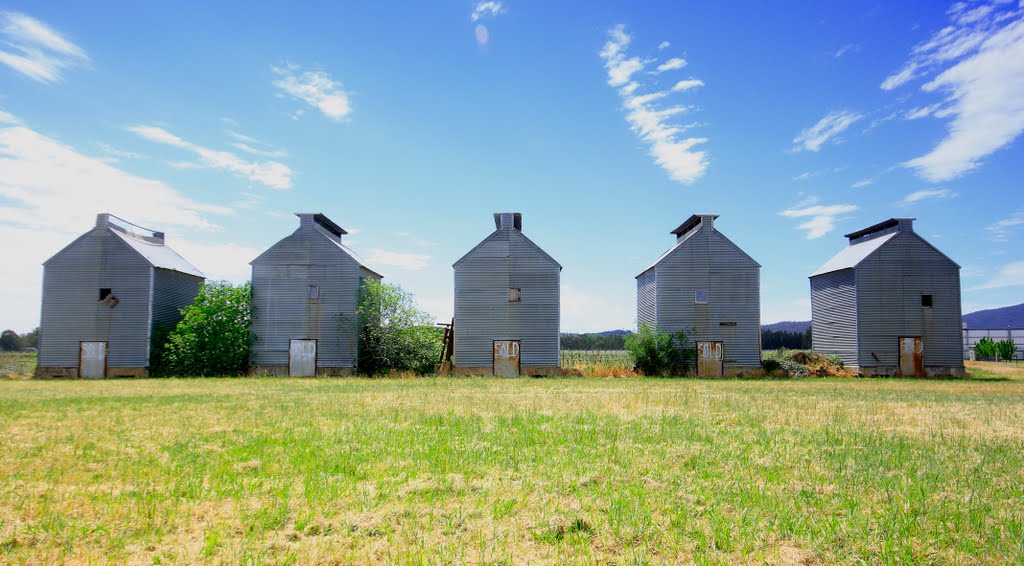
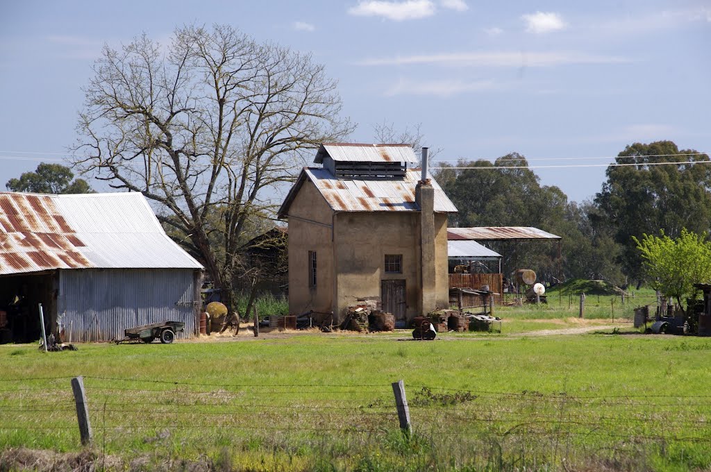
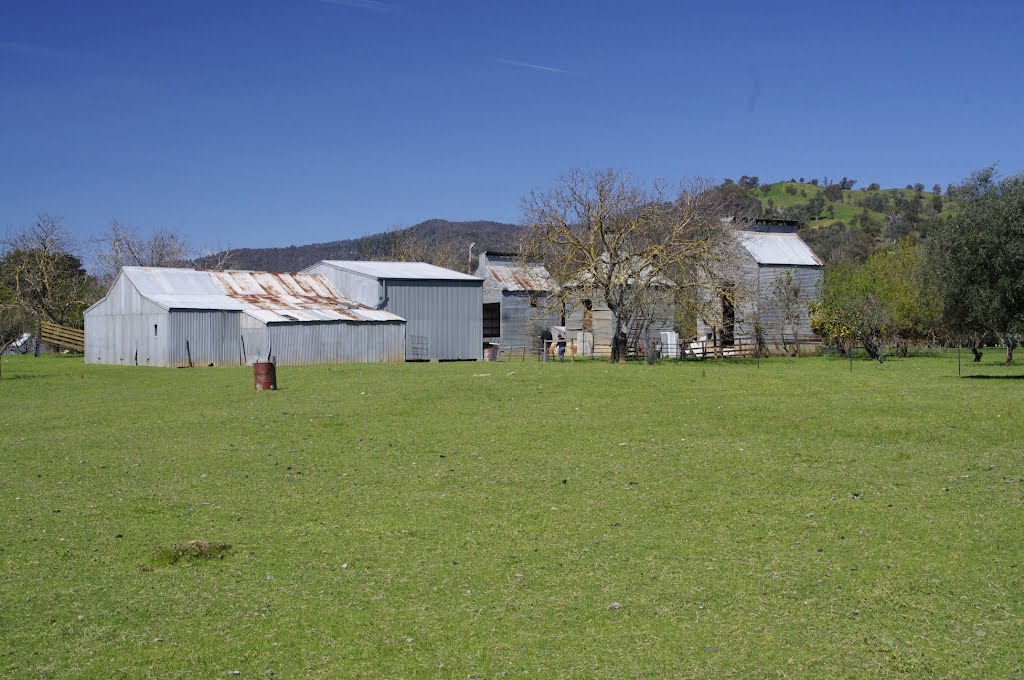
Photos of Gapsted
Gapsted Weather

Predicción: Broken clouds
Temperatura: 11.9°
Humedad: 69%
Hora actual: 07:40 PM
Amanece: 06:41 AM
Anochece: 05:43 PM
Wrathung, Australia
Latitude: -37.5938 // Longitude: 146.943
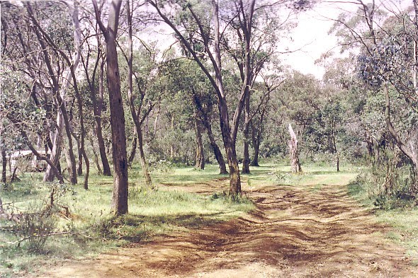
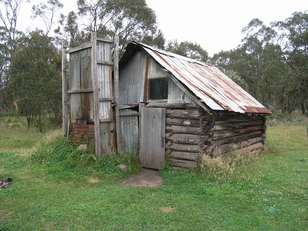
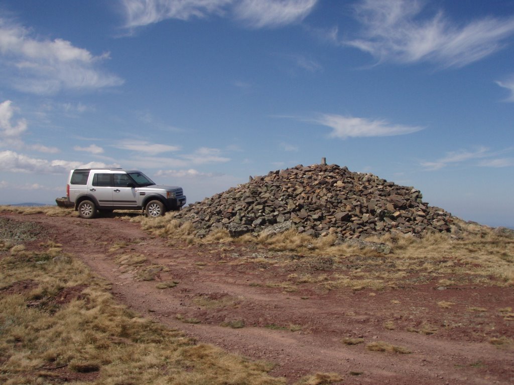
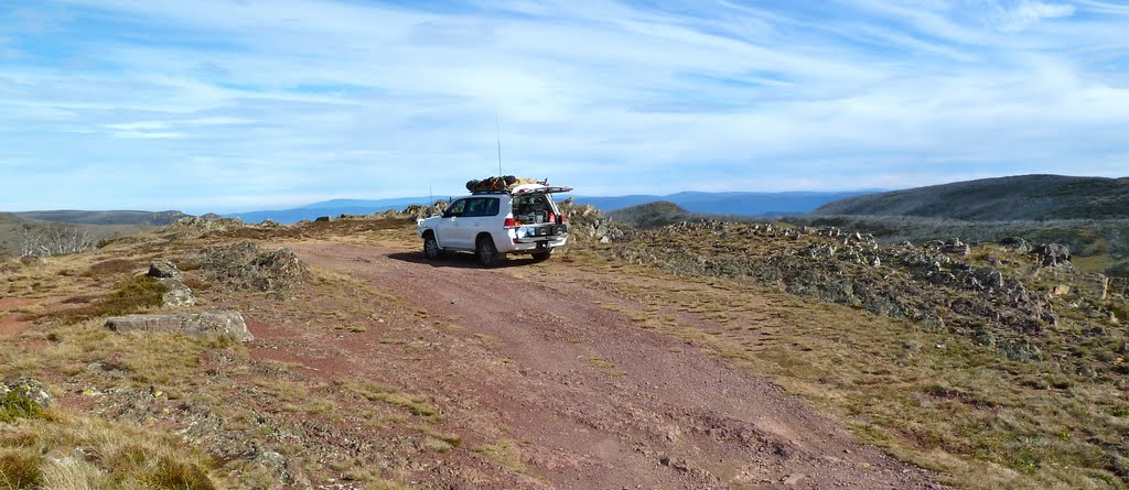
Photos of Wrathung
Wrathung Weather

Predicción: Broken clouds
Temperatura: 7.3°
Humedad: 90%
Hora actual: 10:00 AM
Amanece: 06:41 AM
Anochece: 05:41 PM


