Distance between  Foxhow and
  Rathscar
73.57 mi Straight Distance
89.31 mi Driving Distance
2 hours 1 mins Estimated Driving Time
The straight distance between Foxhow (Victoria) and Rathscar (Victoria) is 73.57 mi, but the driving distance is 89.31 mi.
It takes to go from Foxhow to Rathscar.
Driving directions from Foxhow to Rathscar
Distance in kilometers
Straight distance: 118.37 km. Route distance: 143.70 km
Foxhow, Australia
Latitude: -38.0409 // Longitude: 143.477
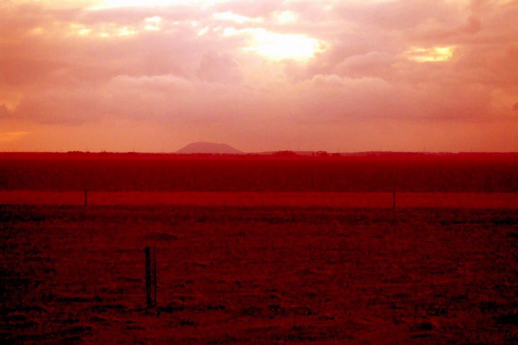
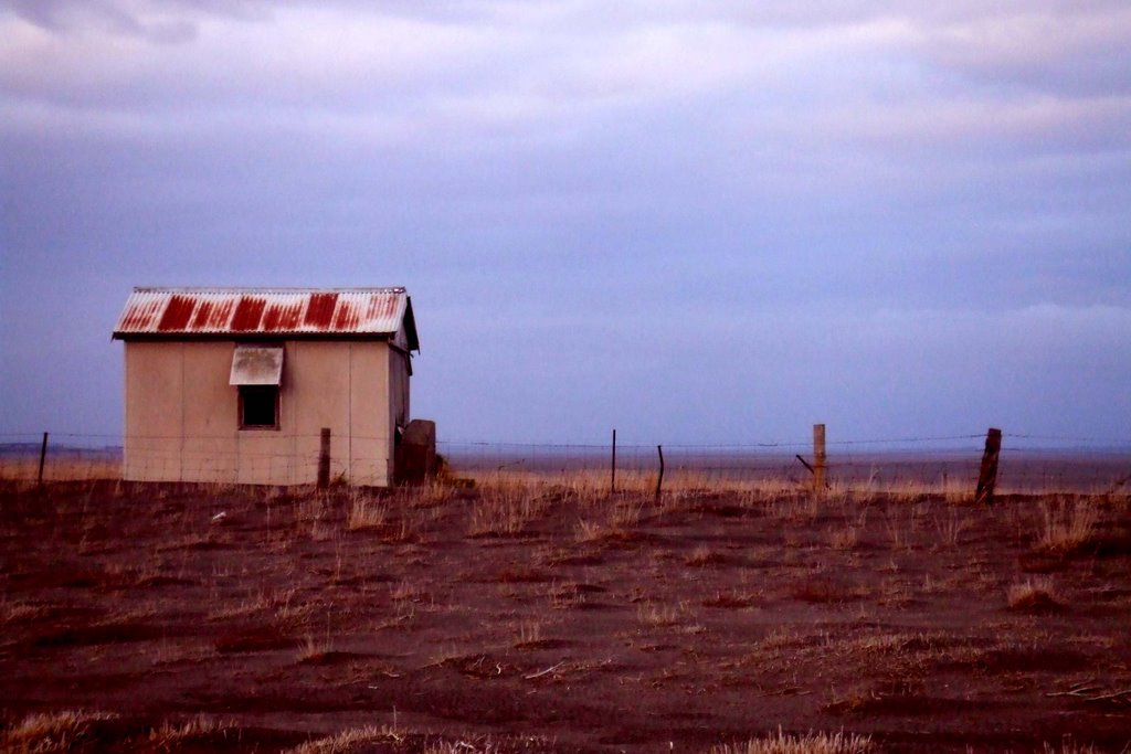
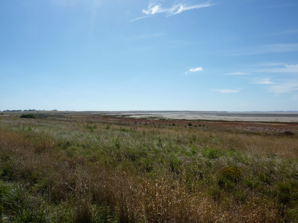
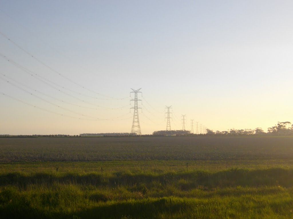
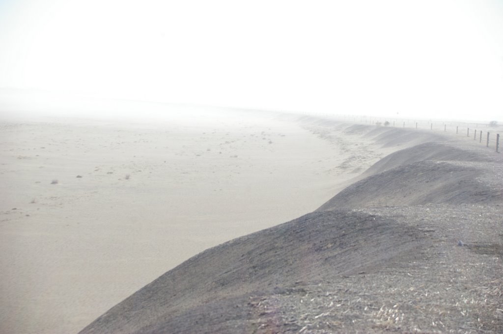
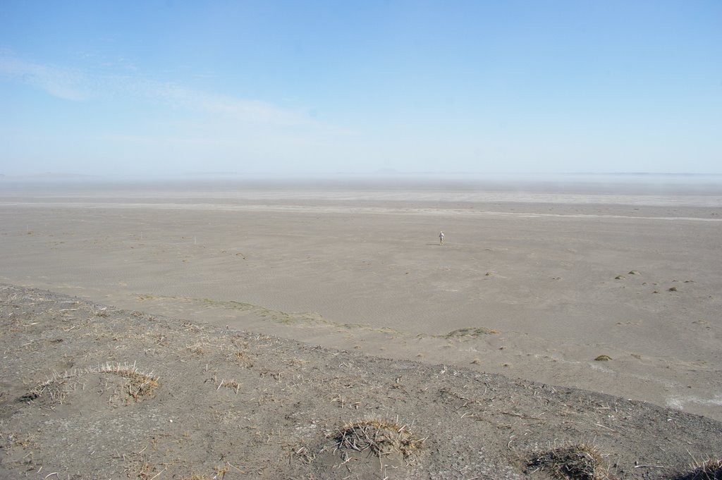
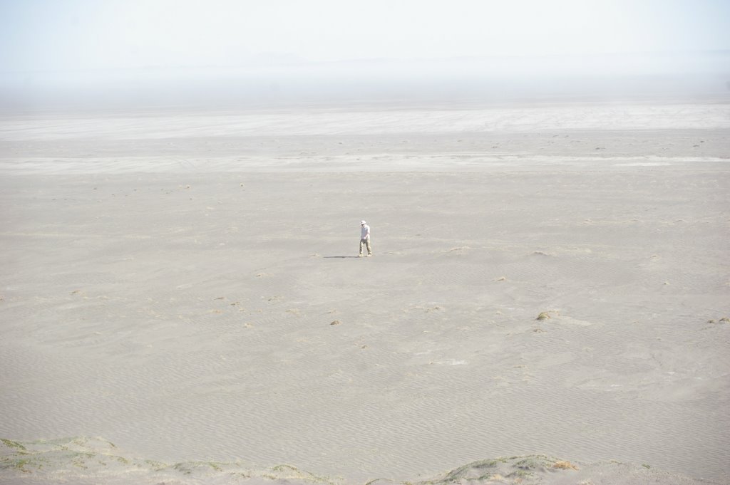
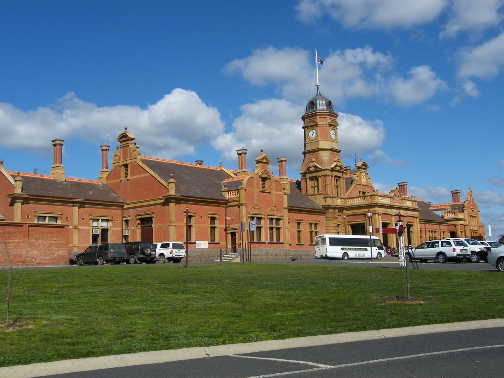
Photos of Foxhow
Foxhow Weather

Predicción: Overcast clouds
Temperatura: 13.1°
Humedad: 90%
Hora actual: 12:00 AM
Amanece: 08:56 PM
Anochece: 07:54 AM
Rathscar, Australia
Latitude: -36.9778 // Longitude: 143.552
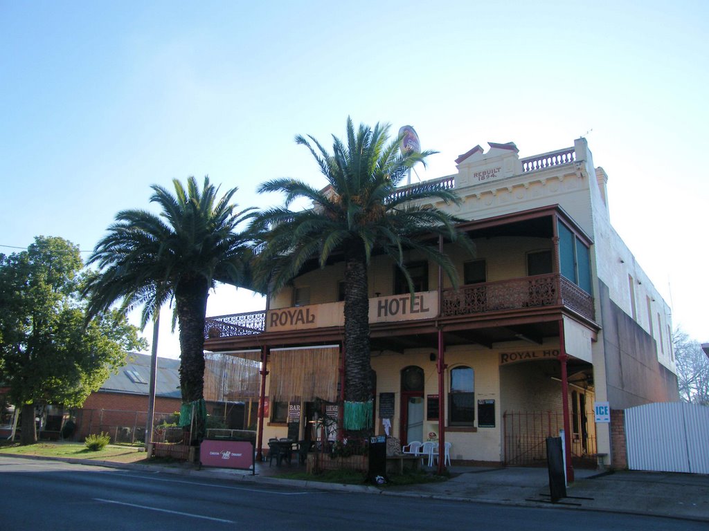
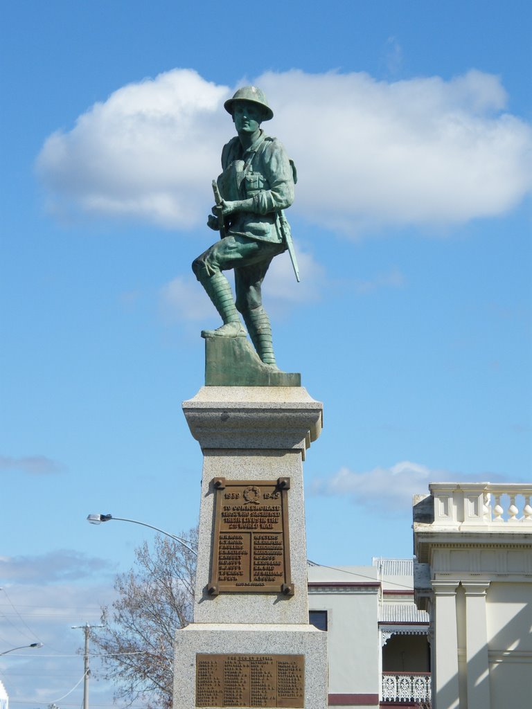
Photos of Rathscar
Rathscar Weather

Predicción: Overcast clouds
Temperatura: 12.7°
Humedad: 83%
Hora actual: 12:00 AM
Amanece: 08:54 PM
Anochece: 07:55 AM


